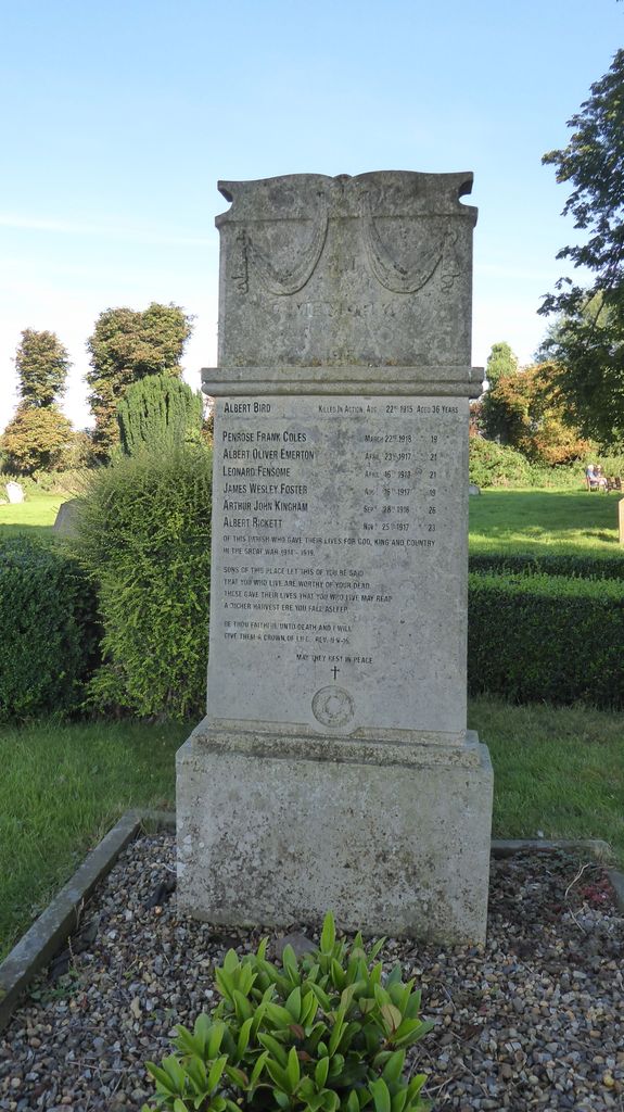
| Memorials | : | 3 |
| Location | : | Chalgrave, Central Bedfordshire Unitary Authority, England |
| Coordinate | : | 51.9362000, -0.5343000 |
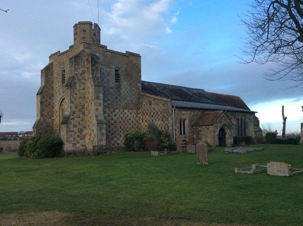
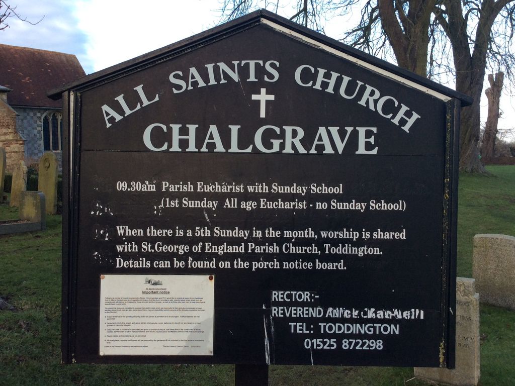
| Description | : | Church of All Saints is a Grade I listed church in Chalgrave, Bedfordshire, England. It became a listed building on 3 February 1967. The church, dedicated to All Saints, is an old structure. Its consecration recorded as taking place in 1219. It features a nave, chancel, and aisles. The large square tower contains three bells. The nave has five bays. Some of the arches are Early English Period, with foliage decorated caps, while other caps are moulded. The register dates from the year 1539. Its fittings include two antique tombs with statues of knights in armour. The interior also features... Read More |
frequently asked questions (FAQ):
-
Where is All Saints Churchyard?
All Saints Churchyard is located at Chalgrave, Central Bedfordshire Unitary Authority ,Bedfordshire ,England.
-
All Saints Churchyard cemetery's updated grave count on graveviews.com?
3 memorials
-
Where are the coordinates of the All Saints Churchyard?
Latitude: 51.9362000
Longitude: -0.5343000
Nearby Cemetories:
1. St George of England Parish Church
Toddington, Central Bedfordshire Unitary Authority, England
Coordinate: 51.9498000, -0.5318000
2. Toddington Parish Cemetery
Toddington, Central Bedfordshire Unitary Authority, England
Coordinate: 51.9509830, -0.5282330
3. All Saints Churchyard
Houghton Regis, Central Bedfordshire Unitary Authority, England
Coordinate: 51.9048640, -0.5212930
4. Houghton Regis Cemetery
Houghton Regis, Central Bedfordshire Unitary Authority, England
Coordinate: 51.9019710, -0.5229130
5. St. Mary the Virgin Churchyard
Sundon, Central Bedfordshire Unitary Authority, England
Coordinate: 51.9301970, -0.4769740
6. St Mary the Virgin Churchyard
Harlington, Central Bedfordshire Unitary Authority, England
Coordinate: 51.9637650, -0.4909810
7. St. Nicholas Churchyard
Hockliffe, Central Bedfordshire Unitary Authority, England
Coordinate: 51.9328680, -0.5964160
8. St Mary the Virgin Church Cemetery
Harlington, Central Bedfordshire Unitary Authority, England
Coordinate: 51.9645140, -0.4887520
9. All Saints Churchyard
Tilsworth, Central Bedfordshire Unitary Authority, England
Coordinate: 51.9083138, -0.5837350
10. St Nicholas Churchyard
Tingrith, Central Bedfordshire Unitary Authority, England
Coordinate: 51.9812660, -0.5347790
11. St. Peter Churchyard
Milton Bryan, Central Bedfordshire Unitary Authority, England
Coordinate: 51.9671660, -0.5879490
12. St Peter and All Saints Churchyard
Battlesden, Central Bedfordshire Unitary Authority, England
Coordinate: 51.9520610, -0.6059540
13. St Michael Churchyard
Eggington, Central Bedfordshire Unitary Authority, England
Coordinate: 51.9168460, -0.6103740
14. St John the Baptist Churchyard
Eversholt, Central Bedfordshire Unitary Authority, England
Coordinate: 51.9822680, -0.5702150
15. Dunstable Priory
Dunstable, Central Bedfordshire Unitary Authority, England
Coordinate: 51.8859940, -0.5177920
16. St. Mary Magdalene Church Cemetery
Westoning, Central Bedfordshire Unitary Authority, England
Coordinate: 51.9834500, -0.5014400
17. St. Mary Magdalene Churchyard
Westoning, Central Bedfordshire Unitary Authority, England
Coordinate: 51.9841592, -0.5041169
18. Dunstable Cemetery
Dunstable, Central Bedfordshire Unitary Authority, England
Coordinate: 51.8831062, -0.5316300
19. St Mary Churchyard
Potsgrove, Central Bedfordshire Unitary Authority, England
Coordinate: 51.9589970, -0.6166510
20. St Giles of Provence churchyard
Totternhoe, Central Bedfordshire Unitary Authority, England
Coordinate: 51.8778108, -0.5656137
21. St Mary the Virgin Churchyard
Eaton Bray, Central Bedfordshire Unitary Authority, England
Coordinate: 51.8776980, -0.5655540
22. St Peter and St Paul Churchyard
Flitwick, Central Bedfordshire Unitary Authority, England
Coordinate: 51.9970866, -0.5015783
23. All Saints Churchyard
Marsworth, Aylesbury Vale District, England
Coordinate: 51.9219473, -0.6359566
24. St. John The Baptist Churchyard
Stanbridge, Central Bedfordshire Unitary Authority, England
Coordinate: 51.9219541, -0.6359898


