| Memorials | : | 3 |
| Location | : | Burford, Brant County Municipality, Canada |
| Coordinate | : | 43.0044851, -80.4600627 |
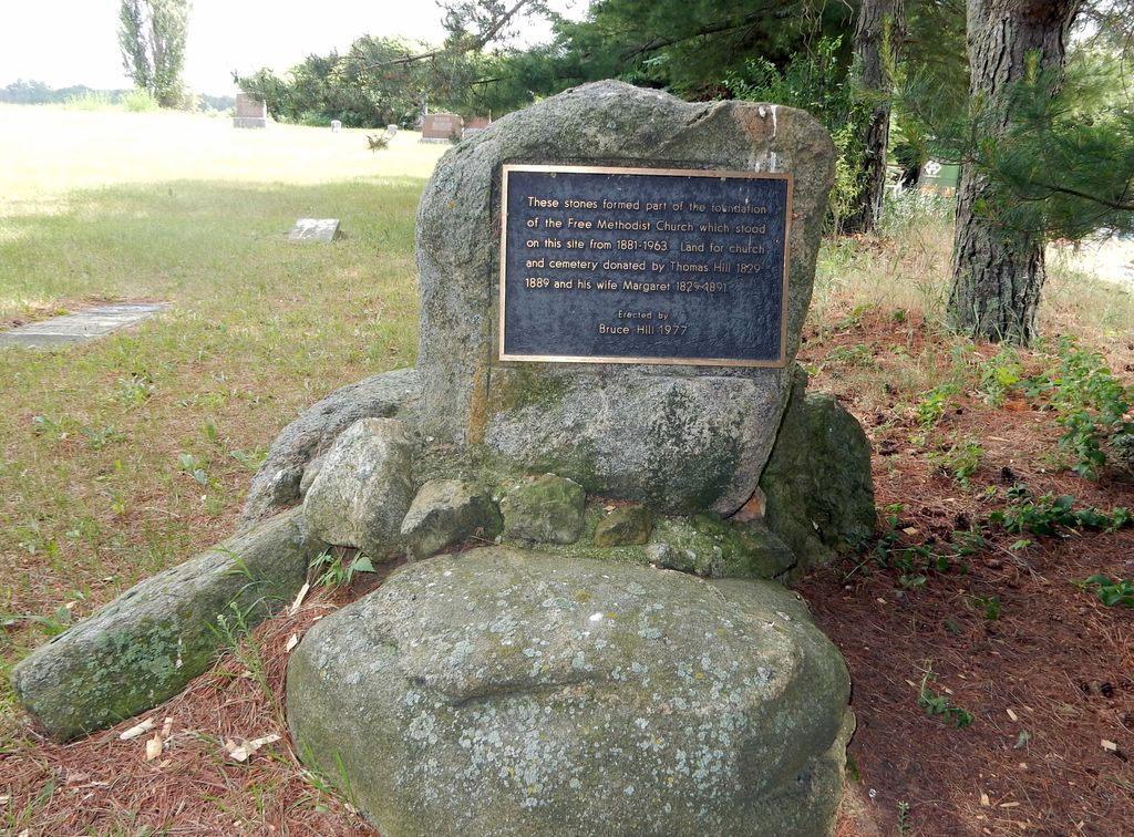
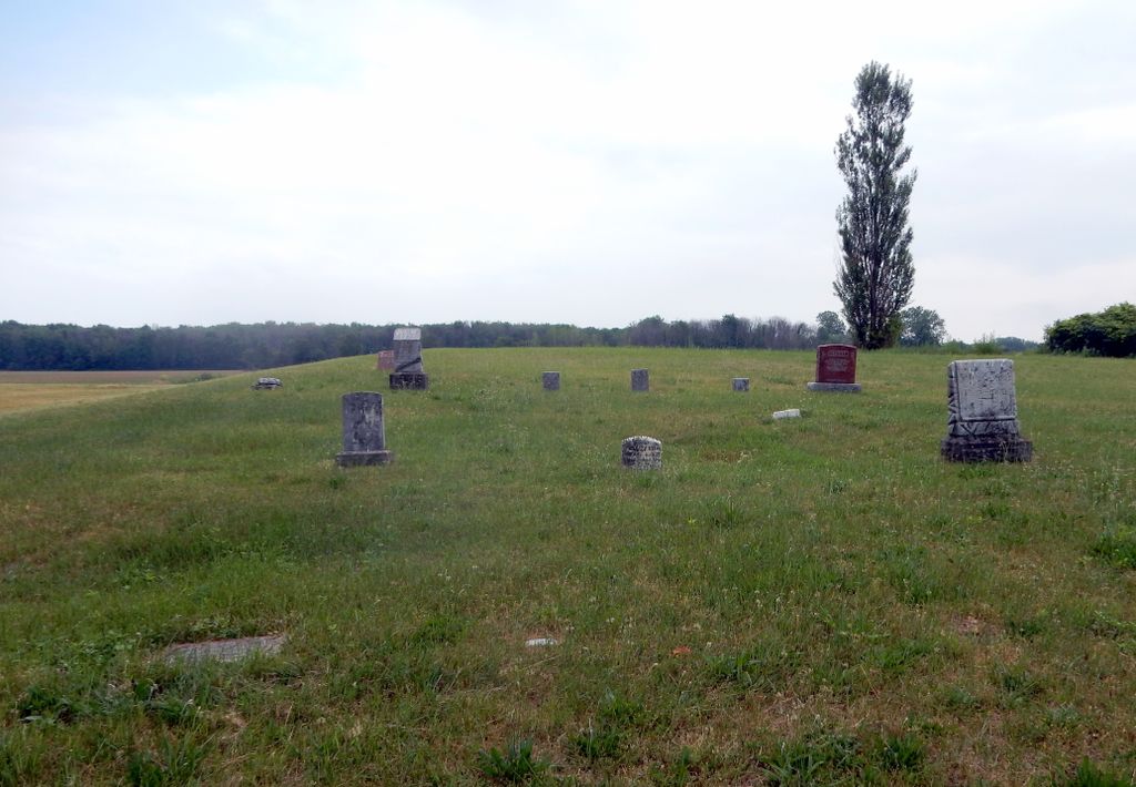
| Description | : | Lot 12, Concession 14, Burford Township This cemetery is located on Middle Townline Road (aka Brant County Road #25), 0.7 kms north of Burford/Delhi Town Road. There is a plaque attached to a large stone at the edge of the cemetery that it reads: "These stones formed part of the foundation of the Free Methodist Church which stood on this site from 1881 - 1963. Land for church and cemetery donated by Thomas Hill 1829 - 1889 and his wife Margaret 1829 - 1891. Erected by Bruce Hill 1977." This inactive cemetery is maintained by the County of Brant. This cemetery is not be... Read More |
frequently asked questions (FAQ):
-
Where is Hill Free Methodist Cemetery?
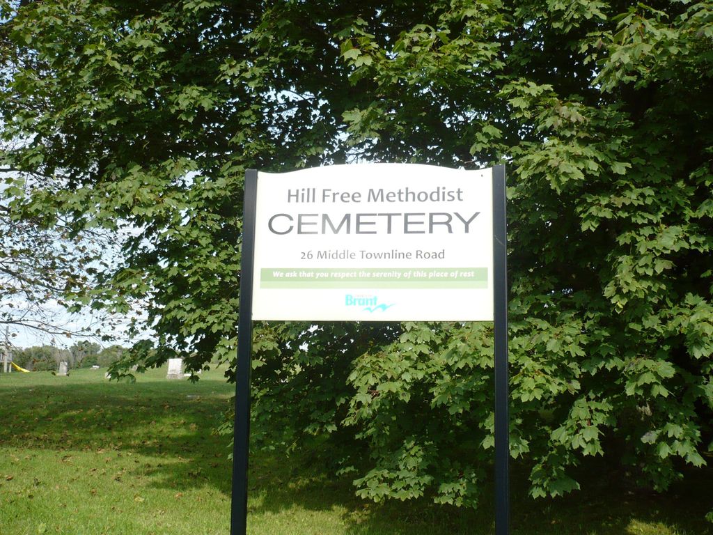
Hill Free Methodist Cemetery is located at 26 Middle Townline Road Burford, Brant County Municipality ,Ontario ,Canada.
-
Hill Free Methodist Cemetery cemetery's updated grave count on graveviews.com?
3 memorials
-
Where are the coordinates of the Hill Free Methodist Cemetery?
Latitude: 43.0044851
Longitude: -80.4600627
Nearby Cemetories:
1. Kelvin Cemetery
Burford, Brant County Municipality, Canada
Coordinate: 43.0005280, -80.4587240
2. Kelvin United Cemetery
Kelvin, Norfolk County, Canada
Coordinate: 42.9974900, -80.4591900
3. Northfield Cemetery
Northfield, Brant County Municipality, Canada
Coordinate: 43.0303600, -80.4847900
4. Hatchley Cemetery
Hatchley, Brant County Municipality, Canada
Coordinate: 43.0247000, -80.5253000
5. Zion United Cemetery
Vanessa, Norfolk County, Canada
Coordinate: 42.9959500, -80.3873700
6. Miller-Boomer Cemetery
Teeterville, Norfolk County, Canada
Coordinate: 42.9529660, -80.4309030
7. Vanessa Cemetery
Vanessa, Norfolk County, Canada
Coordinate: 42.9689400, -80.3943500
8. Teeterville Cemetery
Teeterville, Norfolk County, Canada
Coordinate: 42.9451400, -80.4458000
9. Fairfield Plains United Church Cemetery
Fairfield Plain, Brant County Municipality, Canada
Coordinate: 43.0549170, -80.4102170
10. Harley Cemetery
Harley, Brant County Municipality, Canada
Coordinate: 43.0695000, -80.4750214
11. Scotland Cemetery
Scotland, Brant County Municipality, Canada
Coordinate: 43.0294820, -80.3756580
12. Bookton Cemetery
Bookton, Norfolk County, Canada
Coordinate: 42.9458700, -80.5059800
13. Norwich Gore Cemetery
Norwich, Oxford County Municipality, Canada
Coordinate: 42.9999400, -80.5564000
14. White Cemetery
Harley, Brant County Municipality, Canada
Coordinate: 43.0494000, -80.5377000
15. Dutcher Cemetery
Brant County Municipality, Canada
Coordinate: 43.0772000, -80.4336000
16. New Durham Cemetery
Oxford County Municipality, Canada
Coordinate: 43.0418091, -80.5674210
17. Windham Centre Cemetery
Windham Centre, Norfolk County, Canada
Coordinate: 42.9131300, -80.4328800
18. Oakland Pioneer Cemetery
Oakland, Brant County Municipality, Canada
Coordinate: 43.0315514, -80.3313446
19. Burford Pioneer Cemetery
Burford, Brant County Municipality, Canada
Coordinate: 43.1019800, -80.4361200
20. Burford Congregational Cemetery
Burford, Brant County Municipality, Canada
Coordinate: 43.1018370, -80.4282920
21. Oakland Cemetery
Oakland, Brant County Municipality, Canada
Coordinate: 43.0324707, -80.3261032
22. Holy Trinity Anglican Church Cemetery
Burford, Brant County Municipality, Canada
Coordinate: 43.1039330, -80.4266590
23. Wilsonville Cemetery
Wilsonville, Norfolk County, Canada
Coordinate: 42.9952090, -80.3196790
24. Fairchild Cemetery
Oakland, Brant County Municipality, Canada
Coordinate: 43.0628000, -80.3436000


