| Memorials | : | 115 |
| Location | : | Marysville, Yuba County, USA |
| Coordinate | : | 39.1621367, -121.5889756 |
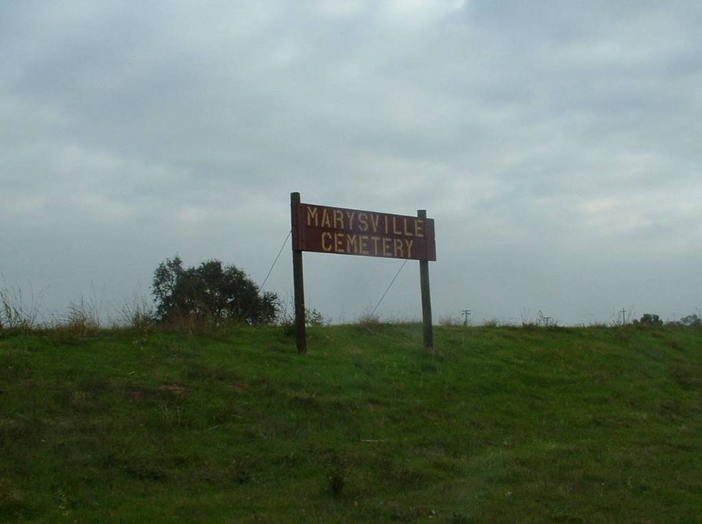
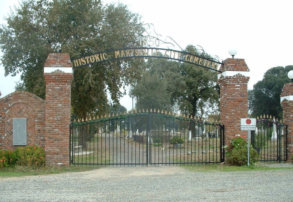
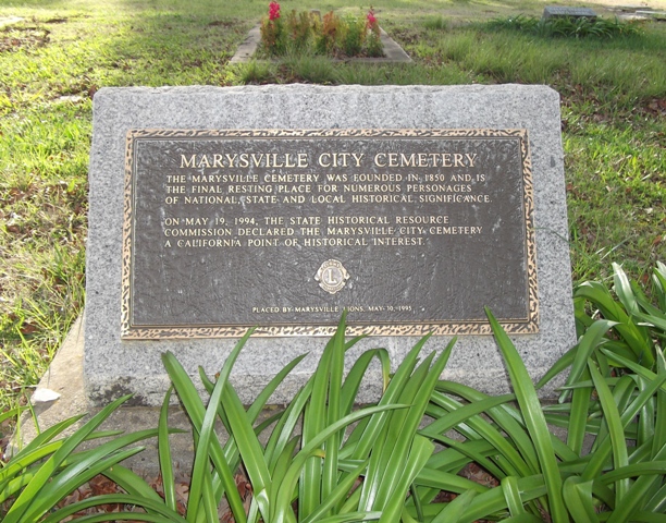
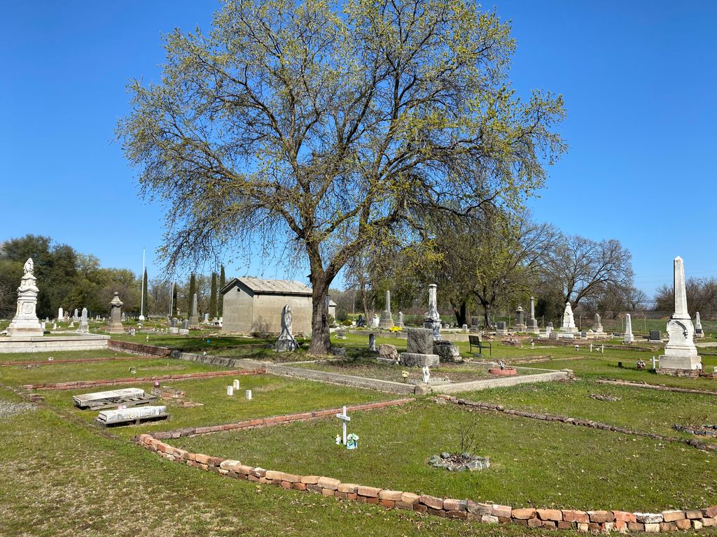
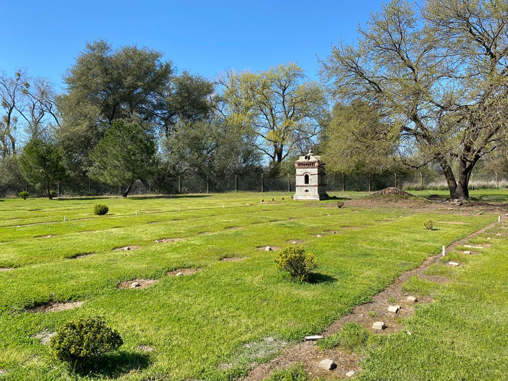
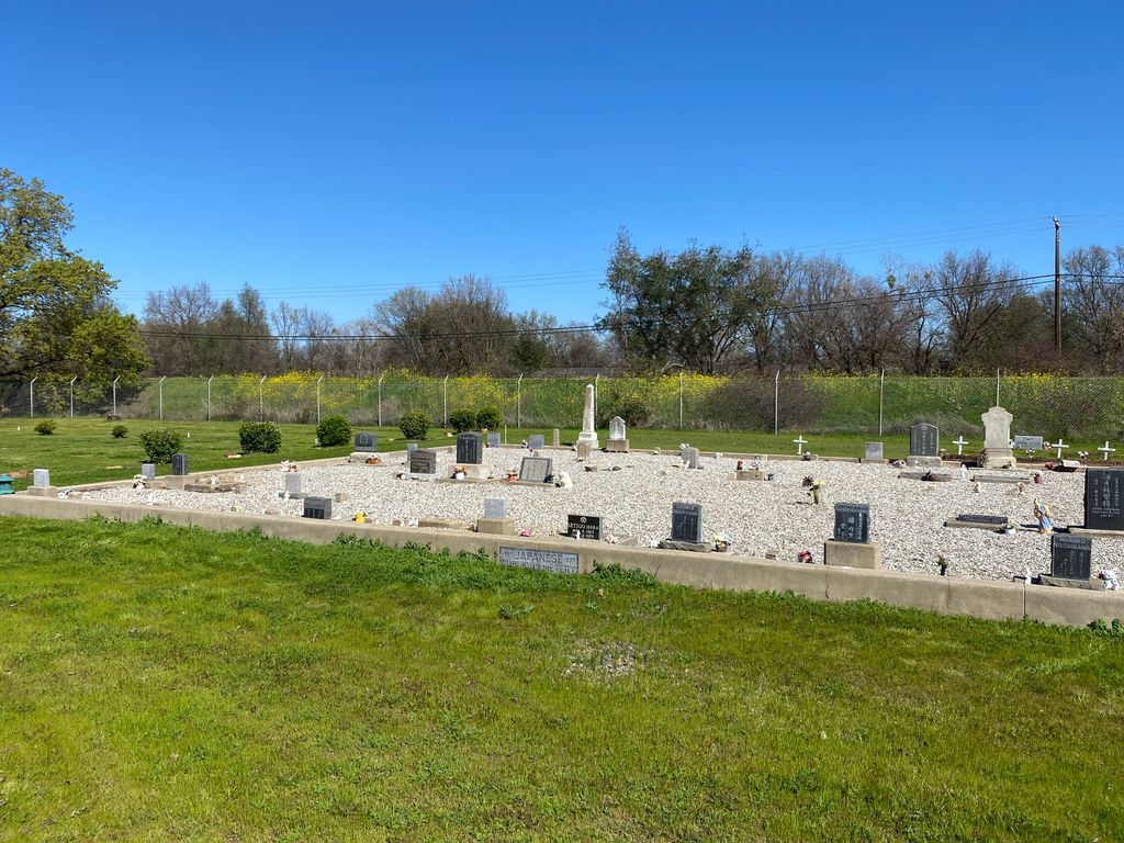
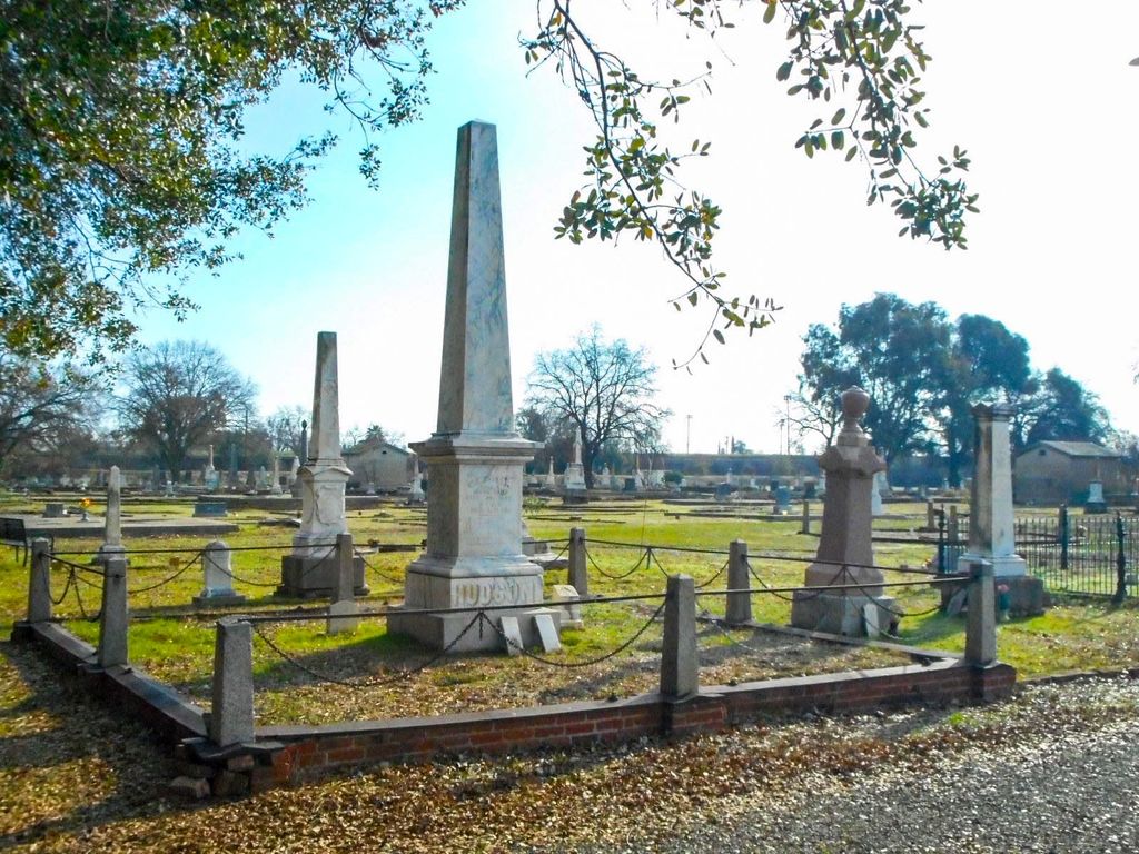
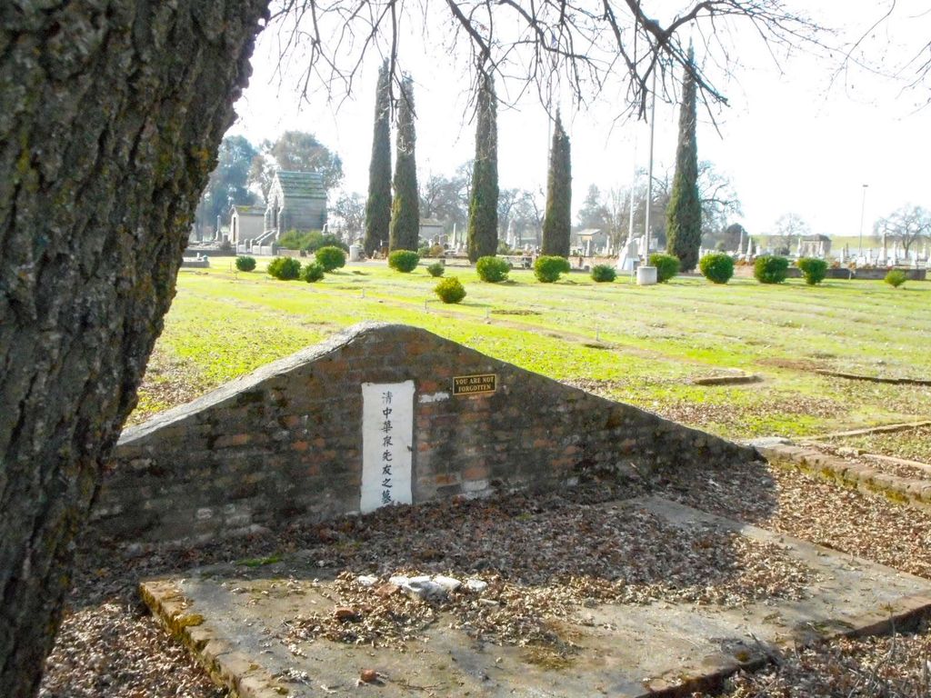
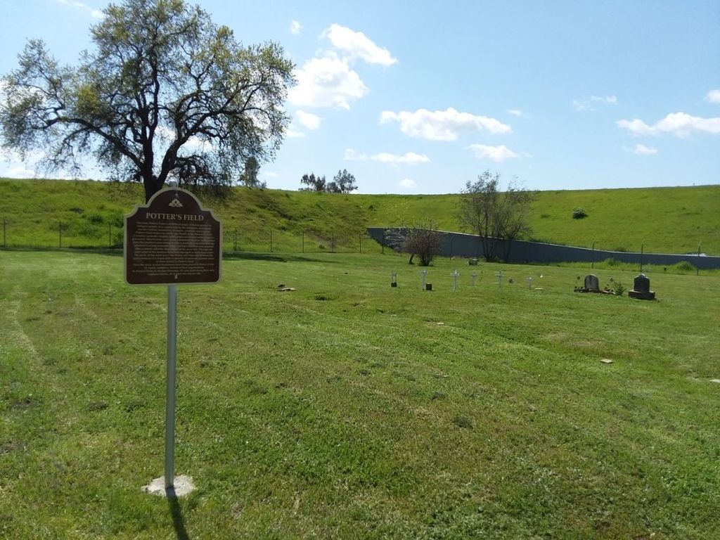
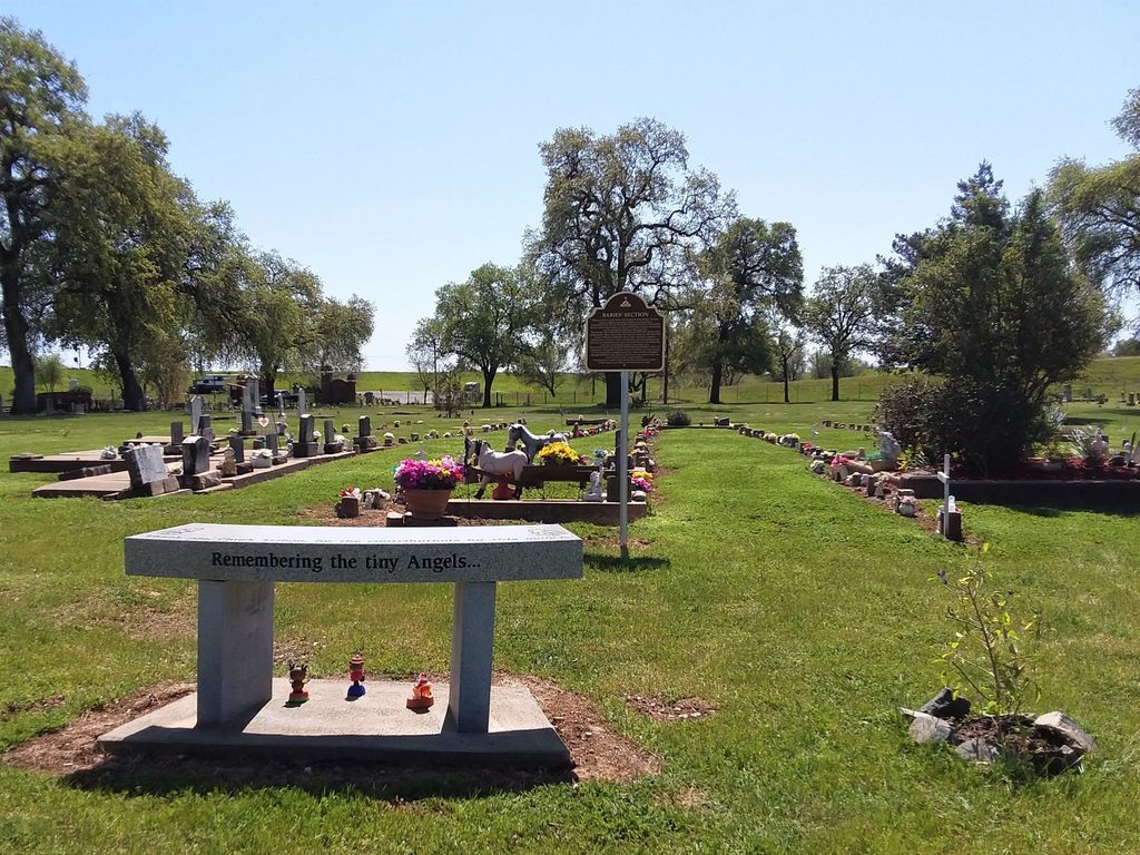
| Description | : | The Historic Marysville City Cemetery, established in 1850 during California’s Gold Rush era, is owned by the City of Marysville. It sits on 14 acres and is reputed to be the oldest city-owned cemetery west of the Mississippi River and the burial place of some 10,000 people. The Cemetery is located north of the city, outside its protective levees in a flood plan, and is a California Point of Historical Interest. It is divided into sections, including the Japanese, Chinese, Masonic, Odd Fellows, Colored (African American), Babies’ and Grand Army of the Republic, and a Potter’s Field... Read More |
frequently asked questions (FAQ):
-
Where is Marysville Cemetery?
Marysville Cemetery is located at Marysville, Yuba County ,California ,USA.
-
Marysville Cemetery cemetery's updated grave count on graveviews.com?
110 memorials
-
Where are the coordinates of the Marysville Cemetery?
Latitude: 39.1621367
Longitude: -121.5889756
Nearby Cemetories:
1. Marysville Jewish Cemetery
Marysville, Yuba County, USA
Coordinate: 39.1615300, -121.5879100
2. Saint Joseph Catholic Cemetery
Marysville, Yuba County, USA
Coordinate: 39.1591310, -121.5908240
3. Sutter-Yuba Memorial Park
Yuba City, Sutter County, USA
Coordinate: 39.1384080, -121.6123760
4. Praise Chapel Mausoleum
Yuba City, Sutter County, USA
Coordinate: 39.1383610, -121.6127890
5. Yuba City Cemetery
Yuba City, Sutter County, USA
Coordinate: 39.1366010, -121.6128270
6. Sierra View Memorial Park
Olivehurst, Yuba County, USA
Coordinate: 39.0872002, -121.5363998
7. Sutter Cemetery
Sutter, Sutter County, USA
Coordinate: 39.1697006, -121.7438965
8. Live Oak Cemetery
Live Oak, Sutter County, USA
Coordinate: 39.2768784, -121.6790924
9. Muslim Cemetery of Northern California
Live Oak, Sutter County, USA
Coordinate: 39.2783620, -121.6799010
10. Browns Valley Cemetery
Browns Valley, Yuba County, USA
Coordinate: 39.2332100, -121.4079400
11. Androus Family Pioneer Cemetery
Iowa City, Yuba County, USA
Coordinate: 39.2936100, -121.4639800
12. Long Bar Cemetery
Brownsville, Yuba County, USA
Coordinate: 39.2234900, -121.3860400
13. Stohlman Cemetery
Sutter County, USA
Coordinate: 39.1516991, -121.8261032
14. Lofton Cemetery
Yuba County, USA
Coordinate: 39.0783005, -121.3696976
15. Pugh Cemetery
Sutter County, USA
Coordinate: 39.2505989, -121.8086014
16. Wheatland Cemetery
Wheatland, Yuba County, USA
Coordinate: 39.0083008, -121.4360962
17. Peoria Memorial Park
Browns Valley, Yuba County, USA
Coordinate: 39.2831001, -121.3891983
18. Honcut Cemetery
Honcut, Butte County, USA
Coordinate: 39.3410988, -121.4781036
19. Vineyard Cemetery
Yuba County, USA
Coordinate: 39.1557900, -121.3281600
20. North Butte Cemetery
Sutter County, USA
Coordinate: 39.2924995, -121.8067017
21. Timbuctoo Cemetery
Smartsville, Yuba County, USA
Coordinate: 39.2159925, -121.3175461
22. Cabbage Patch Cemetery
Waldo Junction, Yuba County, USA
Coordinate: 39.1117300, -121.3066200
23. Hunter Cemetery
Sutter County, USA
Coordinate: 39.0118080, -121.8050590
24. Camp Far West Cemetery
Wheatland, Yuba County, USA
Coordinate: 39.0395500, -121.3431400

