| Memorials | : | 157 |
| Location | : | Washington, District of Columbia, USA |
| Coordinate | : | 38.9111200, -77.0546640 |
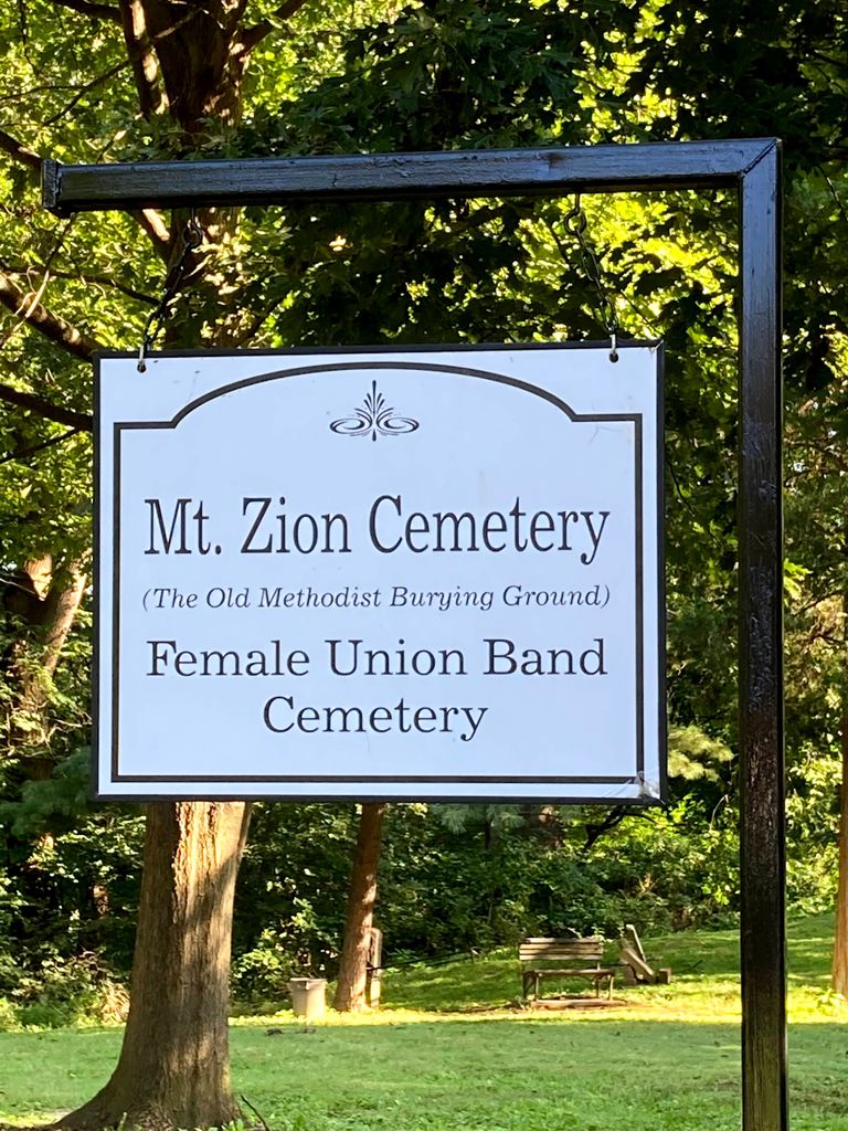
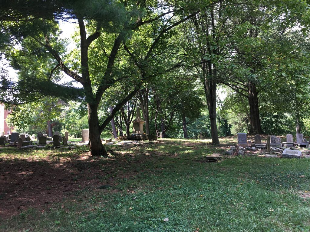
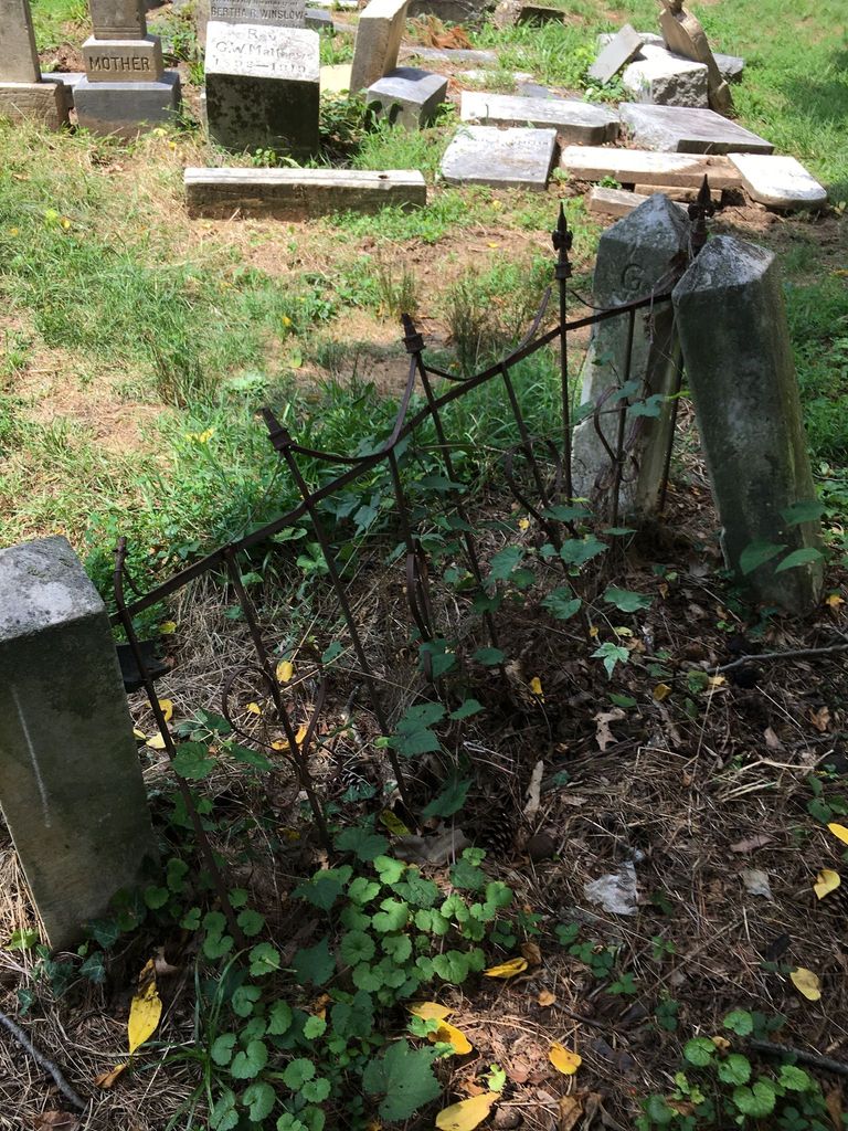
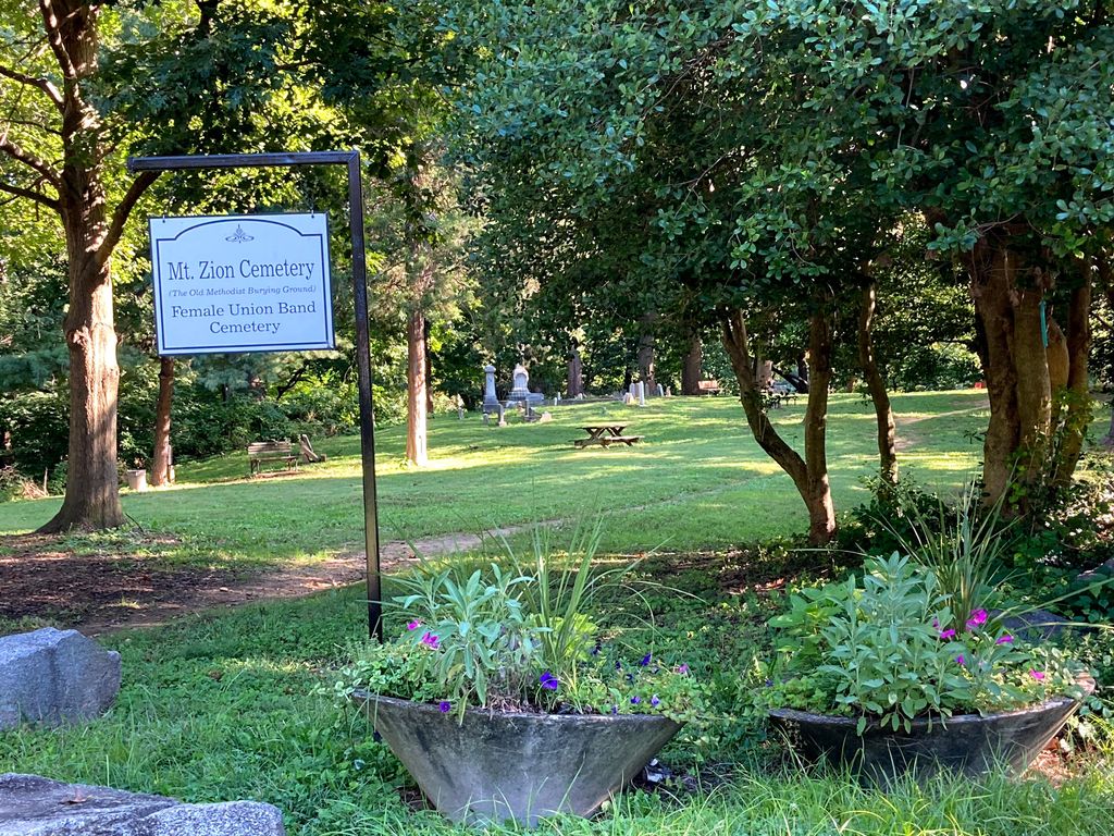
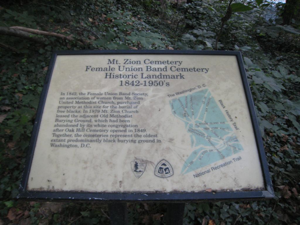
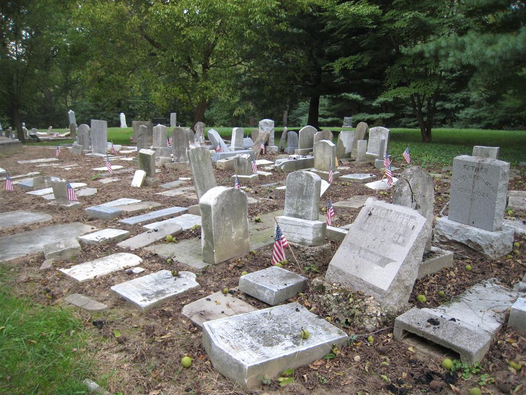
| Description | : | In 1808, the Montgomery Street Church (now called the Dumbarton Avenue United Methodist Church) purchased this property for a cemetery. The cemetery allowed burials of both black and white members, although the cemetery was segregated by race. In 1879, the grounds were leased for 99 years to the Mount Zion Methodist Episcopal Church, a black congregation that split off from the Montgomery Street Church, which resulted in the cemetery becoming the Mount Zion Methodist Cemetery. The Female Union Band Society was formed in 1842 and purchased land adjacent to the Montgomery Street Methodist Church Cemetery. There is no physical demarcation... Read More |
frequently asked questions (FAQ):
-
Where is Mount Zion Cemetery?
Mount Zion Cemetery is located at Mill Road Northwest and 26th Street Northwest Washington, District of Columbia ,District of Columbia , 20007USA.
-
Mount Zion Cemetery cemetery's updated grave count on graveviews.com?
157 memorials
-
Where are the coordinates of the Mount Zion Cemetery?
Latitude: 38.9111200
Longitude: -77.0546640
Nearby Cemetories:
1. Female Union Band Society Cemetery
Washington, District of Columbia, USA
Coordinate: 38.9111940, -77.0540550
2. Oak Hill Cemetery
Washington, District of Columbia, USA
Coordinate: 38.9127998, -77.0567017
3. Kalorama Cemetery (Defunct)
Kalorama, District of Columbia, USA
Coordinate: 38.9130690, -77.0504020
4. Beall Burying Ground
Anacostia, District of Columbia, USA
Coordinate: 38.9070560, -77.0599774
5. Christ Church Georgetown Cemetery
Georgetown, District of Columbia, USA
Coordinate: 38.9083960, -77.0614930
6. Georgetown Presbyterian Church Columbarium
Washington, District of Columbia, USA
Coordinate: 38.9095410, -77.0621590
7. Dumbarton Oaks Gardens
Washington, District of Columbia, USA
Coordinate: 38.9142000, -77.0628400
8. Saint Margarets Episcopal Church Columbarium
Washington, District of Columbia, USA
Coordinate: 38.9150310, -77.0466510
9. Georgetown Lutheran Churchyard
Georgetown, District of Columbia, USA
Coordinate: 38.9099870, -77.0650500
10. Holmeads Cemetery
Washington, District of Columbia, USA
Coordinate: 38.9143982, -77.0444031
11. Saint Johns Episcopal Church Columbarium
Georgetown, District of Columbia, USA
Coordinate: 38.9075200, -77.0649600
12. Saint Pauls Episcopal Church Columbarium
Georgetown, District of Columbia, USA
Coordinate: 38.9023500, -77.0527000
13. Old Presbyterian Cemetery
Georgetown, District of Columbia, USA
Coordinate: 38.9099998, -77.0671997
14. Cathedral of Saint Matthew the Apostle
Washington, District of Columbia, USA
Coordinate: 38.9062520, -77.0402070
15. Holy Trinity Church Cemetery (Defunct)
Georgetown, District of Columbia, USA
Coordinate: 38.9071730, -77.0699850
16. Holy Rood Cemetery
Washington, District of Columbia, USA
Coordinate: 38.9174995, -77.0702972
17. Foundry Methodist Church Columbarium
Washington, District of Columbia, USA
Coordinate: 38.9101240, -77.0369650
18. Georgetown Visitation Monastery Cemetery
Washington, District of Columbia, USA
Coordinate: 38.9094200, -77.0724600
19. Mount Pleasant Plains Cemetery
Woodley Park, District of Columbia, USA
Coordinate: 38.9238520, -77.0458420
20. Holy Trinity Cemetery #2
Georgetown, District of Columbia, USA
Coordinate: 38.9096390, -77.0733730
21. House of the Temple
Washington, District of Columbia, USA
Coordinate: 38.9138000, -77.0359000
22. Georgetown University Jesuit Cemetery
Washington, District of Columbia, USA
Coordinate: 38.9083000, -77.0737200
23. Dahlgren Chapel of the Sacred Heart Crypt
Georgetown, District of Columbia, USA
Coordinate: 38.9072850, -77.0735950
24. Saint Johns Church Cemetery
Washington, District of Columbia, USA
Coordinate: 38.9004440, -77.0362400

