| Memorials | : | 9 |
| Location | : | Morven, Anson County, USA |
| Coordinate | : | 34.8245800, -80.0488600 |
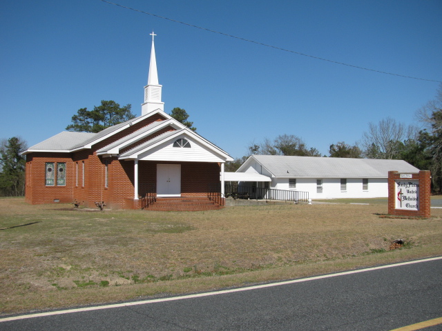
| Description | : | Take Highway 742 south from Wadesboro, N.C. Go about 9 miles to the Cason Old Field intersection at the caution light. Turn left on Cason Old Field Road. Church will be on the left. Cemetery will be on the right about 2 miles down. |
frequently asked questions (FAQ):
-
Where is Sandy Plains United Methodist Church Cemetery?
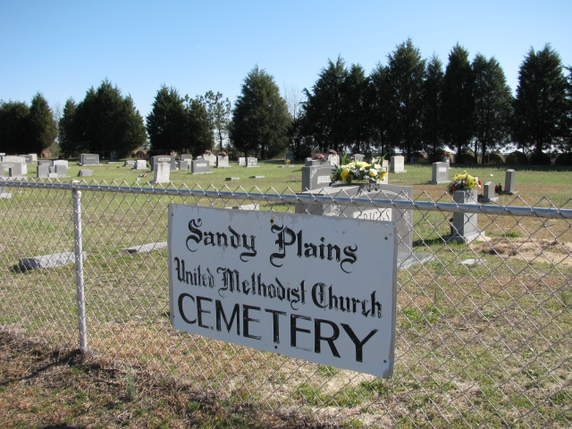
Sandy Plains United Methodist Church Cemetery is located at Morven, Anson County ,North Carolina ,USA.
-
Sandy Plains United Methodist Church Cemetery cemetery's updated grave count on graveviews.com?
8 memorials
-
Where are the coordinates of the Sandy Plains United Methodist Church Cemetery?
Latitude: 34.8245800
Longitude: -80.0488600
Nearby Cemetories:
1. Sandy Ridge Missionary Baptist Church Cemetery
Morven, Anson County, USA
Coordinate: 34.8406570, -80.0453100
2. Burr Cemetery
Cason Old Field, Anson County, USA
Coordinate: 34.8319120, -80.0709340
3. Campbell Family Cemetery
Chesterfield, Chesterfield County, USA
Coordinate: 34.8048360, -80.0441280
4. Pittman Cemetery
Morven, Anson County, USA
Coordinate: 34.8362360, -80.0242320
5. Smith Cemetery
Chesterfield, Chesterfield County, USA
Coordinate: 34.7974840, -80.0480710
6. Griggs Family Cemetery
Chesterfield, Chesterfield County, USA
Coordinate: 34.8042150, -80.0732200
7. McLaurin Cemetery
Morven, Anson County, USA
Coordinate: 34.8363590, -80.0145810
8. Teal Cemetery
Cason Old Field, Anson County, USA
Coordinate: 34.8503075, -80.0794067
9. New Hope United Methodist Church Cemetery
Wadesboro, Anson County, USA
Coordinate: 34.8382390, -80.0943390
10. Stroud Family Cemetery
Chesterfield, Chesterfield County, USA
Coordinate: 34.7919380, -80.0813360
11. Short Family Cemetery
Chesterfield County, USA
Coordinate: 34.7931670, -80.0118550
12. Edwards Cemetery
Cason Old Field, Anson County, USA
Coordinate: 34.8512840, -80.0920486
13. Lebanon Presbyterian Church Cemetery
Morven, Anson County, USA
Coordinate: 34.8645770, -80.0233200
14. Davids Grove Baptist Church Cemetery
Chesterfield, Chesterfield County, USA
Coordinate: 34.7928009, -80.0903015
15. Williams Cemetery
Cason Old Field, Anson County, USA
Coordinate: 34.8237430, -80.1060340
16. Mount Level Baptist Church Cemetery
Chesterfield, Chesterfield County, USA
Coordinate: 34.7990910, -80.0970350
17. Westfield Creek Baptist Church Cemetery
Chesterfield County, USA
Coordinate: 34.7888985, -80.0108032
18. Rickets Cemetery
Wadesboro, Anson County, USA
Coordinate: 34.8186700, -80.1066000
19. Vaughn-Campbell Cemetery
Cason Old Field, Anson County, USA
Coordinate: 34.8187140, -80.1066880
20. Ramah Grove Missionary Baptist Church Cemetery
McFarlan, Anson County, USA
Coordinate: 34.8241437, -79.9897166
21. Dred Cemetery
Chesterfield, Chesterfield County, USA
Coordinate: 34.7821920, -80.0837230
22. Adams Family Cemetery
Chesterfield, Chesterfield County, USA
Coordinate: 34.8073080, -80.1096060
23. Short Cemetery
Cason Old Field, Anson County, USA
Coordinate: 34.8294550, -80.1128950
24. McClain Grove Missionary Baptist Church Cemetery
Cheraw, Chesterfield County, USA
Coordinate: 34.7873270, -80.0011380


