| Memorials | : | 1 |
| Location | : | Auburn, Lincoln County, USA |
| Coordinate | : | 31.3598995, -90.6074371 |
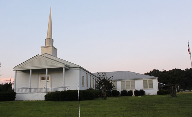
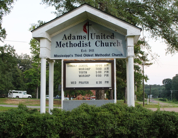
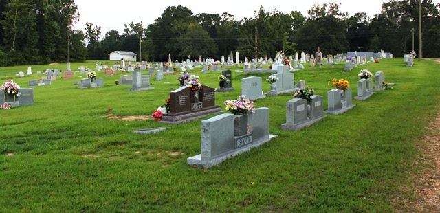
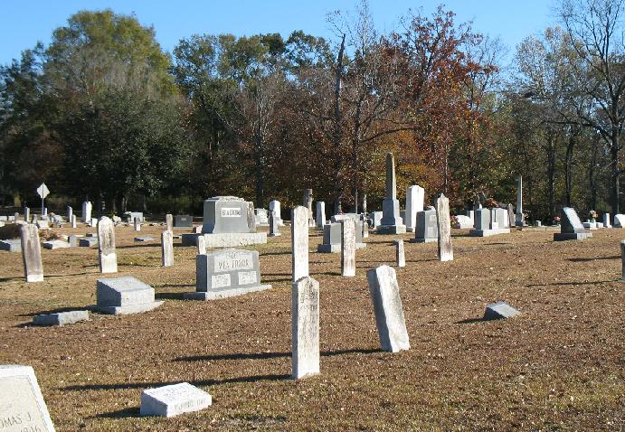
| Description | : | This cemetery is located on Old Jackson - Liberty Road also known as the Old Jackson Wire Road. Adams Church, was formerly known as Adams Campground. It was organized in 1811 by a group of South Carolinians who came to Amite County, Mississippi, between the years 1809 and 1812. In 1815, the 3rd Mississippi Methodist Conference was held at Adams Church. In March of 1936, the historical event was commemorated by placing a marker by the Mississippi Conference Historical Society. This marker was donated by Dr. Henry Flowers and Dr. Lloyd Decell. Dr. Flowers was a... Read More |
frequently asked questions (FAQ):
-
Where is Adams United Methodist Church Cemetery?
Adams United Methodist Church Cemetery is located at Jackson Liberty Road Auburn, Lincoln County ,Mississippi ,USA.
-
Adams United Methodist Church Cemetery cemetery's updated grave count on graveviews.com?
1 memorials
-
Where are the coordinates of the Adams United Methodist Church Cemetery?
Latitude: 31.3598995
Longitude: -90.6074371
Nearby Cemetories:
1. Pleasant Grove Church Cemetery
Auburn, Lincoln County, USA
Coordinate: 31.3588300, -90.6234700
2. Wroten Family Cemetery
Auburn, Lincoln County, USA
Coordinate: 31.4062100, -90.6003400
3. Matthews-Allred Cemetery
Little Springs, Franklin County, USA
Coordinate: 31.3562600, -90.6624800
4. Coward Family Cemetery
Lincoln County, USA
Coordinate: 31.4073160, -90.6160400
5. Flowers Cemetery
Amite County, USA
Coordinate: 31.3171997, -90.6418991
6. Gerald Cemetery
Amite County, USA
Coordinate: 31.3131008, -90.6382980
7. Mount Gilead Primitive Baptist Church Cemetery
Franklin County, USA
Coordinate: 31.4032993, -90.6521988
8. Fenn Cemetery
Amite County, USA
Coordinate: 31.3061008, -90.6361008
9. Garner Cemetery
Amite County, USA
Coordinate: 31.2956009, -90.6085968
10. Lumpkin Cemetery
Franklin, Franklin County, USA
Coordinate: 31.3533001, -90.6900024
11. Center Point Cemetery
Franklin County, USA
Coordinate: 31.4272003, -90.6335983
12. Arlington Baptist Church Cemetery
Bogue Chitto, Lincoln County, USA
Coordinate: 31.4186096, -90.5565491
13. Davis Cemetery
Franklin County, USA
Coordinate: 31.3996220, -90.6806990
14. Davis Cemetery
Franklin County, USA
Coordinate: 31.3992004, -90.6813965
15. James I Cain Cemetery
Franklin County, USA
Coordinate: 31.3814200, -90.6927600
16. Middleton Moak Cemetery
Lincoln County, USA
Coordinate: 31.4103730, -90.5398420
17. Coward Cemetery
McCall Creek, Franklin County, USA
Coordinate: 31.4329500, -90.6419000
18. Nettles Cemetery
Little Springs, Franklin County, USA
Coordinate: 31.3617800, -90.7005700
19. Concord Baptist Church Cemetery
Franklin County, USA
Coordinate: 31.4269009, -90.6656036
20. Holmes Cemetery
Pike County, USA
Coordinate: 31.2947006, -90.5457993
21. Moak and Sasser Cemetery
Brookhaven, Lincoln County, USA
Coordinate: 31.4206009, -90.5382996
22. Oak Grove Cemetery
Franklin County, USA
Coordinate: 31.3601900, -90.7067500
23. Jones Cemetery
Franklin County, USA
Coordinate: 31.3854500, -90.7023600
24. Montgomery Baptist Church Cemetery
Bogue Chitto, Lincoln County, USA
Coordinate: 31.3747005, -90.5093994


