| Memorials | : | 0 |
| Location | : | Tidaholms kommun, Sweden |
| Phone | : | +46(502)19770 |
| Website | : | www.svenskakyrkan.se/tidaholm |
| Coordinate | : | 58.1804900, 13.9622660 |
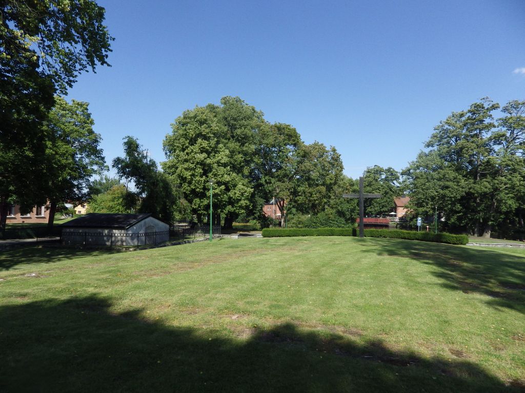
| Description | : | Agnetorp's old church In this place was formerly Agnetorp's old church, a medieval church on the northern shore of Tidan. The church was demolished in 1840 in connection with the construction of Tidaholm's church. The ruin of the old church was excavated and examined in 1953. The outer walls were then marked with limestone slabs. The oldest stone church was probably built during the Romanesque period in the 12th century and had a rectangular nave with narrower chancel. Towards the end of the Middle Ages, a nave was probably erected outside the church entrance in the southwest. In 1753 the church was... Read More |
frequently asked questions (FAQ):
-
Where is Agnetorp Old Cemetery?
Agnetorp Old Cemetery is located at Tidaholm Kyrkans Hus Norra Kungsvägen Tidaholms kommun ,Västra Götalands län , 52222Sweden.
-
Agnetorp Old Cemetery cemetery's updated grave count on graveviews.com?
0 memorials
-
Where are the coordinates of the Agnetorp Old Cemetery?
Latitude: 58.1804900
Longitude: 13.9622660
Nearby Cemetories:
1. Gamla kyrkogård
Tidaholm, Tidaholms kommun, Sweden
Coordinate: 58.1810750, 13.9598930
2. Norra kyrkogård
Tidaholm, Tidaholms kommun, Sweden
Coordinate: 58.1923550, 13.9668530
3. Fröjereds kyrkogård
Frojered, Tidaholms kommun, Sweden
Coordinate: 58.2459565, 14.0173561
4. Harja
Harja, Tidaholms kommun, Sweden
Coordinate: 58.0743170, 13.9163200
5. Tiarps gamla kyrkogård
Falköpings kommun, Sweden
Coordinate: 58.2037550, 13.7375670
6. Södra Fågelås Kyrkogård
Sodra Fagelas, Hjo kommun, Sweden
Coordinate: 58.2007090, 14.2092860
7. Brandstorp kyrka
Brandstorp, Habo kommun, Sweden
Coordinate: 58.1010118, 14.1857480
8. Sjogerstad kyrkogård
Sjogerstad, Skövde kommun, Sweden
Coordinate: 58.3191370, 13.8019180
9. Brunnhems ödekyrkogård
Brunnhem, Falköpings kommun, Sweden
Coordinate: 58.2713770, 13.6962660
10. Segerstads kyrkogård
Falköpings kommun, Sweden
Coordinate: 58.2589130, 13.6673760
11. Norra Fågelås Kyrkogård
Hjo, Hjo kommun, Sweden
Coordinate: 58.2670980, 14.2662030
12. Häggums kyrkogård
Häggum, Skövde kommun, Sweden
Coordinate: 58.3212950, 13.7231800
13. Fredstorps begravningsplats
Mofalla, Hjo kommun, Sweden
Coordinate: 58.3427670, 14.1695950
14. Vartofta-Åsaka kyrkogård
Vartofta, Falköpings kommun, Sweden
Coordinate: 58.0642300, 13.6635760
15. Friggeråkers kyrkogård
Friggeraker, Falköpings kommun, Sweden
Coordinate: 58.1973130, 13.5780980
16. Sandhem Kyrkogård
Sandhem, Falköpings kommun, Sweden
Coordinate: 57.9941720, 13.7860390
17. Hjo kyrka
Hjo, Hjo kommun, Sweden
Coordinate: 58.3018423, 14.2879376
18. Våmbs kyrkogård
Vamb, Skövde kommun, Sweden
Coordinate: 58.3823220, 13.8141170
19. Sankta Helena kyrka
Skövde, Skövde kommun, Sweden
Coordinate: 58.3891070, 13.8471540
20. Sankt Olofs kyrkogård
Falköping, Falköpings kommun, Sweden
Coordinate: 58.1567431, 13.5483507
21. Saint Elins Kyrkogård
Skövde, Skövde kommun, Sweden
Coordinate: 58.3937400, 13.8436450
22. Gudhems klosterruin
Falköping, Falköpings kommun, Sweden
Coordinate: 58.2400750, 13.5550400
23. Gudhems Kyrka
Falköping, Falköpings kommun, Sweden
Coordinate: 58.2399670, 13.5549000
24. Gustav Adolfs kyrkogård
Gustav Adolf, Habo kommun, Sweden
Coordinate: 57.9605920, 14.0586900

