| Memorials | : | 1209 |
| Location | : | Denver, Denver County, USA |
| Phone | : | 303-831-7115 |
| Website | : | www.sjcathedral.org/ |
| Coordinate | : | 39.7380600, -104.9780000 |
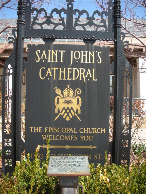
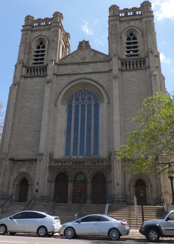
| Description | : | All Souls' Walk lies on the east side of the Cathedral and is a pavement of unmarked granite stones, below which are small individual crypts into which cremated remains are placed. Bronze tablets border the Walk and are engraved with the names of each person interred. Space in the Walk is finite, and so crypts are usually made available specifically for members of the Saint John's Cathedral's community, and for priests from within the Diocese of Colorado. |
frequently asked questions (FAQ):
-
Where is All Souls Walk at Saint Johns Cathedral?
All Souls Walk at Saint Johns Cathedral is located at 1350 Washington Street Denver, Denver County ,Colorado , 80203USA.
-
All Souls Walk at Saint Johns Cathedral cemetery's updated grave count on graveviews.com?
1209 memorials
-
Where are the coordinates of the All Souls Walk at Saint Johns Cathedral?
Latitude: 39.7380600
Longitude: -104.9780000
Nearby Cemetories:
1. Cathedral Basilica of the Immaculate Conception
Denver, Denver County, USA
Coordinate: 39.7405070, -104.9819330
2. Saint Paul Lutheran Church Columbarium
Denver, Denver County, USA
Coordinate: 39.7419000, -104.9834500
3. Old Denver City Cemetery
Denver, Denver County, USA
Coordinate: 39.7327780, -104.9658330
4. First Mennonite Church Memorial Garden
Denver, Denver County, USA
Coordinate: 39.7302000, -104.9933000
5. Mount Calvary Cemetery
Denver, Denver County, USA
Coordinate: 39.7319750, -104.9612730
6. Polar Bear Velox Memorial
Denver, Denver County, USA
Coordinate: 39.7502600, -104.9489000
7. Auraria Cemetery
Denver County, USA
Coordinate: 39.7526500, -105.0096400
8. Acacia Cemetery (Defunct)
Denver, Denver County, USA
Coordinate: 39.7603680, -105.0138070
9. Saint Thomas Episcopal Columbarium
Denver, Denver County, USA
Coordinate: 39.7494500, -104.9329900
10. Montview Garden Columbarium
Denver, Denver County, USA
Coordinate: 39.7466800, -104.9311900
11. Park Hill United Methodist Church Columbarium
Denver, Denver County, USA
Coordinate: 39.7477940, -104.9265280
12. Augustana Lutheran Church Memorial Garden
Denver, Denver County, USA
Coordinate: 39.7103800, -104.9294400
13. Kirk of Bonnie Brae Memorial Garden
Denver, Denver County, USA
Coordinate: 39.6945000, -104.9504000
14. Richthofen Memorial
Denver County, USA
Coordinate: 39.7352000, -104.9063000
15. Saint Lukes Episcopal Church Columbarium
Denver, Denver County, USA
Coordinate: 39.7369200, -104.9044000
16. Riverside Cemetery
Denver, Denver County, USA
Coordinate: 39.7936200, -104.9605600
17. University Park United Methodist Church Columbariu
Denver, Denver County, USA
Coordinate: 39.6771100, -104.9585500
18. Fairmount Cemetery
Denver, Denver County, USA
Coordinate: 39.7086800, -104.9027400
19. Saint Marys Church Columbarium
Denver, Denver County, USA
Coordinate: 39.6749800, -104.9549700
20. Congregation Emanuel Cemetery
Denver, Denver County, USA
Coordinate: 39.7054900, -104.9025800
21. Christ Episcopal Church Columbarium
Denver, Denver County, USA
Coordinate: 39.6636000, -104.9593000
22. Grace United Methodist Church Columbarium
Denver, Denver County, USA
Coordinate: 39.6677340, -104.9298610
23. Wellshire Memorial Gardens
Denver, Denver County, USA
Coordinate: 39.6634500, -104.9415300
24. Sisters of Loretto Convent Cemetery
Denver County, USA
Coordinate: 39.6644000, -105.0296000


