
| Memorials | : | 0 |
| Location | : | Allemans, Clearfield County, USA |
| Coordinate | : | 40.7298000, -78.4077000 |
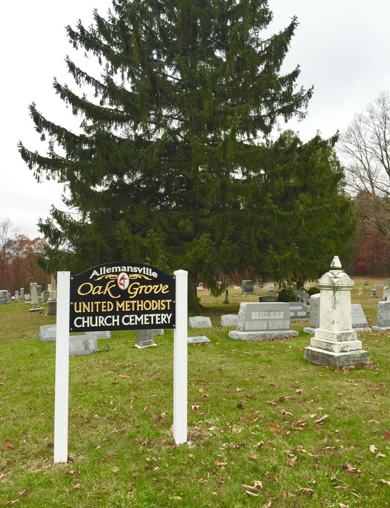
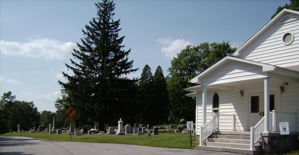
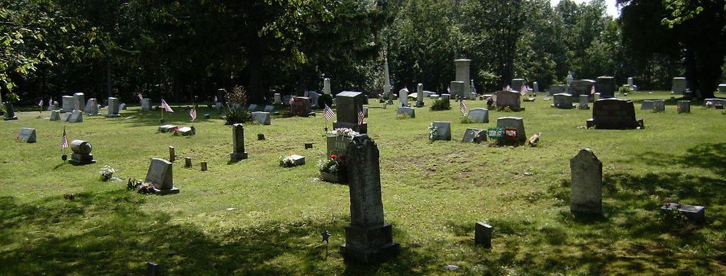
| Description | : | Allemansville Cemetery (AKA Oak Grove Cemetery). Cemetery is owned by the Allemansville Oak Grove Methodist Church. The cemetery is about 3 miles from the small town of Janesville, Clearfield County, PA and is located in a heavily wooded rural area. Roads leading to the cemetery are paved. |
frequently asked questions (FAQ):
-
Where is Allemansville Cemetery?
Allemansville Cemetery is located at 978 Plank Road Allemans, Clearfield County ,Pennsylvania ,USA.
-
Allemansville Cemetery cemetery's updated grave count on graveviews.com?
0 memorials
-
Where are the coordinates of the Allemansville Cemetery?
Latitude: 40.7298000
Longitude: -78.4077000
Nearby Cemetories:
1. Criswell Cemetery
Clearfield County, USA
Coordinate: 40.7378006, -78.4024963
2. Cambria Mills Cemetery
Glasgow, Cambria County, USA
Coordinate: 40.7136002, -78.4253006
3. Ginter Cemetery
Ginter, Clearfield County, USA
Coordinate: 40.7545750, -78.3935000
4. Faxton Mountain Cemetery
Ramey, Clearfield County, USA
Coordinate: 40.7302200, -78.3708930
5. Fox Family Cemetery
Clearfield County, USA
Coordinate: 40.7302660, -78.3708890
6. Mount Zion Lutheran Cemetery
Glasgow, Cambria County, USA
Coordinate: 40.7118000, -78.4410000
7. Catholic Cemetery
Beccaria, Clearfield County, USA
Coordinate: 40.7618310, -78.4266330
8. Pleasant Hill United Methodist Church Cemetery
Glasgow, Cambria County, USA
Coordinate: 40.7018127, -78.4426651
9. Mount Pleasant Cemetery
Beccaria Township, Clearfield County, USA
Coordinate: 40.7513780, -78.4605910
10. Utahville Cemetery
Coalport, Clearfield County, USA
Coordinate: 40.7409000, -78.4700000
11. Roseland Church Cemetery
Cambria County, USA
Coordinate: 40.7086000, -78.4730000
12. Jacker Burial Ground
Tyrone, Blair County, USA
Coordinate: 40.7268550, -78.3365190
13. Troxell Cemetery
Cambria County, USA
Coordinate: 40.7066689, -78.4774017
14. Holy Trinity Catholic Church Cemetery
Ramey, Clearfield County, USA
Coordinate: 40.7950091, -78.3946276
15. Weld Cemetery
Coalport, Clearfield County, USA
Coordinate: 40.7578011, -78.4910965
16. Crossroads Cemetery
Beccaria, Clearfield County, USA
Coordinate: 40.7839012, -78.4661026
17. Saint Marys Ukrainian Catholic Cemetery
Ramey, Clearfield County, USA
Coordinate: 40.8076000, -78.3981000
18. Saint Vladimirs Ukrainian Orthodox Cemetery
Ramey, Clearfield County, USA
Coordinate: 40.8085000, -78.3997000
19. Beulah Cemetery
Ramey, Clearfield County, USA
Coordinate: 40.8097000, -78.4005966
20. Saint Barbara's Polish National Catholic Cemetery
Ramey, Clearfield County, USA
Coordinate: 40.8122390, -78.3883910
21. Immaculate Conception Cemetery
Madera, Clearfield County, USA
Coordinate: 40.8220910, -78.4269330
22. Bell Cemetery
Clearfield County, USA
Coordinate: 40.7976000, -78.4942000
23. Saint Lawrence Cemetery
Houtzdale, Clearfield County, USA
Coordinate: 40.8223000, -78.3601000
24. Lyleville Cemetery
Lyleville, Clearfield County, USA
Coordinate: 40.7351800, -78.5396500