
| Memorials | : | 2 |
| Location | : | Perry Township, Lawrence County, USA |
| Coordinate | : | 38.5293999, -82.5757980 |
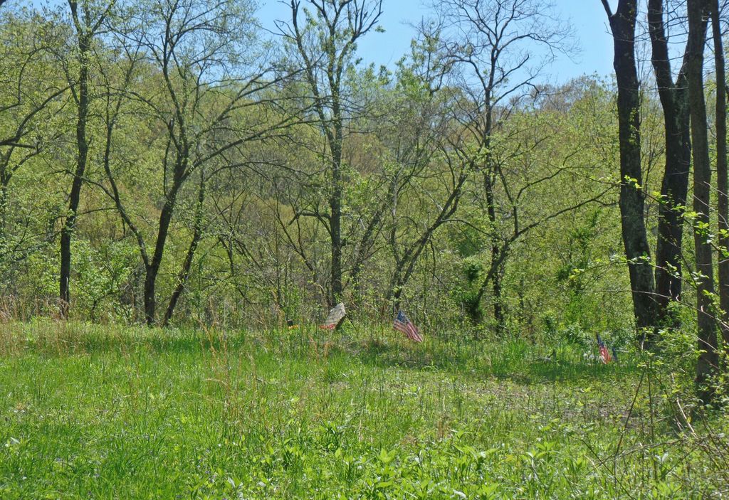
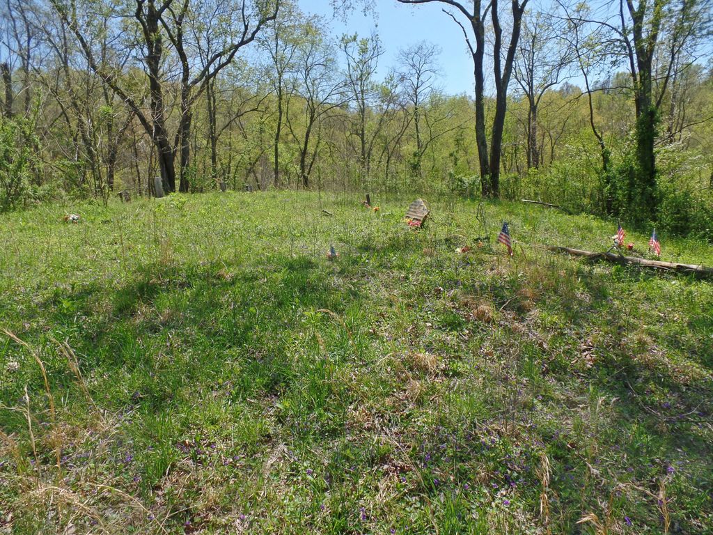
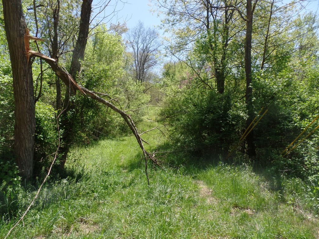
| Description | : | The cemetery is located about 450 feet south of Sugar Creek-Johnstown Road (County Road 52) about 0.7 miles west of its intersection with Deering-Bald Knob Road (County Road 6). The cemetery was established in 1909 and is 0.09 acres in size. The cemetery is located in Perry Township, Lawrence County, Ohio, and is # 6494 (Allen Cemetery #2) in “Ohio Cemeteries 1803-2003”, compiled by the Ohio Genealogical Society. The U.S. Geological Survey (USGS) Geographic Names Information System (GNIS) feature ID for the cemetery is 1075252 (Allen Cemetery). |
frequently asked questions (FAQ):
-
Where is Allen Cemetery?
Allen Cemetery is located at Sugar Creek-Johnstown Road (County Road 52) Perry Township, Lawrence County ,Ohio , 45638USA.
-
Allen Cemetery cemetery's updated grave count on graveviews.com?
2 memorials
-
Where are the coordinates of the Allen Cemetery?
Latitude: 38.5293999
Longitude: -82.5757980
Nearby Cemetories:
1. Fields Cemetery
Perry Township, Lawrence County, USA
Coordinate: 38.5247002, -82.5785980
2. Melvin Cemetery
Perry Township, Lawrence County, USA
Coordinate: 38.5203018, -82.5710983
3. Hackworth Cemetery
Lawrence Township, Lawrence County, USA
Coordinate: 38.5408060, -82.5836320
4. Woods Family Cemetery
Deering, Lawrence County, USA
Coordinate: 38.5172300, -82.5819900
5. Gannon Family Cemetery
Deering, Lawrence County, USA
Coordinate: 38.5145200, -82.5781800
6. Currington Cemetery
Perry Township, Lawrence County, USA
Coordinate: 38.5360985, -82.5567017
7. Mays Cemetery
Lawrence Township, Lawrence County, USA
Coordinate: 38.5399160, -82.5574870
8. Bazell Cemetery
Perry Township, Lawrence County, USA
Coordinate: 38.5321999, -82.5532990
9. Brammer Family Cemetery
Greasy Ridge, Lawrence County, USA
Coordinate: 38.5144440, -82.5586110
10. Brammer Cemetery
Perry Township, Lawrence County, USA
Coordinate: 38.5144005, -82.5586014
11. Keys Cemetery
Perry Township, Lawrence County, USA
Coordinate: 38.5177994, -82.5541992
12. Maynard Family Cemetery
Ironton, Lawrence County, USA
Coordinate: 38.5107960, -82.5582080
13. Allen Cemetery
Perry Township, Lawrence County, USA
Coordinate: 38.5071353, -82.5661099
14. DeFoe Family Cemetery
Rock Camp, Lawrence County, USA
Coordinate: 38.5222480, -82.5458980
15. Ice Creek Cemetery
Perry Township, Lawrence County, USA
Coordinate: 38.5024986, -82.5730972
16. Webb Cemetery
Kitts Hill, Lawrence County, USA
Coordinate: 38.5559900, -82.5659700
17. Webb Cemetery
Rock Camp, Lawrence County, USA
Coordinate: 38.5270300, -82.5359900
18. Kitts Hill Cemetery
Kitts Hill, Lawrence County, USA
Coordinate: 38.5614700, -82.5773800
19. Mamre Cemetery
Kitts Hill, Lawrence County, USA
Coordinate: 38.5623016, -82.5814972
20. Community Cemetery
Deering, Lawrence County, USA
Coordinate: 38.5010250, -82.6005050
21. Leatherwood Cemetery
Getaway, Lawrence County, USA
Coordinate: 38.5214005, -82.5302963
22. Gore Family Cemetery
Dog Fork, Lawrence County, USA
Coordinate: 38.5626670, -82.5528330
23. Maddy Cemetery
Fayette Township, Lawrence County, USA
Coordinate: 38.5005989, -82.5389023
24. Blair Family Cemetery
Lawrence Township, Lawrence County, USA
Coordinate: 38.5694440, -82.5650000