
| Memorials | : | 1 |
| Location | : | Batesville, Independence County, USA |
| Coordinate | : | 35.7275330, -91.6281060 |
frequently asked questions (FAQ):
-
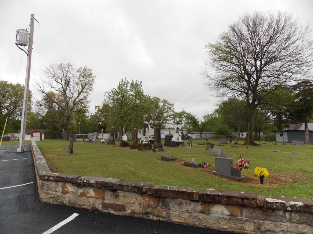
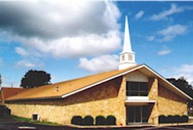
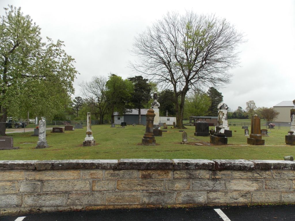
Where is Allen Chapel Freewill Baptist Church Cemetery?
Allen Chapel Freewill Baptist Church Cemetery is located at 629 Allen Chapel Rd Batesville, Independence County ,Arkansas , 72501USA.
-
Allen Chapel Freewill Baptist Church Cemetery cemetery's updated grave count on graveviews.com?
1 memorials
-
Where are the coordinates of the Allen Chapel Freewill Baptist Church Cemetery?
Latitude: 35.7275330
Longitude: -91.6281060
Nearby Cemetories:
1. Egner Cemetery
Salado, Independence County, USA
Coordinate: 35.7083015, -91.6108017
2. Thornsberry A Gray Cemetery
Batesville, Independence County, USA
Coordinate: 35.7639391, -91.6378059
3. Oaklawn Cemetery
Batesville, Independence County, USA
Coordinate: 35.7649994, -91.6350021
4. Pioneer Cemetery
Batesville, Independence County, USA
Coordinate: 35.7706680, -91.6514200
5. Rutherford Family Cemetery
Batesville, Independence County, USA
Coordinate: 35.7361320, -91.5701870
6. Saint Paul Episcopal Church Columbarium
Batesville, Independence County, USA
Coordinate: 35.7718750, -91.6503550
7. Saint Mary's Parish Columbarium
Batesville, Independence County, USA
Coordinate: 35.7678940, -91.5961580
8. Wyatt Cemetery
Desha, Independence County, USA
Coordinate: 35.7363610, -91.6879720
9. Morgan Cemetery
McHue, Independence County, USA
Coordinate: 35.6859000, -91.6620000
10. Alderbrook Cemetery
Desha, Independence County, USA
Coordinate: 35.7372017, -91.6905975
11. Kyler Cemetery
Batesville, Independence County, USA
Coordinate: 35.6741982, -91.6280975
12. Inman Cemetery
Jamestown, Independence County, USA
Coordinate: 35.6878014, -91.6808014
13. New Hope Cemetery
Bethesda, Independence County, USA
Coordinate: 35.7750664, -91.6707764
14. Stark Cemetery
Moorefield, Independence County, USA
Coordinate: 35.7827988, -91.5994034
15. Johnson Cemetery
Independence County, USA
Coordinate: 35.7924995, -91.6583023
16. Rehobeth Cemetery
Moorefield, Independence County, USA
Coordinate: 35.7806560, -91.5717960
17. Independence County Poor Farm
Independence County, USA
Coordinate: 35.7801055, -91.5707189
18. Jamestown Cemetery
Jamestown, Independence County, USA
Coordinate: 35.6982960, -91.7075730
19. Old Ruddell Hill Cemetery
Independence County, USA
Coordinate: 35.7722015, -91.7018967
20. Sanders Cemetery
Moorefield, Independence County, USA
Coordinate: 35.7560997, -91.5402985
21. Mount Zion Cemetery
Batesville, Independence County, USA
Coordinate: 35.8008003, -91.5986023
22. Mack Family Cemetery
Batesville, Independence County, USA
Coordinate: 35.7977676, -91.5819473
23. Ruddell Hill Cemetery
Batesville, Independence County, USA
Coordinate: 35.7921982, -91.6866989
24. Roselawn Memorial Gardens
Batesville, Independence County, USA
Coordinate: 35.8074390, -91.6145550