
| Memorials | : | 30 |
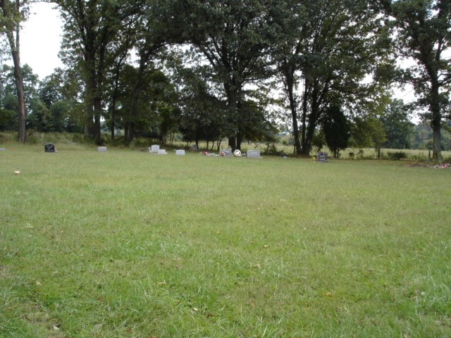
| Location | : | Hart County, USA |
| Coordinate | : | 37.2378230, -85.7793630 |
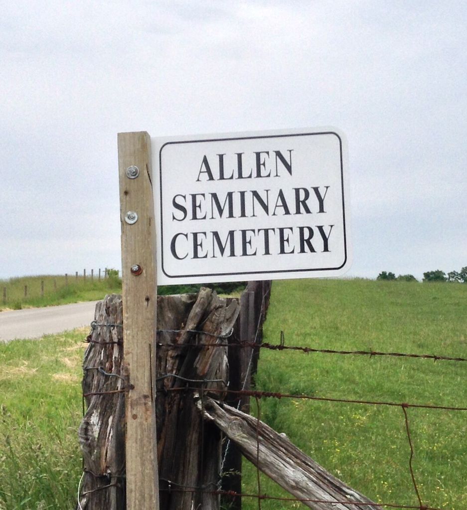
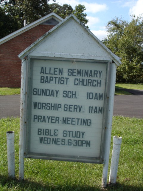
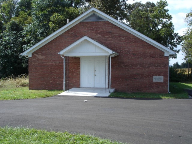
| Description | : | From hwy 31-E in Hardyville, Hart County, Kentucky take hwy 88 East about 1.5 miles to Rex Rd (hwy 570) in a farm field at 998 Rex Rd (hwy 57). The Allen Seminary Church is on out Rex Rd (hwy 570) at 1211 Knob Church Rd. |
frequently asked questions (FAQ):
-
Where is Allen Seminary Baptist Church Cemetery?
Allen Seminary Baptist Church Cemetery is located at Hart County ,Kentucky ,USA.
-
Allen Seminary Baptist Church Cemetery cemetery's updated grave count on graveviews.com?
30 memorials
-
Where are the coordinates of the Allen Seminary Baptist Church Cemetery?
Latitude: 37.2378230
Longitude: -85.7793630
Nearby Cemetories:
1. Burks Cemetery
Hart County, USA
Coordinate: 37.2411370, -85.7808900
2. Bunnell Cemetery
Hart County, USA
Coordinate: 37.2278070, -85.7705500
3. Bunnell Cemetery
Hardyville, Hart County, USA
Coordinate: 37.2576380, -85.7787080
4. Bunnell Family Cemetery
Bunnell Crossing, Hart County, USA
Coordinate: 37.2316440, -85.8048460
5. Pleasant Grove Cemetery
Hardyville, Hart County, USA
Coordinate: 37.2475014, -85.7341995
6. Edmond Riordan Family Cemetery
Canmer, Hart County, USA
Coordinate: 37.2819880, -85.7692220
7. Nunn Cemetery
Hardyville, Hart County, USA
Coordinate: 37.2100090, -85.7283150
8. Pearl Webb Cemetery
Canmer, Hart County, USA
Coordinate: 37.2899400, -85.7708100
9. Gilead Church Cemetery
Canmer, Hart County, USA
Coordinate: 37.2895737, -85.7673645
10. Little Blue Springs Baptist Church Cemetery
Hart County, USA
Coordinate: 37.1861620, -85.7944670
11. Gentry Cemetery
Hardyville, Hart County, USA
Coordinate: 37.1979680, -85.7293920
12. Bush-Wheeler Cemetery
Canmer, Hart County, USA
Coordinate: 37.2926280, -85.7603070
13. Hamilton Cemetery
Hart County, USA
Coordinate: 37.2717018, -85.7205963
14. Hamilton Cemetery
Canmer, Hart County, USA
Coordinate: 37.2720327, -85.7205574
15. Hoffman Cemetery
Hart County, USA
Coordinate: 37.2813988, -85.7275009
16. Cosby United Methodist Church Cemetery
LeGrande, Hart County, USA
Coordinate: 37.1758080, -85.7742660
17. Larimore Cemetery
LeGrande, Hart County, USA
Coordinate: 37.1746160, -85.7786290
18. Garvin Cemetery
Hart County, USA
Coordinate: 37.2896996, -85.7322006
19. Crain Family Cemetery
Horse Cave, Hart County, USA
Coordinate: 37.2116570, -85.8539320
20. Bearwallow Baptist Cemetery
Horse Cave, Hart County, USA
Coordinate: 37.1833630, -85.8282710
21. Weldon Cemetery
Canmer, Hart County, USA
Coordinate: 37.2889410, -85.7247730
22. Watkins Burial Ground
Canmer, Hart County, USA
Coordinate: 37.3033387, -85.7548407
23. Ennies Cemetery
Hart County, USA
Coordinate: 37.1693993, -85.7466965
24. Chaney Cemetery
Center, Metcalfe County, USA
Coordinate: 37.1699280, -85.7403680