
| Memorials | : | 0 |
| Location | : | Gondelsheim, Landkreis Karlsruhe, Germany |
| Coordinate | : | 49.0605000, 8.6622500 |
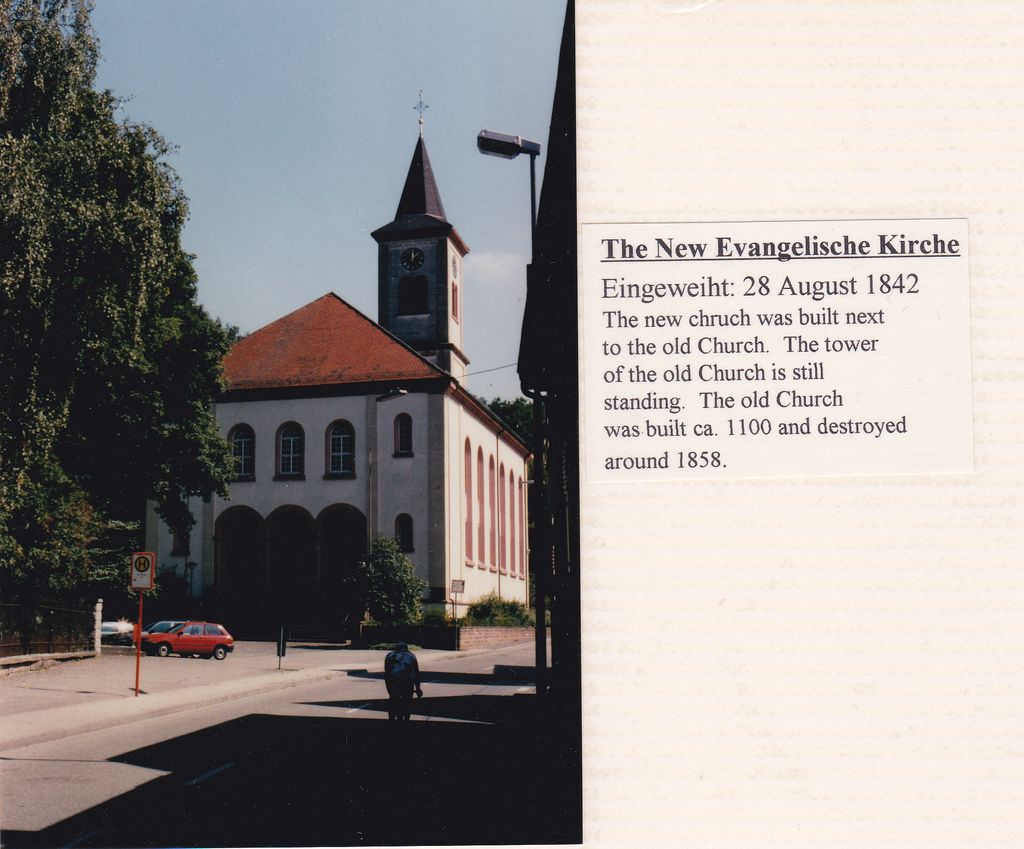
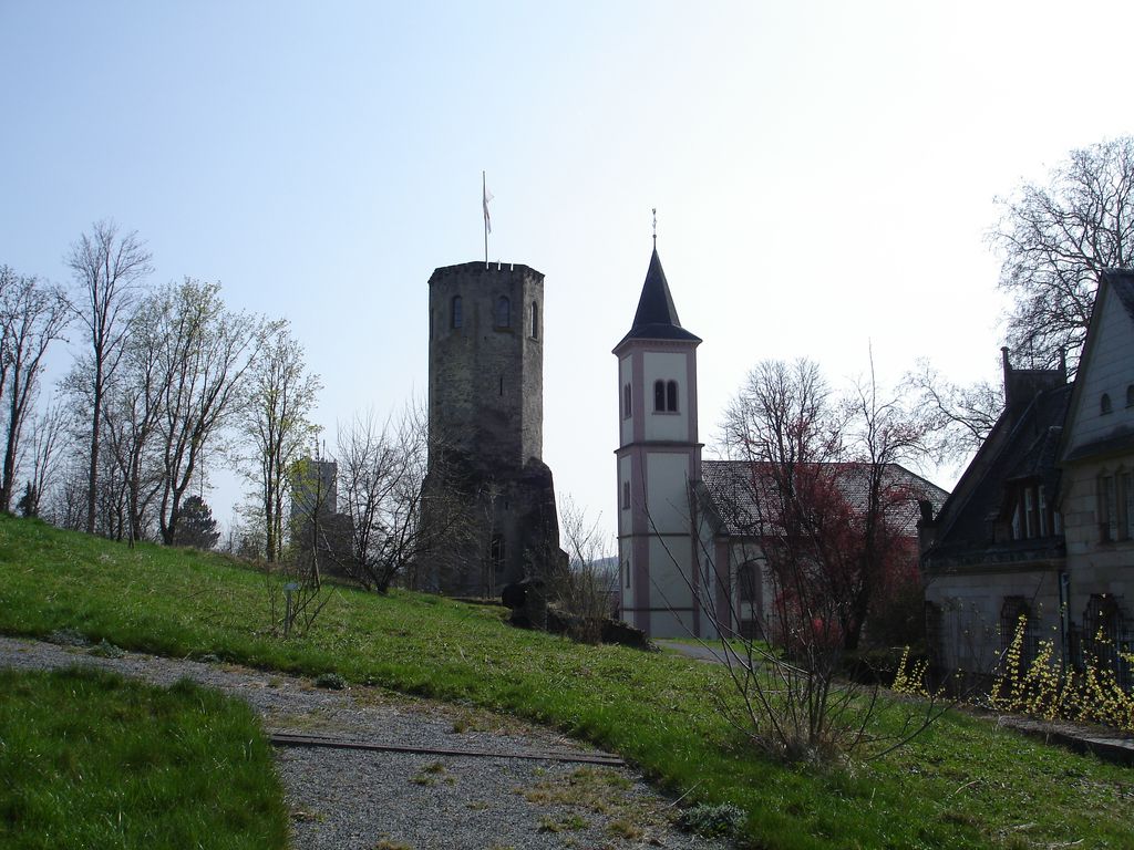
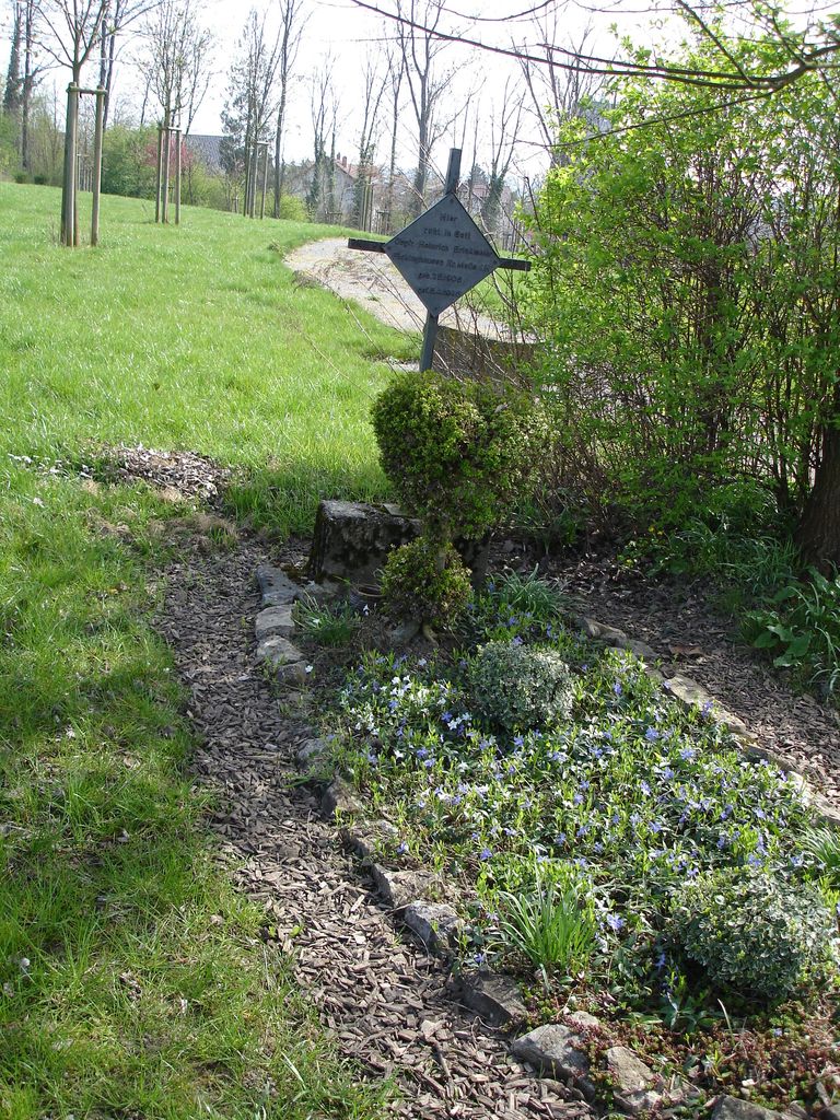
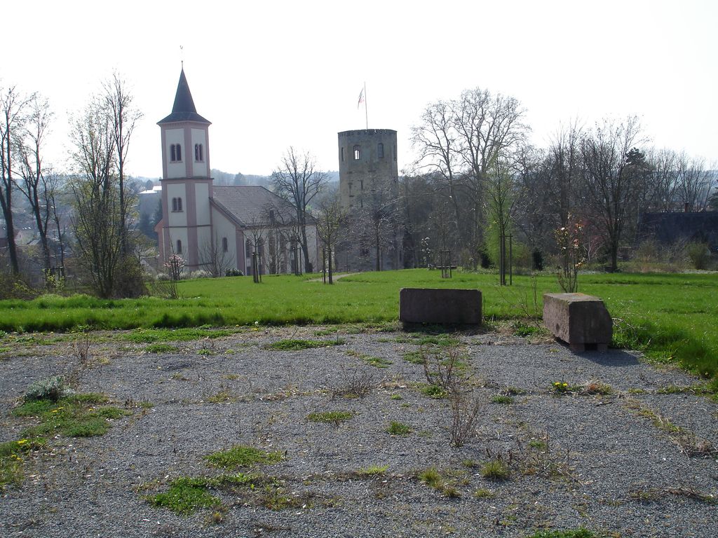
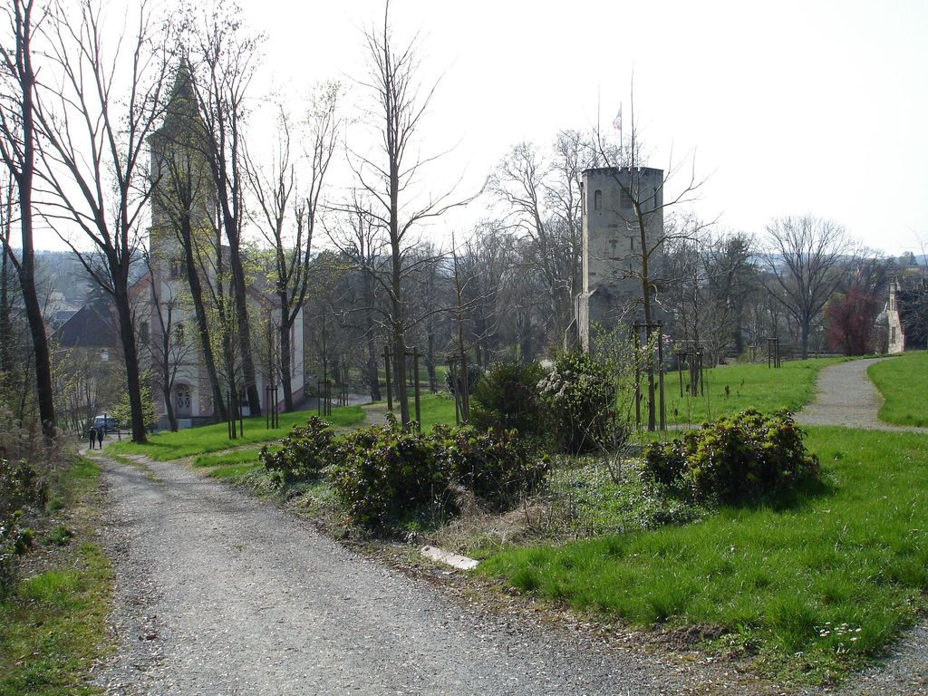
| Description | : | This cemetery was located on a hill behind the Protestant Church that was built 1842 in the town of Gondelsheim, Baden-Wuerttemberg, Germany (close to Bretten, Germany). Next to the church and up the hill a ways is an old tower that once belong to the old middle ages (1102 A.D) church that was partially destroyed in the Thirty Years' War. This old cemetery belonged to the old church and later in time it became the city cemetery. Thomas Fischer and his descendants were buried in this old Cemetery. Also, Josephine Vailant Benz, the mother of the inventor to the first... Read More |
frequently asked questions (FAQ):
-
Where is Alter Friedhof Gondelsheim?
Alter Friedhof Gondelsheim is located at Neibsheimer Str. 10 Gondelsheim, Landkreis Karlsruhe ,Baden-Württemberg , 75053Germany.
-
Alter Friedhof Gondelsheim cemetery's updated grave count on graveviews.com?
0 memorials
-
Where are the coordinates of the Alter Friedhof Gondelsheim?
Latitude: 49.0605000
Longitude: 8.6622500
Nearby Cemetories:
1. Friedhof Neibsheim
Neibsheim, Landkreis Karlsruhe, Germany
Coordinate: 49.0693570, 8.6812419
2. Friedhof Diedelsheim
Diedelsheim, Landkreis Karlsruhe, Germany
Coordinate: 49.0465000, 8.6814000
3. Friedhof Rinklingen
Rinklingen, Landkreis Karlsruhe, Germany
Coordinate: 49.0351940, 8.6793068
4. Friedhof Büchig
Büchig bei Bretten, Landkreis Karlsruhe, Germany
Coordinate: 49.0720000, 8.7100000
5. Friedhof Bretten
Bretten, Landkreis Karlsruhe, Germany
Coordinate: 49.0402000, 8.7109000
6. Jüdischer Friedhof Bretten
Bretten, Landkreis Karlsruhe, Germany
Coordinate: 49.0312000, 8.7082000
7. Friedhof Obergrombach
Obergrombach, Landkreis Karlsruhe, Germany
Coordinate: 49.0791900, 8.5884100
8. Jüdischer Friedhof Obergrombach
Obergrombach, Landkreis Karlsruhe, Germany
Coordinate: 49.0911000, 8.5869000
9. Friedhof Wössingen
Wössingen, Landkreis Karlsruhe, Germany
Coordinate: 49.0126034, 8.6116024
10. Friedhof Oberacker
Kraichtal, Landkreis Karlsruhe, Germany
Coordinate: 49.1086449, 8.7143066
11. Jüdischer Friedhof Jöhlingen
Jöhlingen, Landkreis Karlsruhe, Germany
Coordinate: 49.0187700, 8.5909500
12. Alter Friedhof Jöhlingen
Jöhlingen, Landkreis Karlsruhe, Germany
Coordinate: 49.0306450, 8.5725542
13. Neuer Friedhof Jöhlingen
Jöhlingen, Landkreis Karlsruhe, Germany
Coordinate: 49.0301062, 8.5703410
14. Jüdischer Friedhof Bruchsal
Bruchsal, Landkreis Karlsruhe, Germany
Coordinate: 49.1182000, 8.6019000
15. Friedhof Bruchsal
Bruchsal, Landkreis Karlsruhe, Germany
Coordinate: 49.1191000, 8.6026000
16. Kirche St. Martin Gochsheim
Gochsheim, Landkreis Karlsruhe, Germany
Coordinate: 49.1036400, 8.7475800
17. Friedhof Knittlingen
Knittlingen, Enzkreis, Germany
Coordinate: 49.0276000, 8.7604000
18. Jüdischer Friedhof Flehingen
Flehingen, Landkreis Karlsruhe, Germany
Coordinate: 49.0957000, 8.7589000
19. Friedhof Großvillars
Großvillars, Landkreis Karlsruhe, Germany
Coordinate: 49.0437000, 8.7698000
20. Unteröwisheim Cemetery
Kraichtal, Landkreis Karlsruhe, Germany
Coordinate: 49.1242507, 8.7151452
21. Friedhof Nußbaum
Nußbaum, Enzkreis, Germany
Coordinate: 48.9899900, 8.6937500
22. Friedhof Weingarten
Weingarten, Landkreis Karlsruhe, Germany
Coordinate: 49.0535000, 8.5349000
23. Jüdischer Friedhof Oberöwisheim
Oberöwisheim, Landkreis Karlsruhe, Germany
Coordinate: 49.1423600, 8.6919200
24. Friedhof Sickingen
Sickingen, Landkreis Karlsruhe, Germany
Coordinate: 49.0861000, 8.7886000