
| Memorials | : | 1 |
| Location | : | Makoti, Ward County, USA |
| Coordinate | : | 48.0199410, -101.6152740 |
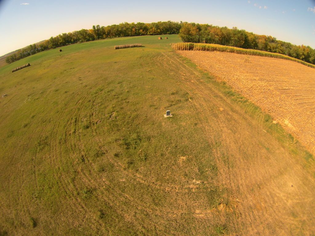
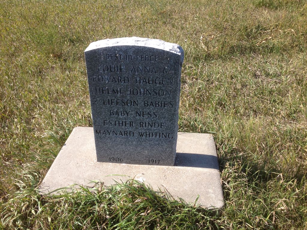
| Description | : | This cemetery is in section 1 of Anna Township in Ward County. A granite plaque has all the buried named. The dates of burial are between 1906-1917. This information from Mouse River Loop Genealogical Society. The original wooden markers were destroyed by a prairie fire years ago but neighbors knew who was there and erected the marker. The cemetery is located about 1/2 mile South of the location shown on the map. |
frequently asked questions (FAQ):
-
Where is Anna Township Cemetery?
Anna Township Cemetery is located at Makoti, Ward County ,North Dakota ,USA.
-
Anna Township Cemetery cemetery's updated grave count on graveviews.com?
1 memorials
-
Where are the coordinates of the Anna Township Cemetery?
Latitude: 48.0199410
Longitude: -101.6152740
Nearby Cemetories:
1. Hiland Cemetery
Ryder, Ward County, USA
Coordinate: 48.0729103, -101.6588669
2. Early Settlers Cemetery
Ward County, USA
Coordinate: 48.0229301, -101.5136490
3. Zion Lutheran Cemetery
South Prairie, Ward County, USA
Coordinate: 48.0524107, -101.5223840
4. Rosehill Cemetery
Ryder, Ward County, USA
Coordinate: 47.9266600, -101.6706500
5. Hope Lutheran Cemetery
Makoti, Ward County, USA
Coordinate: 47.9637070, -101.7867420
6. Saint Elizabeth Catholic Cemetery
Makoti, Ward County, USA
Coordinate: 47.9773600, -101.8074600
7. Fron Lutheran Cemetery
South Prairie, Ward County, USA
Coordinate: 48.0660638, -101.4143014
8. Spring Lake Cemetery
Douglas, Ward County, USA
Coordinate: 47.9283610, -101.4225830
9. Rolling Green Cemetery
Des Lacs, Ward County, USA
Coordinate: 48.1827000, -101.5657000
10. Township Cemetery
Ward County, USA
Coordinate: 48.1847000, -101.5472031
11. Witham Farm Cemetery
Freedom Township, Ward County, USA
Coordinate: 48.0525950, -101.3623800
12. Holy Cross Cemetery
Douglas, Ward County, USA
Coordinate: 47.8622730, -101.4986600
13. Trinity Lutheran Cemetery
Douglas, Ward County, USA
Coordinate: 47.8626200, -101.4973700
14. Rose Valley Cemetery
South Prairie, Ward County, USA
Coordinate: 48.0527000, -101.3554993
15. Douglas City Cemetery
Douglas, Ward County, USA
Coordinate: 47.8610600, -101.4975100
16. Saint Pauls Lutheran Cemetery
Makoti, Ward County, USA
Coordinate: 47.9057560, -101.8191380
17. Drady Cemetery
Minot, Ward County, USA
Coordinate: 48.1538048, -101.4261169
18. Spring Valley Lutheran Cemetery
Ward County, USA
Coordinate: 48.0813000, -101.8785400
19. Saron Lutheran Cemetery
Ward County, USA
Coordinate: 48.0943985, -101.3181000
20. Hiddenwood Cemetery
McLean County, USA
Coordinate: 47.8330994, -101.7743988
21. East Community Cemetery
Plaza, Mountrail County, USA
Coordinate: 48.0243988, -101.9383011
22. Gasman Township Cemetery
South Prairie, Ward County, USA
Coordinate: 47.9795227, -101.2927475
23. First Lutheran Cemetery
Plaza, Mountrail County, USA
Coordinate: 48.0374985, -101.9542007
24. Sacred Heart Cemetery
Plaza, Mountrail County, USA
Coordinate: 48.0139008, -101.9618988