
| Memorials | : | 0 |
| Location | : | Woodville, Greene County, USA |
| Coordinate | : | 33.6979600, -83.0847500 |
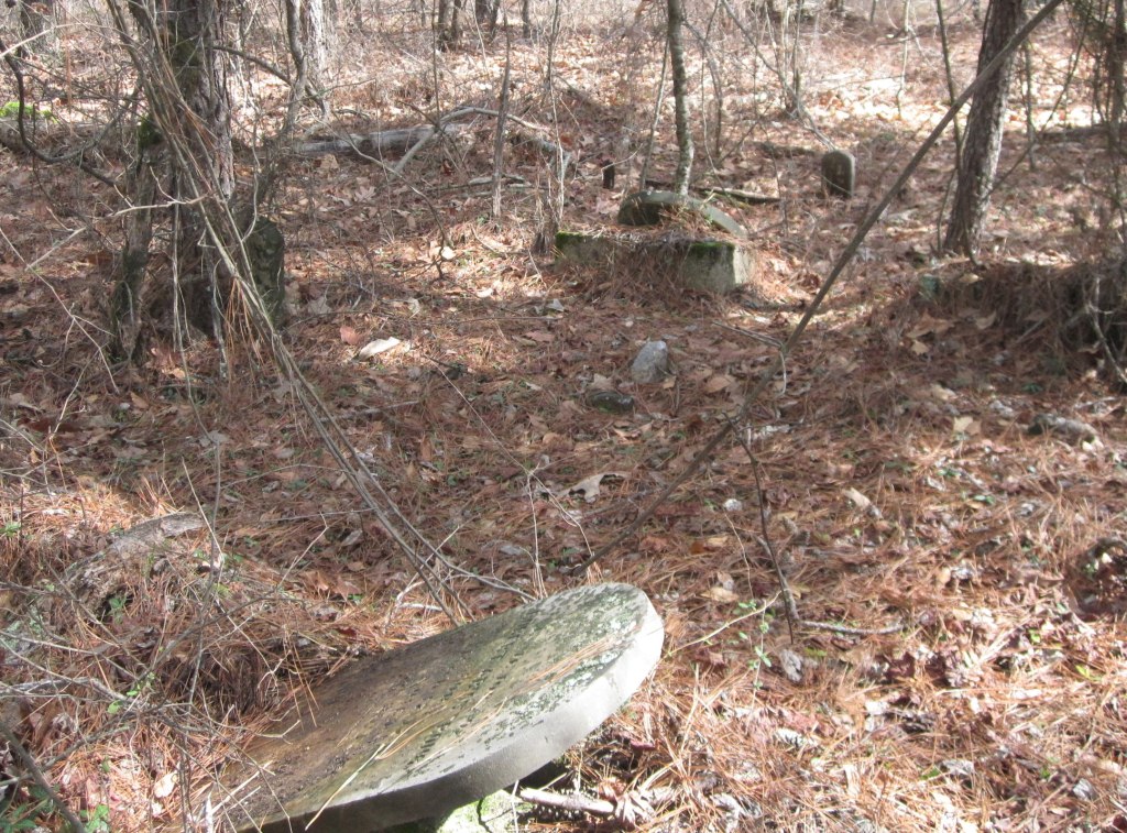
| Description | : | At the intersection of GA-77 and Peachtree Avenue, travel east on East Peachtree for 1.6 miles. At the fork, take a left onto Ham Fork Road. Travel along Ham Fork Road for 1.3 miles turning left onto Bairdstown Road, a dirt road. Travel on Bairdstown Road for .6 miles. The cemetery is due north 180 yards in the woods. As of February 2012, all headstones, markers, and monuments have been photographed. At that time there were, at a minimum, eight unmarked graves. |
frequently asked questions (FAQ):
-
Where is Armstrong Family Cemetery?
Armstrong Family Cemetery is located at Woodville, Greene County ,Georgia ,USA.
-
Armstrong Family Cemetery cemetery's updated grave count on graveviews.com?
0 memorials
-
Where are the coordinates of the Armstrong Family Cemetery?
Latitude: 33.6979600
Longitude: -83.0847500
Nearby Cemetories:
1. Saint Paul Baptist Church Cemetery
Woodville, Greene County, USA
Coordinate: 33.6806290, -83.1122050
2. Woodville Cemetery
Woodville, Greene County, USA
Coordinate: 33.6699600, -83.0987200
3. Bowles Durham Cemetery
Durham Town, Greene County, USA
Coordinate: 33.6770668, -83.0479736
4. Geer Family Cemetery
Penfield, Greene County, USA
Coordinate: 33.6890910, -83.1520420
5. Randolph Baptist Church Cemetery
Union Point, Greene County, USA
Coordinate: 33.6812369, -83.0134838
6. Siloam Missionary Baptist Church Cemetery
Union Point, Greene County, USA
Coordinate: 33.6232930, -83.0779150
7. Penfield Cemetery
Penfield, Greene County, USA
Coordinate: 33.6733810, -83.1731880
8. Bethesda Cemetery
Union Point, Greene County, USA
Coordinate: 33.6516991, -83.0093994
9. Greenlawn Cemetery
Union Point, Greene County, USA
Coordinate: 33.6213989, -83.0646973
10. Tuggle Cemetery
Greene County, USA
Coordinate: 33.6455994, -83.0141983
11. Wisteria Cemetery
Union Point, Greene County, USA
Coordinate: 33.6192017, -83.0744019
12. Penfield Cemetery
Penfield, Greene County, USA
Coordinate: 33.6672211, -83.1774979
13. Sanders Chapel Baptist Church Cemetery
Penfield, Greene County, USA
Coordinate: 33.6619260, -83.1808220
14. Bethel Baptist Church Cemetery
Union Point, Greene County, USA
Coordinate: 33.6029050, -83.0974370
15. Boswell Chapel Baptist Church Cemetery
Greensboro, Greene County, USA
Coordinate: 33.6294400, -83.1679900
16. Shiloh Baptist Church Cemetery
Penfield, Greene County, USA
Coordinate: 33.6585999, -83.1941986
17. Macedonia Church Cemetery
Greensboro, Greene County, USA
Coordinate: 33.6042939, -83.1354325
18. Falling Creek Methodist Church
Union Point, Greene County, USA
Coordinate: 33.7527780, -83.1911110
19. Brown Chapel Church Cemetery
Union Point, Greene County, USA
Coordinate: 33.6101284, -83.0093169
20. Janes Cemetery
Greene County, USA
Coordinate: 33.6977997, -83.2155991
21. Mount Pleasant Baptist Church Cemetery
Union Point, Greene County, USA
Coordinate: 33.5719340, -83.0356690
22. McJunkin Family Cemetery
Greene County, USA
Coordinate: 33.5635820, -83.0838950
23. Mount Zion Baptist Church Cemetery
Greensboro, Greene County, USA
Coordinate: 33.6594444, -83.2397222
24. Macedonia Cemetery
Greensboro, Greene County, USA
Coordinate: 33.7303870, -83.2424400