| Memorials | : | 3 |
| Location | : | Cambridge, City of Cambridge, England |
| Coordinate | : | 52.2174070, 0.0999260 |
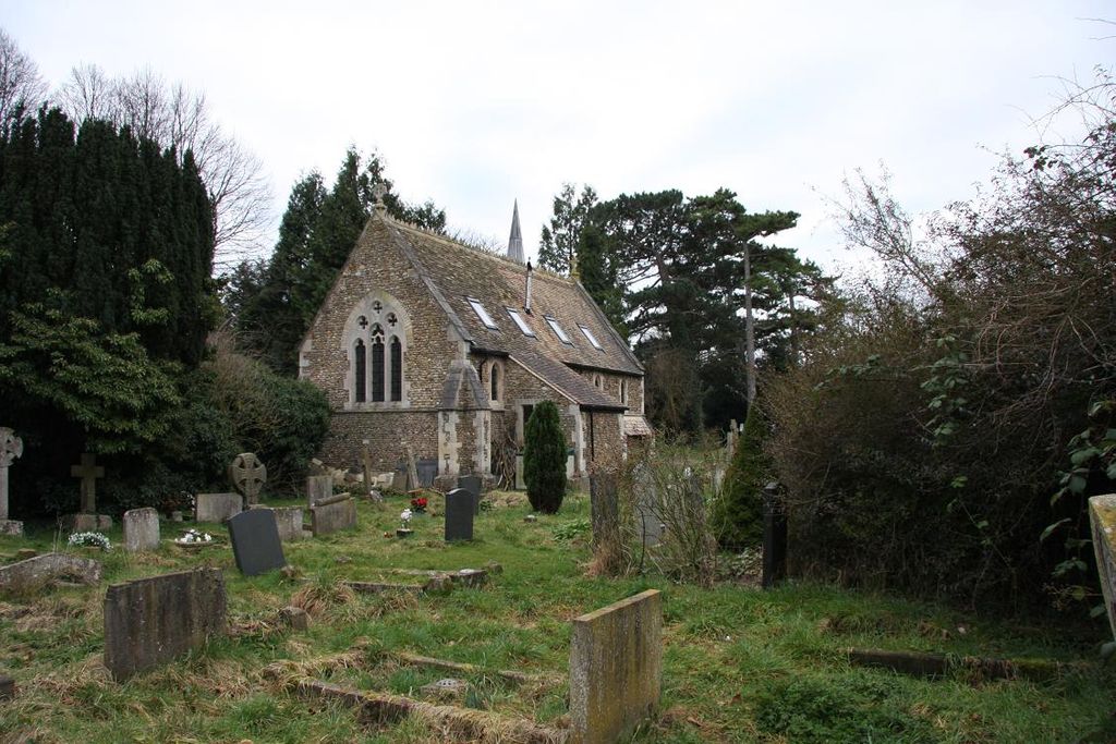
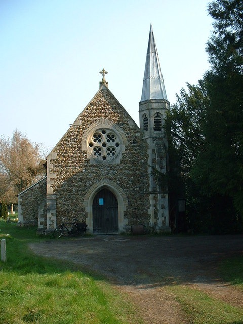
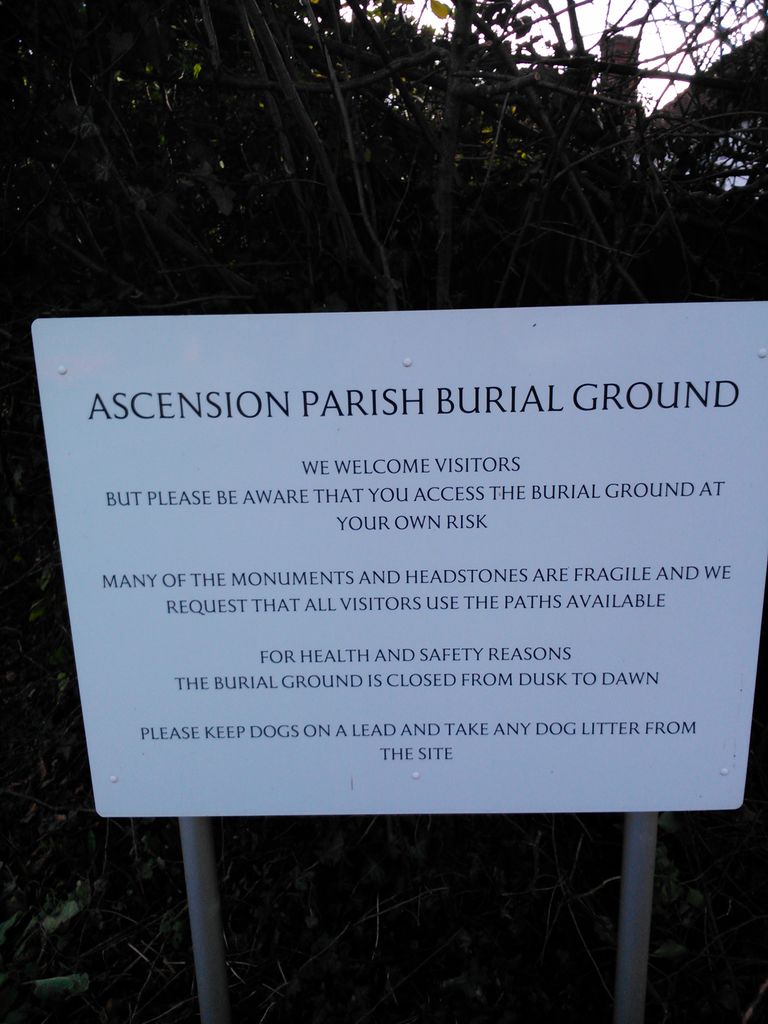
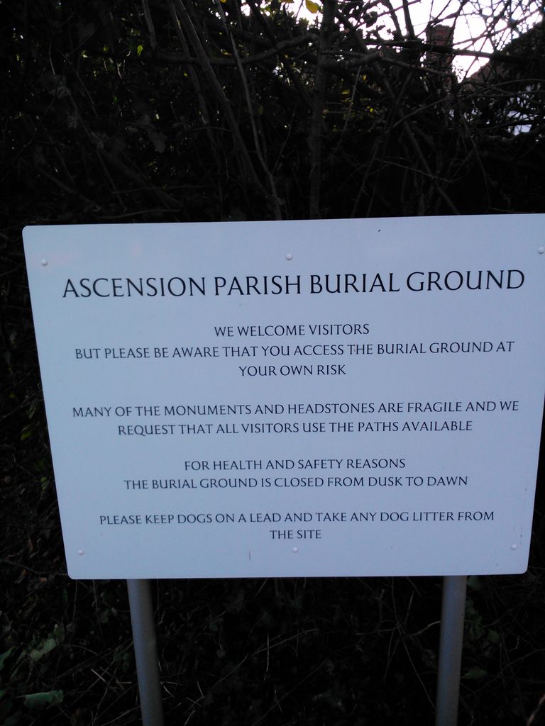
| Description | : | The church of St Giles and St Peter stands at the junction of Castle Street/Castle Hill with Chesterton Road, but the Ascension Parish Burial Ground,[a church cemetery created when the churchyard became closed to further interments], is off the Huntingdon Road near the junction with Storey's Way in the northwest of Cambridge. It includes the graves of many Cambridge academics and non-conformists of the 19th and early 20th century. A small chapel was also built on the grounds. The one and a half acres of the burial ground were established in 1857, the first burial being in 1869. Today... Read More |
frequently asked questions (FAQ):
-
Where is Ascension Parish Burial Ground?
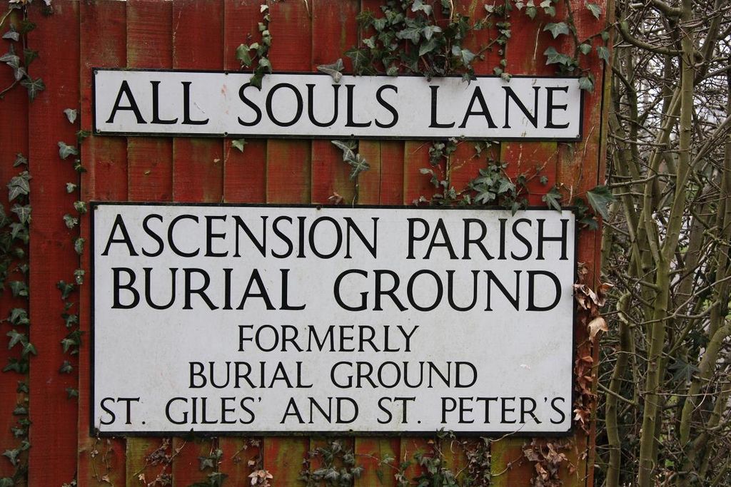
Ascension Parish Burial Ground is located at All Souls Lane, Huntingdon Road Cambridge, City of Cambridge ,Cambridgeshire , CB3 0EAEngland.
-
Ascension Parish Burial Ground cemetery's updated grave count on graveviews.com?
3 memorials
-
Where are the coordinates of the Ascension Parish Burial Ground?
Latitude: 52.2174070
Longitude: 0.0999260
Nearby Cemetories:
1. Histon Road Cemetery
Cambridge, City of Cambridge, England
Coordinate: 52.2160480, 0.1126310
2. St Luke's Church
Cambridge, City of Cambridge, England
Coordinate: 52.2157779, 0.1164151
3. St Giles with St Peter Churchyard
Cambridge, City of Cambridge, England
Coordinate: 52.2110650, 0.1138330
4. St Clement's Churchyard
Cambridge, City of Cambridge, England
Coordinate: 52.2090800, 0.1178940
5. St Johns College
Cambridge, City of Cambridge, England
Coordinate: 52.2083270, 0.1169260
6. Holy Sepulchre
Cambridge, City of Cambridge, England
Coordinate: 52.2084330, 0.1190030
7. Trinity College
Cambridge, City of Cambridge, England
Coordinate: 52.2069440, 0.1169440
8. Gonville and Caius College
Cambridge, City of Cambridge, England
Coordinate: 52.2059420, 0.1175860
9. St Michael's Churchyard
Cambridge, City of Cambridge, England
Coordinate: 52.2060170, 0.1181410
10. Sidney Sussex College
Cambridge, City of Cambridge, England
Coordinate: 52.2072330, 0.1202440
11. Kings College Chapel
Cambridge, City of Cambridge, England
Coordinate: 52.2047670, 0.1165080
12. St Mary the Great Churchyard
Cambridge, City of Cambridge, England
Coordinate: 52.2052800, 0.1180690
13. Holy Trinity Church
Cambridge, City of Cambridge, England
Coordinate: 52.2059890, 0.1201900
14. All Saints Churchyard
Cambridge, City of Cambridge, England
Coordinate: 52.2082770, 0.1232310
15. St Edward King and Martyr Church
Cambridge, City of Cambridge, England
Coordinate: 52.2046860, 0.1186380
16. St Benet's Church
Cambridge, City of Cambridge, England
Coordinate: 52.2038430, 0.1181450
17. St Catherines College
Cambridge, City of Cambridge, England
Coordinate: 52.2030000, 0.1169000
18. Christ's College Chapel
Cambridge, City of Cambridge, England
Coordinate: 52.2056590, 0.1221500
19. Queen's College Chapel
Cambridge, City of Cambridge, England
Coordinate: 52.2023456, 0.1162151
20. St Andrew the Great Churchyard
Cambridge, City of Cambridge, England
Coordinate: 52.2049630, 0.1217630
21. St. Botolph's Churchyard
Cambridge, City of Cambridge, England
Coordinate: 52.2024360, 0.1180740
22. Little Saint Mary Churchyard
Cambridge, City of Cambridge, England
Coordinate: 52.2012650, 0.1184580
23. Peterhouse College
Cambridge, City of Cambridge, England
Coordinate: 52.2009000, 0.1184000
24. Emmanuel College
Cambridge, City of Cambridge, England
Coordinate: 52.2038050, 0.1243050

