
| Memorials | : | 0 |
| Location | : | Luray, Clark County, USA |
| Coordinate | : | 40.5774231, -91.9375839 |
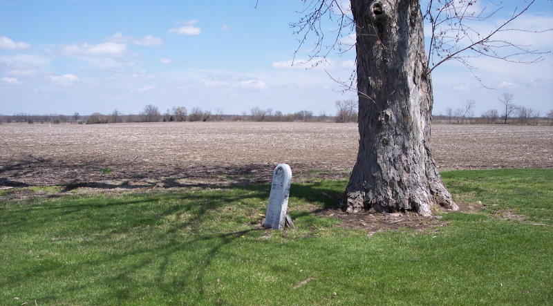
| Description | : | Organized 1876 and Located in the N.W. corner of Clark County. Folker Township, Section 30 north. Found about 9 miles north-west of Luray, sets on County Road K. |
frequently asked questions (FAQ):
-
Where is Ashbury Methodist Episcopal Church Cemetery?
Ashbury Methodist Episcopal Church Cemetery is located at Luray, Clark County ,Missouri ,USA.
-
Ashbury Methodist Episcopal Church Cemetery cemetery's updated grave count on graveviews.com?
0 memorials
-
Where are the coordinates of the Ashbury Methodist Episcopal Church Cemetery?
Latitude: 40.5774231
Longitude: -91.9375839
Nearby Cemetories:
1. Hanan Family Cemetery
Luray, Clark County, USA
Coordinate: 40.5843658, -91.9429626
2. Bibb Cemetery
Scotland County, USA
Coordinate: 40.5677986, -91.9621964
3. Allphin Cemetery
Scotland County, USA
Coordinate: 40.5786018, -91.9664001
4. W. H. Todd Family Cemetery
Luray, Clark County, USA
Coordinate: 40.5985413, -91.9186325
5. Heald Cemetery
Scotland County, USA
Coordinate: 40.6032982, -91.9475021
6. Davis Cemetery
Scotland County, USA
Coordinate: 40.5736008, -91.9783020
7. Miller Cemetery
Mount Sterling, Van Buren County, USA
Coordinate: 40.6209578, -91.9312522
8. Blackledge Cemetery
Mount Sterling, Van Buren County, USA
Coordinate: 40.6094017, -91.8949966
9. Harness Cemetery
Mount Sterling, Van Buren County, USA
Coordinate: 40.6232986, -91.9191971
10. Prospect Grove Cemetery
Scotland County, USA
Coordinate: 40.5346985, -91.9841995
11. Wiley Cemetery
Mount Sterling, Van Buren County, USA
Coordinate: 40.6369019, -91.9586029
12. Bethlehem Cemetery
Clark County, USA
Coordinate: 40.5388985, -91.8716965
13. Mount Moriah Cemetery
Azen, Scotland County, USA
Coordinate: 40.5422800, -92.0083700
14. Gorgas Cemetery
Scotland County, USA
Coordinate: 40.5256004, -91.9891968
15. Conkle Cemetery
Clark County, USA
Coordinate: 40.5214005, -91.8906021
16. Jones Cemetery
Mount Sterling, Van Buren County, USA
Coordinate: 40.6450005, -91.9206009
17. Anderson Cemetery
Mount Sterling, Van Buren County, USA
Coordinate: 40.6167001, -91.8585027
18. Brookhart Cemetery
Scotland County, USA
Coordinate: 40.5196991, -91.9997025
19. Upton Cemetery
Cantril, Van Buren County, USA
Coordinate: 40.6074030, -92.0338380
20. Black Oak Cemetery
Thomson Township, Scotland County, USA
Coordinate: 40.5008900, -91.9680900
21. Mayfield Cemetery
Chambersburg, Clark County, USA
Coordinate: 40.5312920, -91.8504486
22. Phillips Cemetery
Van Buren County, USA
Coordinate: 40.6472015, -91.9922028
23. Mantonye Cemetery
Van Buren County, USA
Coordinate: 40.6264000, -92.0248000
24. Christy Cemetery
Acasto, Clark County, USA
Coordinate: 40.5971985, -91.8317032