
| Memorials | : | 0 |
| Location | : | Greene County, USA |
| Coordinate | : | 31.3596992, -88.5408020 |
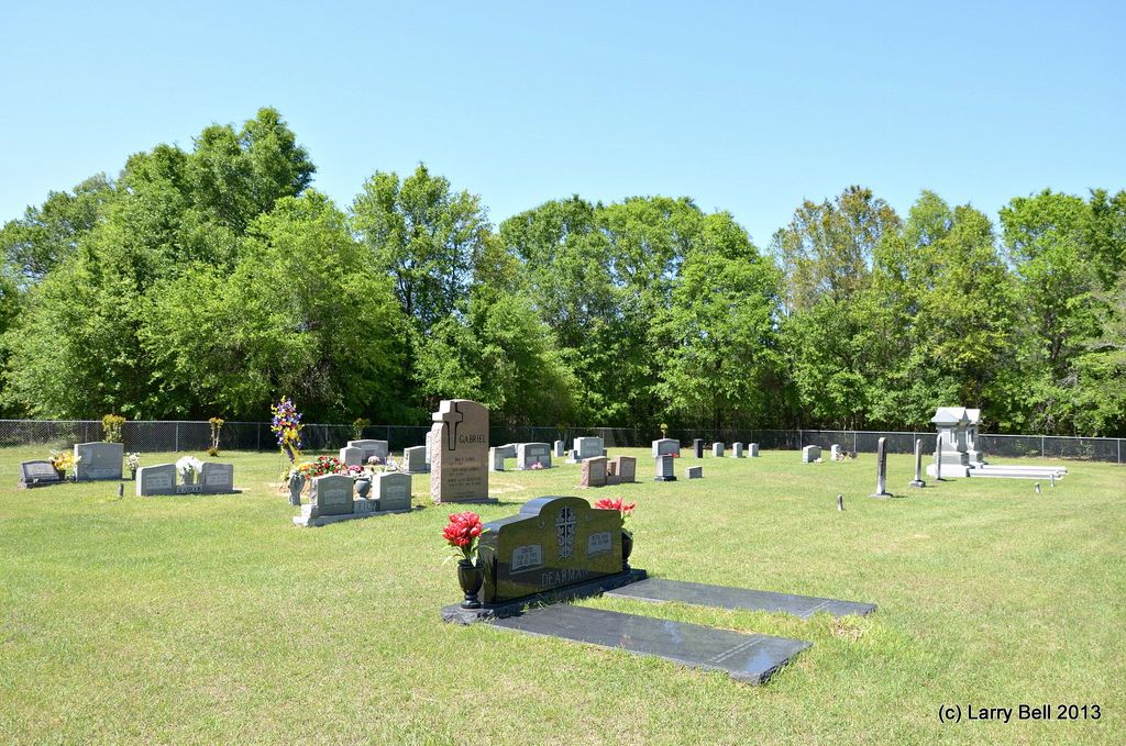
| Description | : | Leaving Leakesville, Mississippi on Oak Street, drive north toward the community of Avera, Mississippi. Continue north on Oak Street to the city limit sign where the name of the road will change to Old Avera Road. You continue on this road for 17.3 mile to the intersection with Abram Smith road, where you turn right and go .9 mile to a dead end. Turn right onto Simpson Bend Road and in .7 mile the cemetery will be on your right. (Simpson Bend road is also called the Dog Brown Road by many locals in the area). This cemetery is owned... Read More |
frequently asked questions (FAQ):
-
Where is Avera Cemetery?
Avera Cemetery is located at Simpson Bend Road (Dog Brown Road) Greene County ,Mississippi ,USA.
-
Avera Cemetery cemetery's updated grave count on graveviews.com?
0 memorials
-
Where are the coordinates of the Avera Cemetery?
Latitude: 31.3596992
Longitude: -88.5408020

Nearby Cemetories:
1. Simpson Cemetery
Greene County, USA
Coordinate: 31.3682995, -88.5385971
2. Avera Family Cemetery
Old Avera, Greene County, USA
Coordinate: 31.3517050, -88.5657070
3. Griffin Cemetery
Greene County, USA
Coordinate: 31.3477993, -88.5102997
4. Johnson Creek Cemetery
Greene County, USA
Coordinate: 31.3519001, -88.5030975
5. Garris Family Cemetery
State Line, Greene County, USA
Coordinate: 31.3570019, -88.4982162
6. Slay Cemetery
Greene County, USA
Coordinate: 31.3910999, -88.5639038
7. Heathcock Family Cemetery
State Line, Greene County, USA
Coordinate: 31.3770070, -88.5012570
8. Lane Cemetery
Greene County, USA
Coordinate: 31.3879547, -88.5104967
9. Odom Cemetery
Greene County, USA
Coordinate: 31.3208008, -88.5310974
10. Emory Platt Family Cemetery
Greene County, USA
Coordinate: 31.3314000, -88.5003300
11. Freefield Cemetery
Greene County, USA
Coordinate: 31.3600006, -88.6085968
12. Adamsville Cemetery
Greene County, USA
Coordinate: 31.2931004, -88.5481033
13. Dex McLeod Cemetery
Clark, Greene County, USA
Coordinate: 31.2922200, -88.5593000
14. Old Fellowship Cemetery
Clark, Greene County, USA
Coordinate: 31.2902550, -88.5730580
15. Fellowship Cemetery
Greene County, USA
Coordinate: 31.2905998, -88.5744019
16. Clark Chapel Cemetery
Greene County, USA
Coordinate: 31.2859700, -88.5741900
17. Kittrell Cemetery
Greene County, USA
Coordinate: 31.4311008, -88.5991974
18. Platt Cemetery
Greene County, USA
Coordinate: 31.2716999, -88.5214005
19. State Line Cemetery
State Line, Greene County, USA
Coordinate: 31.4314003, -88.4764023
20. State Line African American Cemetery
State Line, Greene County, USA
Coordinate: 31.4315030, -88.4764150
21. County Line Cemetery
Wayne County, USA
Coordinate: 31.4431590, -88.5918400
22. Fruitdale Cemetery
Fruitdale, Washington County, USA
Coordinate: 31.3563995, -88.4188995
23. Providence Cemetery
Wayne County, USA
Coordinate: 31.4638996, -88.5730972
24. Providence United Methodist Cemetery
Greene County, USA
Coordinate: 31.4641170, -88.5730420