
| Memorials | : | 0 |
| Location | : | Scircleville, Clinton County, USA |
| Coordinate | : | 40.2872009, -86.2755966 |
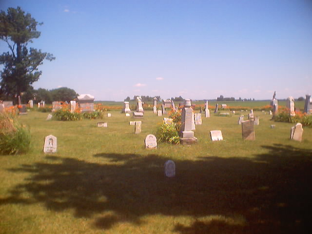
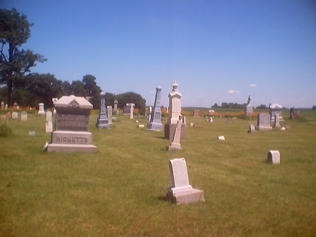
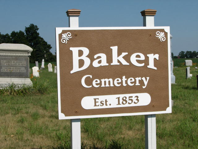
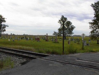
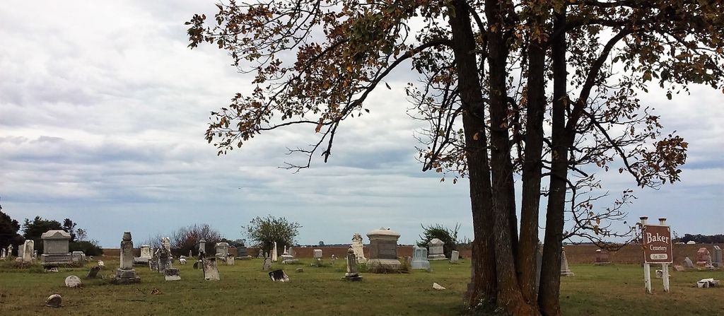
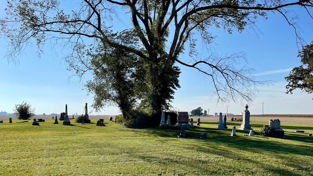
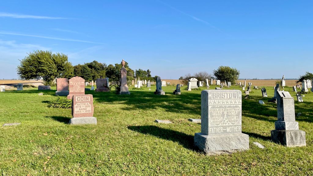
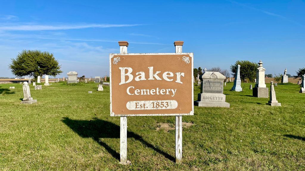
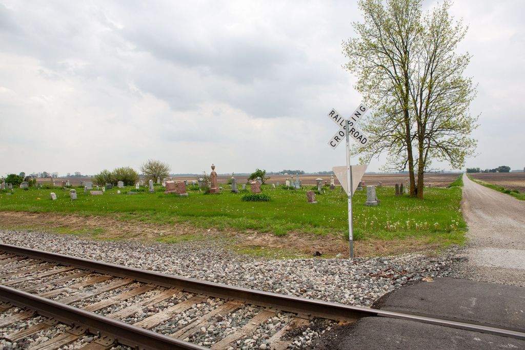
| Description | : | The cemetery is located on the southeast corner of the intersection of E County Road 0 NS and S County road 1230 E. The cemetery was established in 1853. The U.S. Geological Survey (USGS) Geographic Names Information System (GNIS) feature ID for the cemetery is 430423 (Baker Cemetery). |
frequently asked questions (FAQ):
-
Where is Baker Cemetery?
Baker Cemetery is located at E County Road 0 NS and S County road 1230 E Scircleville, Clinton County ,Indiana , 46041USA.
-
Baker Cemetery cemetery's updated grave count on graveviews.com?
0 memorials
-
Where are the coordinates of the Baker Cemetery?
Latitude: 40.2872009
Longitude: -86.2755966
Nearby Cemetories:
1. Prairie Chapel Cemetery
Johnson Township, Clinton County, USA
Coordinate: 40.2999992, -86.2619019
2. Scott Cemetery
Scircleville, Clinton County, USA
Coordinate: 40.2731018, -86.3016968
3. Stroup Cemetery
Scircleville, Clinton County, USA
Coordinate: 40.3153000, -86.2752991
4. David Kemp Memorial
Kempton, Tipton County, USA
Coordinate: 40.2882996, -86.2290344
5. Bacon Cemetery
Johnson Township, Clinton County, USA
Coordinate: 40.3224983, -86.2602997
6. Kempton Cemetery
Kempton, Tipton County, USA
Coordinate: 40.2989006, -86.2257996
7. Orr-Merritt Cemetery
Scircleville, Clinton County, USA
Coordinate: 40.3297005, -86.3086014
8. Dusky Cemetery
Pickard, Clinton County, USA
Coordinate: 40.2320824, -86.2832184
9. Cooper Cemetery
Pickard, Clinton County, USA
Coordinate: 40.2334100, -86.2491200
10. Kings Corner Cemetery
Hillisburg, Clinton County, USA
Coordinate: 40.2583008, -86.3416977
11. Saint Paul Cemetery
Forest, Clinton County, USA
Coordinate: 40.3450012, -86.3003006
12. Plummer Cemetery
Michigantown, Clinton County, USA
Coordinate: 40.3231010, -86.3403015
13. Searcy Cemetery
Ekin, Tipton County, USA
Coordinate: 40.2347530, -86.2313230
14. Hills Baptist Church Cemetery
Pickard, Clinton County, USA
Coordinate: 40.2259827, -86.2481155
15. Normanda Cemetery
Normanda, Tipton County, USA
Coordinate: 40.3111000, -86.1688995
16. Liberty Cemetery
Groomsville, Tipton County, USA
Coordinate: 40.3526764, -86.2037582
17. Combs Family Cemetery
Kirklin, Clinton County, USA
Coordinate: 40.2145233, -86.3419800
18. Whiteman Cemetery
Michigantown, Clinton County, USA
Coordinate: 40.3157997, -86.3921967
19. Paris Cemetery
Boyleston, Clinton County, USA
Coordinate: 40.2949982, -86.3981018
20. Wolford Cemetery
Goldsmith, Tipton County, USA
Coordinate: 40.2867080, -86.1523630
21. Stowers Cemetery
Kirklin, Clinton County, USA
Coordinate: 40.1996994, -86.3236008
22. Tetersburg Cemetery
Goldsmith, Tipton County, USA
Coordinate: 40.2770844, -86.1508789
23. Oak Hill Cemetery
Kirklin, Clinton County, USA
Coordinate: 40.2144012, -86.3574982
24. Vawter Family Cemetery
Groomsville, Tipton County, USA
Coordinate: 40.3673760, -86.2058540