
| Memorials | : | 0 |
| Location | : | Sandoval County, USA |
| Coordinate | : | 35.7787940, -106.2703870 |
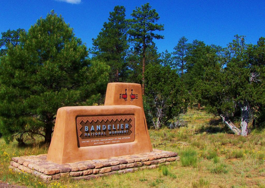
| Description | : | Bandelier National Monument is a 33,677-acre National Park managed by the National Park Service with a mission to preserve the homes of the Ancestral Pueblo People. It is named after Swiss anthropologist Adolph Bandelier, who extensively researched the cultures of the area. Bandelier was designated a National Monument on February 11, 1916. For more information: www.nps.gov/band |
frequently asked questions (FAQ):
-
Where is Bandelier National Monument?
Bandelier National Monument is located at 15 Entrance Road Sandoval County ,New Mexico , 87544USA.
-
Bandelier National Monument cemetery's updated grave count on graveviews.com?
0 memorials
-
Where are the coordinates of the Bandelier National Monument?
Latitude: 35.7787940
Longitude: -106.2703870
Nearby Cemetories:
1. United Church of Los Alamos Columbarium
Los Alamos, Los Alamos County, USA
Coordinate: 35.8842000, -106.3052000
2. Trinity on the Hill Columbarium
Los Alamos, Los Alamos County, USA
Coordinate: 35.8836000, -106.3180000
3. Guaje Pines Cemetery
Los Alamos, Los Alamos County, USA
Coordinate: 35.9067001, -106.3005981
4. Bland Albemarle Cemetery
Bland, Sandoval County, USA
Coordinate: 35.7561350, -106.4641900
5. San Ildefonso Cemetery
San Ildefonso Pueblo, Santa Fe County, USA
Coordinate: 35.8932700, -106.1198200
6. Cocheti Pueblo Cemetery
Cochiti Pueblo, Sandoval County, USA
Coordinate: 35.6135670, -106.3526510
7. El Rancho Catholic Cemetery
El Rancho, Santa Fe County, USA
Coordinate: 35.8905880, -106.0991720
8. Pena Blanca Cemetery
Pena Blanca, Sandoval County, USA
Coordinate: 35.5727997, -106.3364029
9. La Bajada Cemetery
La Bajada, Santa Fe County, USA
Coordinate: 35.5549940, -106.2398800
10. Cementerio de Agua Fria
Agua Fria, Santa Fe County, USA
Coordinate: 35.6611620, -106.0302920
11. Sile Cemetery
Sandoval County, USA
Coordinate: 35.5656160, -106.3740700
12. Pojoaque Cemetery
Pojoaque, Santa Fe County, USA
Coordinate: 35.8933190, -106.0159820
13. Santa Clara Pueblo Cemetery
Santa Clara Pueblo, Rio Arriba County, USA
Coordinate: 35.9679750, -106.0878790
14. San Isidro Cemetery
Agua Fria, Santa Fe County, USA
Coordinate: 35.6581001, -106.0130997
15. San Jose Cemetery
La Cienega, Santa Fe County, USA
Coordinate: 35.5639400, -106.1229460
16. Sacred Heart of Jesus Catholic Cemetery
Nambe, Santa Fe County, USA
Coordinate: 35.8964910, -105.9897990
17. Womens Club Cemetery
Espanola, Rio Arriba County, USA
Coordinate: 35.9928000, -106.0919000
18. Sacred Heart of Jesus Cemetery
Espanola, Rio Arriba County, USA
Coordinate: 35.9929000, -106.0883000
19. Valley View United Methodist Church Columbarium
Espanola, Rio Arriba County, USA
Coordinate: 35.9978420, -106.0855940
20. Nambe Pueblo Cemetery
Santa Fe County, USA
Coordinate: 35.8865970, -105.9655700
21. Santa Fe National Cemetery
Santa Fe, Santa Fe County, USA
Coordinate: 35.6989365, -105.9500656
22. Odd Fellows Cemetery
Santa Fe, Santa Fe County, USA
Coordinate: 35.6741400, -105.9600900
23. Fairview Cemetery
Santa Fe, Santa Fe County, USA
Coordinate: 35.6755981, -105.9578018
24. Saint Catherine's Cemetery
Santa Fe County, USA
Coordinate: 35.6973490, -105.9464860