
| Memorials | : | 0 |
| Location | : | Linn County, USA |
| Coordinate | : | 39.8100000, -93.0625600 |
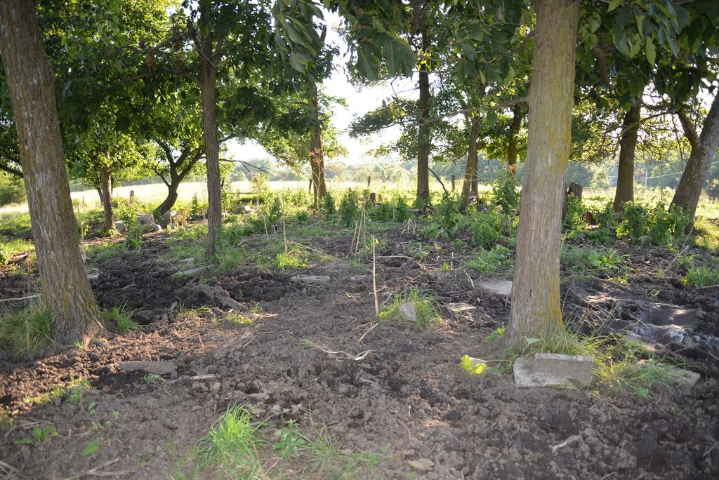
| Description | : | Located in Brookfield Township, Linn County, in the northeast corner, NE 1/4, Sec 31, T-58, R-19. Start on Missouri State Route M, in Brookfield. From Brookfield, go north on Hwy M about 1/2 mile, then turn right (east) on Iva Road, a gravel road. Go east 1 mile to intersection with Icon Drive, another gravel road going north; cemetery is about 25 yards south of Iva Road road in a clump of trees. |
frequently asked questions (FAQ):
-
Where is Banning Cemetery?
Banning Cemetery is located at Linn County ,Missouri ,USA.
-
Banning Cemetery cemetery's updated grave count on graveviews.com?
0 memorials
-
Where are the coordinates of the Banning Cemetery?
Latitude: 39.8100000
Longitude: -93.0625600

Nearby Cemetories:
1. Young Cemetery
Linn County, USA
Coordinate: 39.7989693, -93.0602807
2. Parklawn Memory Gardens Cemetery
Brookfield, Linn County, USA
Coordinate: 39.7897576, -93.0789505
3. Old New Garden Cemetery
Linn County, USA
Coordinate: 39.7925600, -93.0254900
4. Saint Michaels Cemetery
Brookfield, Linn County, USA
Coordinate: 39.7657318, -93.0662155
5. Rose Hill Cemetery
Brookfield, Linn County, USA
Coordinate: 39.7655530, -93.0650260
6. New Garden Cemetery
Saint Catharine, Linn County, USA
Coordinate: 39.8530998, -93.0453033
7. Linhart Chapel Cemetery
Linn County, USA
Coordinate: 39.8427100, -93.0094800
8. Sensintaffar Cemetery
Laclede, Linn County, USA
Coordinate: 39.7675050, -93.1431790
9. Pleasant View Baptist Cemetery
Linn County, USA
Coordinate: 39.8698500, -92.9847300
10. Beckett Cemetery
Linneus, Linn County, USA
Coordinate: 39.8653700, -93.1514300
11. Laclede Cemetery
Laclede, Linn County, USA
Coordinate: 39.7839012, -93.1751022
12. Stains Cemetery
Linn County, USA
Coordinate: 39.7256012, -93.0199966
13. Anderson Cemetery
Saint Catharine, Linn County, USA
Coordinate: 39.8188000, -92.9450833
14. McCollum Cemetery
Bucklin, Linn County, USA
Coordinate: 39.8548600, -92.9549500
15. Locust Creek Mennonite Church and Cemetery
Linn County, USA
Coordinate: 39.8792700, -93.1545400
16. Wyandotte Cemetery
Bucklin, Linn County, USA
Coordinate: 39.8134900, -92.9320800
17. Pulliam-Gash Cemetery
Linn County, USA
Coordinate: 39.9014015, -92.9966965
18. Fosher Cemetery
Linneus, Linn County, USA
Coordinate: 39.9151800, -93.0800700
19. Redding Cemetery
Yellow Creek Township, Chariton County, USA
Coordinate: 39.7000008, -93.0413971
20. Locust Creek Cemetery
Jefferson Township, Linn County, USA
Coordinate: 39.7574000, -93.1927300
21. Switzer Chapel Cemetery
Linn County, USA
Coordinate: 39.8750400, -92.9413600
22. Bolin Baker Cemetery
New Boston, Linn County, USA
Coordinate: 39.8792000, -92.9381027
23. Saint Bonaventure Cemetery
Marceline, Linn County, USA
Coordinate: 39.7167015, -92.9657974
24. Thorne Cemetery
Linn County, USA
Coordinate: 39.8870850, -93.1812286