
| Memorials | : | 1 |
| Location | : | Ellsworth, McLean County, USA |
| Coordinate | : | 40.4081001, -88.6931000 |
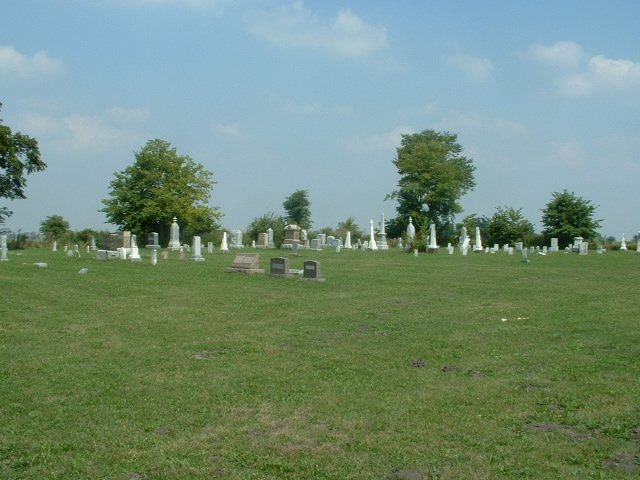
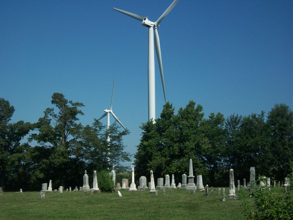
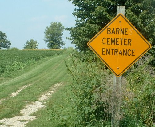
| Description | : | Located on 850 North Road, one-half mile west of 3000 East Road, Dawson Township, Section 36. |
frequently asked questions (FAQ):
-
Where is Barnes Cemetery?
Barnes Cemetery is located at 850 North Road Ellsworth, McLean County ,Illinois ,USA.
-
Barnes Cemetery cemetery's updated grave count on graveviews.com?
1 memorials
-
Where are the coordinates of the Barnes Cemetery?
Latitude: 40.4081001
Longitude: -88.6931000
Nearby Cemetories:
1. Dawson Cemetery
Ellsworth, McLean County, USA
Coordinate: 40.4197006, -88.7117004
2. Arrowsmith Township Cemetery
Arrowsmith, McLean County, USA
Coordinate: 40.4282990, -88.6658020
3. Love Cemetery
Sabina, McLean County, USA
Coordinate: 40.3918000, -88.6563200
4. Frankeberger Cemetery
Ellsworth, McLean County, USA
Coordinate: 40.4239006, -88.7328033
5. Payne Cemetery
Arrowsmith, McLean County, USA
Coordinate: 40.4418983, -88.6306000
6. United Brethren Cemetery
Ellsworth, McLean County, USA
Coordinate: 40.4710780, -88.6884640
7. Howard Cemetery
Le Roy, McLean County, USA
Coordinate: 40.3384514, -88.7318115
8. Oak Grove Cemetery
Le Roy, McLean County, USA
Coordinate: 40.3391991, -88.7358017
9. Lebo Cemetery
Downs, McLean County, USA
Coordinate: 40.4075012, -88.8091660
10. Hoover Cemetery
McLean County, USA
Coordinate: 40.4485470, -88.8090560
11. Creel Cemetery
McLean County, USA
Coordinate: 40.4223180, -88.8213300
12. Blue Mound Cemetery
Cooksville, McLean County, USA
Coordinate: 40.5046997, -88.7288971
13. Gilmore Cemetery
Le Roy, McLean County, USA
Coordinate: 40.3403460, -88.7923840
14. Greenwood Cemetery
Arrowsmith, McLean County, USA
Coordinate: 40.4561005, -88.5753021
15. Garr Cemetery
Downs, McLean County, USA
Coordinate: 40.4008500, -88.8344190
16. Friends Cemetery
Bentown, McLean County, USA
Coordinate: 40.4761086, -88.8050003
17. Plymouth Cemetery
Arrowsmith, McLean County, USA
Coordinate: 40.5003014, -88.5988998
18. Pleasant Grove Cemetery
Downs, McLean County, USA
Coordinate: 40.4285202, -88.8456802
19. Deffenbaugh Family Cemetery
Le Roy, McLean County, USA
Coordinate: 40.3017502, -88.7753067
20. Cheney Grove Township Cemetery
Saybrook, McLean County, USA
Coordinate: 40.4269850, -88.5303430
21. Riverside Cemetery
Saybrook, McLean County, USA
Coordinate: 40.4143982, -88.5278015
22. Rutledge Cemetery
Le Roy, McLean County, USA
Coordinate: 40.3414993, -88.8386002
23. Bellflower Township Cemetery
Bellflower, McLean County, USA
Coordinate: 40.3636017, -88.5250015
24. Hopewell Cemetery
Downs, McLean County, USA
Coordinate: 40.3996240, -88.8712190