
| Memorials | : | 41 |
| Location | : | Van Buren Township, Shelby County, USA |
| Coordinate | : | 40.4138140, -84.2739080 |
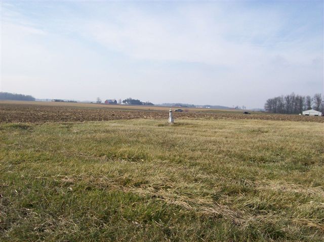
| Description | : | The cemetery is located on the west side of Lucas-Geib Road (Township Road 75) about 0.2 miles north of its intersection with Ohio State Route 29. The cemetery is located in Van Buren Township, Shelby County, Ohio, and is # 11248 (Barnett Cemetery) in “Ohio Cemeteries 1803-2003”, compiled by the Ohio Genealogical Society. The U.S. Geological Survey (USGS) Geographic Names Information System (GNIS) feature ID for the cemetery is 1037641 (Barnett Cemetery). |
frequently asked questions (FAQ):
-
Where is Barnett Cemetery?
Barnett Cemetery is located at Lucas-Geib Road (Township Road 75) Van Buren Township, Shelby County ,Ohio , 45302USA.
-
Barnett Cemetery cemetery's updated grave count on graveviews.com?
41 memorials
-
Where are the coordinates of the Barnett Cemetery?
Latitude: 40.4138140
Longitude: -84.2739080
Nearby Cemetories:
1. Hines Cemetery
Van Buren Township, Shelby County, USA
Coordinate: 40.4089170, -84.2857040
2. Sacred Heart Catholic Church Cemetery
McCartyville, Shelby County, USA
Coordinate: 40.3958817, -84.2543945
3. Redman Cemetery
Van Buren Township, Shelby County, USA
Coordinate: 40.4169006, -84.2272034
4. Schwaberow Cemetery
Kettlersville, Shelby County, USA
Coordinate: 40.4376530, -84.3120430
5. Johnson Cemetery
Kettlersville, Shelby County, USA
Coordinate: 40.4539830, -84.2600210
6. Collins Cemetery
Kettlersville, Shelby County, USA
Coordinate: 40.4392014, -84.2303009
7. Cuba Cemetery
Turtle Creek Township, Shelby County, USA
Coordinate: 40.3733690, -84.2582520
8. Saint Patricks Cemetery
Saint Patrick, Shelby County, USA
Coordinate: 40.3703300, -84.2880000
9. Friedens Gemeinde Cemetery
Kettlersville, Shelby County, USA
Coordinate: 40.4666061, -84.2590408
10. Toland Cemetery
Anna, Shelby County, USA
Coordinate: 40.4096985, -84.1947021
11. Coles Chapel Cemetery
Hardin, Shelby County, USA
Coordinate: 40.3516690, -84.2466650
12. Fountain of Living Waters Memorial Garden
New Knoxville, Auglaize County, USA
Coordinate: 40.4742540, -84.3270550
13. Mount Gilead Methodist Episcopal Church Cemetery
Anna, Shelby County, USA
Coordinate: 40.3997700, -84.1732800
14. Protestant Evangelical Cemetery
New Knoxville, Auglaize County, USA
Coordinate: 40.4878006, -84.3163986
15. Old Loramie Valley Cemetery
Botkins, Shelby County, USA
Coordinate: 40.4528008, -84.1785965
16. Willow Grove Cemetery
New Bremen, Auglaize County, USA
Coordinate: 40.4606018, -84.3630981
17. New Loramie Valley Cemetery
Botkins, Shelby County, USA
Coordinate: 40.4552994, -84.1781006
18. New Hope Cemetery
Turtle Creek Township, Shelby County, USA
Coordinate: 40.3300500, -84.2657800
19. German Protestant Cemetery
New Bremen, Auglaize County, USA
Coordinate: 40.4533005, -84.3735962
20. Saint Augustines Cemetery
Minster, Auglaize County, USA
Coordinate: 40.3855260, -84.3801160
21. German Reformed Cemetery
New Knoxville, Auglaize County, USA
Coordinate: 40.4925880, -84.3186111
22. Methodist Cemetery
New Knoxville, Auglaize County, USA
Coordinate: 40.4941559, -84.3182678
23. Olive Branch Cemetery
New Knoxville, Auglaize County, USA
Coordinate: 40.4967003, -84.2360992
24. Pilger Ruhe Cemetery
New Knoxville, Auglaize County, USA
Coordinate: 40.4888992, -84.3347015