
| Memorials | : | 0 |
| Location | : | Cleburne County, USA |
| Coordinate | : | 35.4749985, -91.8608017 |
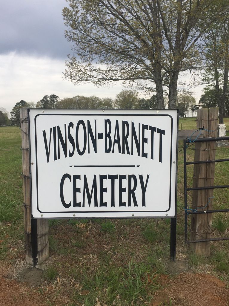
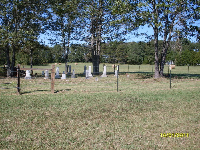
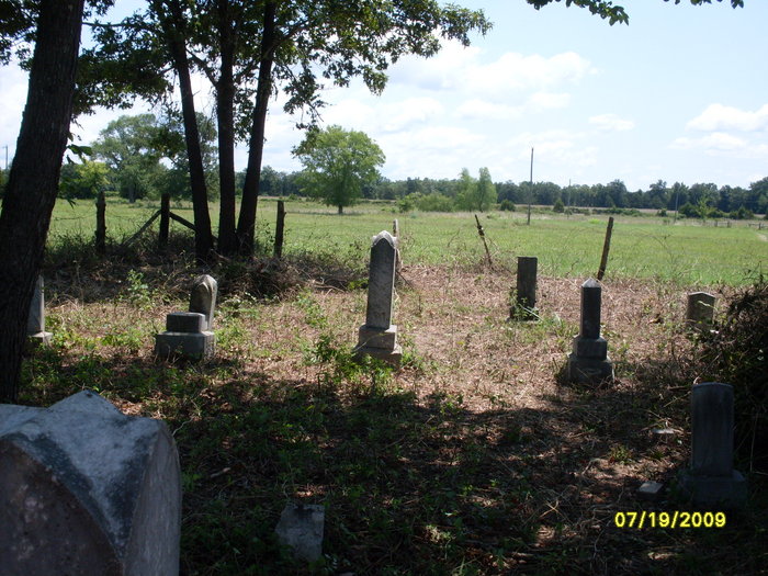
| Description | : | From Pangburn, take Highway 110 north to the top of the hill at Hiram Bluff. Turn right on the first road at the top of the hill and go one-half mile. You will see a white house and a trailer house on the left of the road. A road goes down between them. Straight back at the end of this road (driveway) back in the pasture field about 200 yards is the cemetery. Restoration of this cemetery was coordinated by Find A Grave contributor, Jennifer Sartain Vinson. |
frequently asked questions (FAQ):
-
Where is Barnett Cemetery?
Barnett Cemetery is located at Cleburne County ,Arkansas ,USA.
-
Barnett Cemetery cemetery's updated grave count on graveviews.com?
0 memorials
-
Where are the coordinates of the Barnett Cemetery?
Latitude: 35.4749985
Longitude: -91.8608017
Nearby Cemetories:
1. Walnut Grove Cemetery
Cleburne County, USA
Coordinate: 35.4588440, -91.8428200
2. Center Chapel Cemetery
Cleburne County, USA
Coordinate: 35.5069008, -91.8585968
3. Faulkner Cemetery
Pangburn, White County, USA
Coordinate: 35.4350014, -91.8317032
4. Adams Cemetery
Wilburn, Cleburne County, USA
Coordinate: 35.5214500, -91.8501100
5. Henderson Cemetery
Pangburn, White County, USA
Coordinate: 35.4305992, -91.8225021
6. Hicks Cemetery
Little Red, White County, USA
Coordinate: 35.4588900, -91.7959800
7. Magness Cemetery
Heber Springs, Cleburne County, USA
Coordinate: 35.4874992, -91.9272003
8. Moore Cemetery
Cleburne County, USA
Coordinate: 35.5285988, -91.8210983
9. Burns Cemetery
Cleburne County, USA
Coordinate: 35.5430984, -91.8244019
10. Coffey Cemetery
Pangburn, White County, USA
Coordinate: 35.4382280, -91.7754600
11. Good Springs Cemetery
Heber Springs, Cleburne County, USA
Coordinate: 35.4271870, -91.9395280
12. Goff Cemetery
Cleburne County, USA
Coordinate: 35.4814700, -91.9644300
13. Burkett Cemetery
Independence County, USA
Coordinate: 35.5414009, -91.7814026
14. Warren Cemetery
Cleburne County, USA
Coordinate: 35.5602989, -91.8103027
15. Mason Cemetery
Independence County, USA
Coordinate: 35.5443993, -91.7771988
16. Sugarloaf Cemetery
Heber Springs, Cleburne County, USA
Coordinate: 35.4668999, -91.9869003
17. Leggett Cemetery
Sunnydale, White County, USA
Coordinate: 35.4467010, -91.7296982
18. Bailey Cemetery
Independence County, USA
Coordinate: 35.5546989, -91.7652969
19. Miller Cemetery
Ida, Cleburne County, USA
Coordinate: 35.5849991, -91.8936005
20. Mary Louise Baker Gravesite
Clay, White County, USA
Coordinate: 35.4063880, -91.7502770
21. Howell Cemetery
Clay, White County, USA
Coordinate: 35.3869019, -91.7724991
22. Apostolic Church Cemetery
Heber Springs, Cleburne County, USA
Coordinate: 35.4466700, -92.0014700
23. Chastain Cemetery
Tumbling Shoals, Cleburne County, USA
Coordinate: 35.5451450, -91.9779060
24. Philadelphia Cemetery
Sunnydale, White County, USA
Coordinate: 35.4500008, -91.7174988