| Memorials | : | 0 |
| Location | : | Winfield, Columbia County, USA |
| Coordinate | : | 33.6122200, -82.3788900 |
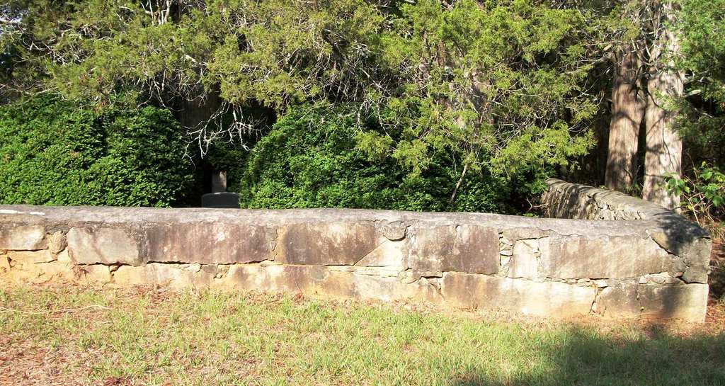
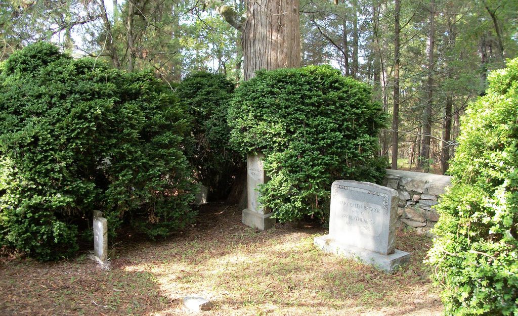
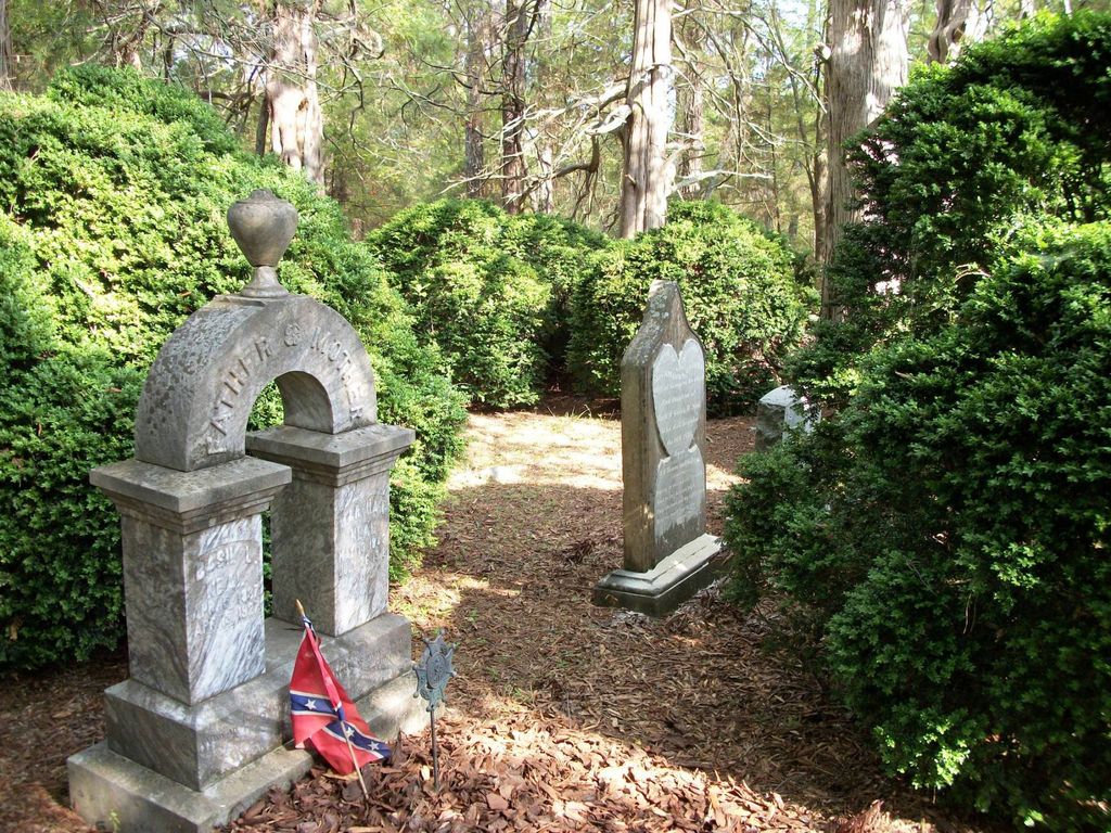
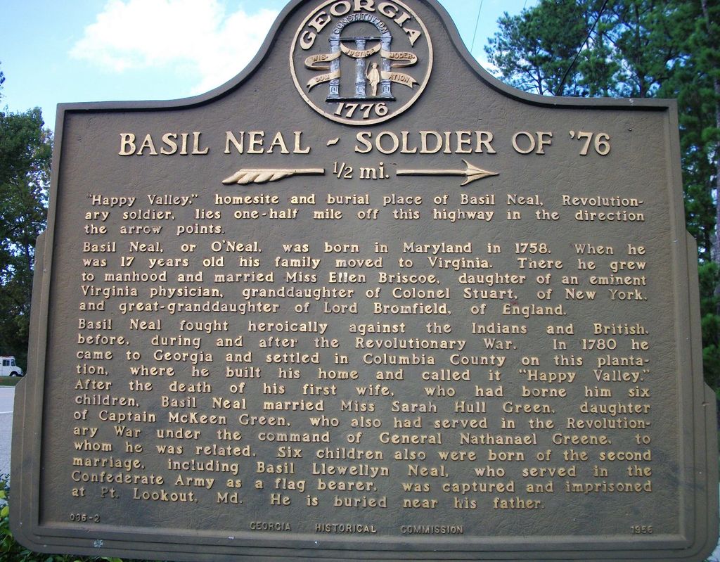
| Description | : | This cemetery is located on Happy Valley Lane, north off of Cobbham Road in Winfield, Columbia County, Georgia. It is located on private property and it is very well-maintained. There is an approximately 3 foot high and 2 foot thick stone wall with stone steps surrounding the cemetery. There is a stone bench to the north of the cemetery. There are many unmarked graves both inside and outside of the stone walls (some marked with fieldstones). At the intersection of Happy Valley Lane and Cobbham Road there is a Georgia State Memorial Marker for Basil Neal,... Read More |
frequently asked questions (FAQ):
-
Where is Basil Neal Family Cemetery?
Basil Neal Family Cemetery is located at Winfield, Columbia County ,Georgia ,USA.
-
Basil Neal Family Cemetery cemetery's updated grave count on graveviews.com?
0 memorials
-
Where are the coordinates of the Basil Neal Family Cemetery?
Latitude: 33.6122200
Longitude: -82.3788900
Nearby Cemetories:
1. Shepherd's Church Cemetery
Appling, Columbia County, USA
Coordinate: 33.6117380, -82.3639650
2. Sharon Baptist Church Cemetery
Winfield, Columbia County, USA
Coordinate: 33.6054104, -82.3965151
3. First Mount Carmel Baptist Church Cemetery
Winfield, Columbia County, USA
Coordinate: 33.6057000, -82.3979200
4. Shiloh Methodist Church Cemetery
Columbia County, USA
Coordinate: 33.5915219, -82.4117932
5. Old Bullard Place Cemetery
Appling, Columbia County, USA
Coordinate: 33.6383074, -82.4062198
6. Blanchard Cemetery
Columbia County, USA
Coordinate: 33.6274986, -82.3399963
7. Crawford Family Cemetery
Appling, Columbia County, USA
Coordinate: 33.5910700, -82.3331500
8. Walnut Grove Baptist Church Cemetery
Appling, Columbia County, USA
Coordinate: 33.6058760, -82.3210050
9. Harriss Family Cemetery
Appling, Columbia County, USA
Coordinate: 33.5901100, -82.3184100
10. Dunn's Chapel Cemetery
Dunn Chapel, Columbia County, USA
Coordinate: 33.6576700, -82.3375300
11. Appling Grove Cemetery
Appling, Columbia County, USA
Coordinate: 33.5477820, -82.3396920
12. Solid Rock Baptist Church Cemetery
Appling, Columbia County, USA
Coordinate: 33.5876338, -82.2951234
13. Damascus Baptist Church Cemetery
Appling, Columbia County, USA
Coordinate: 33.6661220, -82.3169520
14. Poplar Springs Baptist Church Cemetery
Appling, Columbia County, USA
Coordinate: 33.5509677, -82.4306826
15. Thomas Hardin Family Cemetery
Leah, Columbia County, USA
Coordinate: 33.6774370, -82.3317050
16. Rehoboth Baptist Church Cemetery
Appling, Columbia County, USA
Coordinate: 33.6662423, -82.3131795
17. Kiokee Baptist Church Cemetery
Columbia County, USA
Coordinate: 33.5517000, -82.3191000
18. Old Kiokee Baptist Church Cemetery
Appling, Columbia County, USA
Coordinate: 33.5779000, -82.2917900
19. Knox - Morgan Cemetery
Columbia County, USA
Coordinate: 33.5493300, -82.3157100
20. Appling Methodist Cemetery
Columbia County, USA
Coordinate: 33.5456610, -82.3193110
21. Luke-Lamkin Cemetery
Columbia County, USA
Coordinate: 33.6208485, -82.2775860
22. Kiokee Baptist Church Schucraft Cemetery
Columbia County, USA
Coordinate: 33.5434000, -82.3187000
23. Salem Baptist Church Cemetery
Lincolnton, Lincoln County, USA
Coordinate: 33.6920738, -82.4148491
24. First Mount Moriah Baptist Church Cemetery
Appling, Columbia County, USA
Coordinate: 33.5385900, -82.3153300


