
| Memorials | : | 2 |
| Location | : | Basin Springs, Grayson County, USA |
| Coordinate | : | 33.7228700, -96.8436500 |
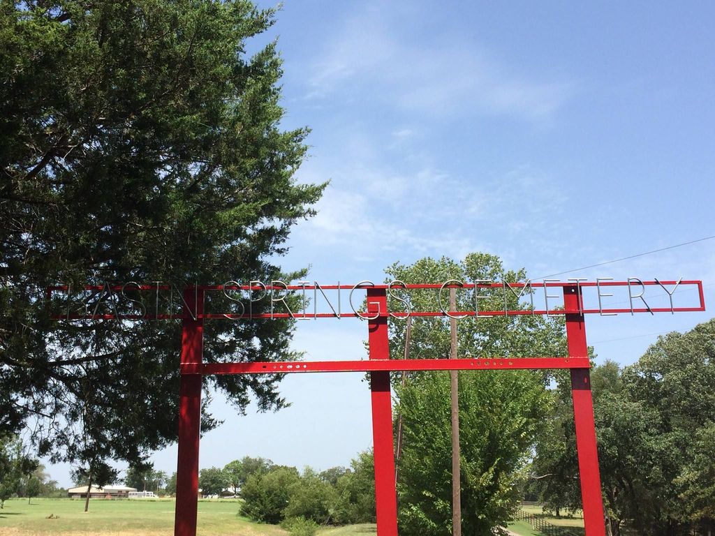
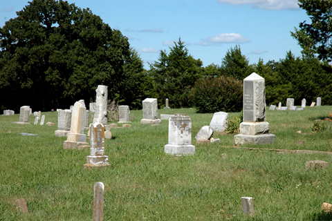
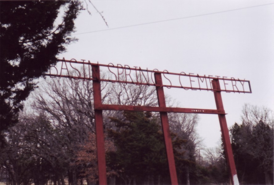
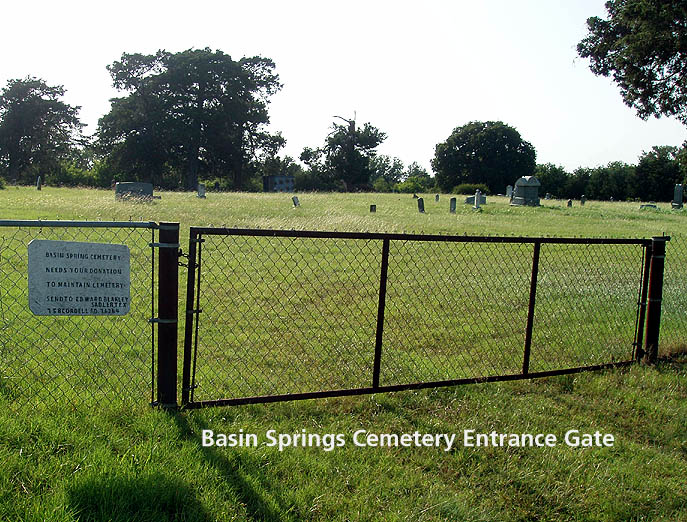
| Description | : | Basin Springs Cemetery was deeded by J.S. Funk and Mary J. Funk on June 3, 1907 as evident by the handwritten document as part of the Grayson County land records (volume 180, page 178). Family and Friends of Basin Springs Cemetery meet twice a year for cleanup (October & April). Volunteers are in the process of mapping, updating photographs, and more. If you would like additional information, please let us know at [email protected] Driving Directions from HWY 82 in Sadler, turn NORTH on FM 901 (aka Main Street), turn EAST on Brooks Lane (approx. 5 miles), turn NORTH... Read More |
frequently asked questions (FAQ):
-
Where is Basin Springs Cemetery?
Basin Springs Cemetery is located at 757 Basin Springs Cemetery Lane Basin Springs, Grayson County ,Texas , 76264USA.
-
Basin Springs Cemetery cemetery's updated grave count on graveviews.com?
2 memorials
-
Where are the coordinates of the Basin Springs Cemetery?
Latitude: 33.7228700
Longitude: -96.8436500
Nearby Cemetories:
1. Berry Cemetery
Gordonville, Grayson County, USA
Coordinate: 33.7549950, -96.8543380
2. Finally At Rest Cemetery
Whitesboro, Grayson County, USA
Coordinate: 33.6991789, -96.8876341
3. Mount Tabor Cemetery
Sandusky, Grayson County, USA
Coordinate: 33.7619019, -96.8716965
4. Shelton Cemetery
Basin Springs, Grayson County, USA
Coordinate: 33.7567300, -96.8050700
5. Christian Chapel Cemetery
Sadler, Grayson County, USA
Coordinate: 33.6805992, -96.8167038
6. Dixie Cemetery
Whitesboro, Grayson County, USA
Coordinate: 33.7107506, -96.9047318
7. Sadler Cemetery
Sadler, Grayson County, USA
Coordinate: 33.6678009, -96.8482971
8. Shires Cemetery
Grayson County, USA
Coordinate: 33.7762220, -96.8200210
9. Henry Cemetery
Sandusky, Grayson County, USA
Coordinate: 33.7616180, -96.8969090
10. Thompson Cemetery
Dixie, Grayson County, USA
Coordinate: 33.7147200, -96.9205930
11. Gordonville Cemetery
Gordonville, Grayson County, USA
Coordinate: 33.7956800, -96.8479200
12. Alience Cemetery
Grayson County, USA
Coordinate: 33.7872009, -96.8897018
13. Allison Cemetery
Grayson County, USA
Coordinate: 33.7879890, -96.8894150
14. Kendall Chapel Cemetery
Southmayd, Grayson County, USA
Coordinate: 33.6645330, -96.7774700
15. Paradise Cove Cemetery
Locust, Grayson County, USA
Coordinate: 33.7945560, -96.7924690
16. Eskew Cemetery
Grayson County, USA
Coordinate: 33.7139015, -96.9439011
17. Hagerman Cemetery
Pottsboro, Grayson County, USA
Coordinate: 33.7543983, -96.7435989
18. Boston Farm Cemetery
Whitesboro, Grayson County, USA
Coordinate: 33.6952760, -96.9478720
19. Blassingame Cemetery
Sandusky, Grayson County, USA
Coordinate: 33.7982580, -96.9107760
20. Graines Cemetery
Callisburg, Cooke County, USA
Coordinate: 33.6914940, -96.9507446
21. Diamond Cemetery
Grayson County, USA
Coordinate: 33.6570700, -96.9280240
22. Oakwood Cemetery
Whitesboro, Grayson County, USA
Coordinate: 33.6539001, -96.9328003
23. Locust Cemetery
Pottsboro, Grayson County, USA
Coordinate: 33.8046350, -96.7706880
24. Allison North Cemetery
Gordonville, Grayson County, USA
Coordinate: 33.8161640, -96.8972880