
| Memorials | : | 10 |
| Location | : | Bald Bluff, Henderson County, USA |
| Coordinate | : | 41.0491714, -90.8041687 |
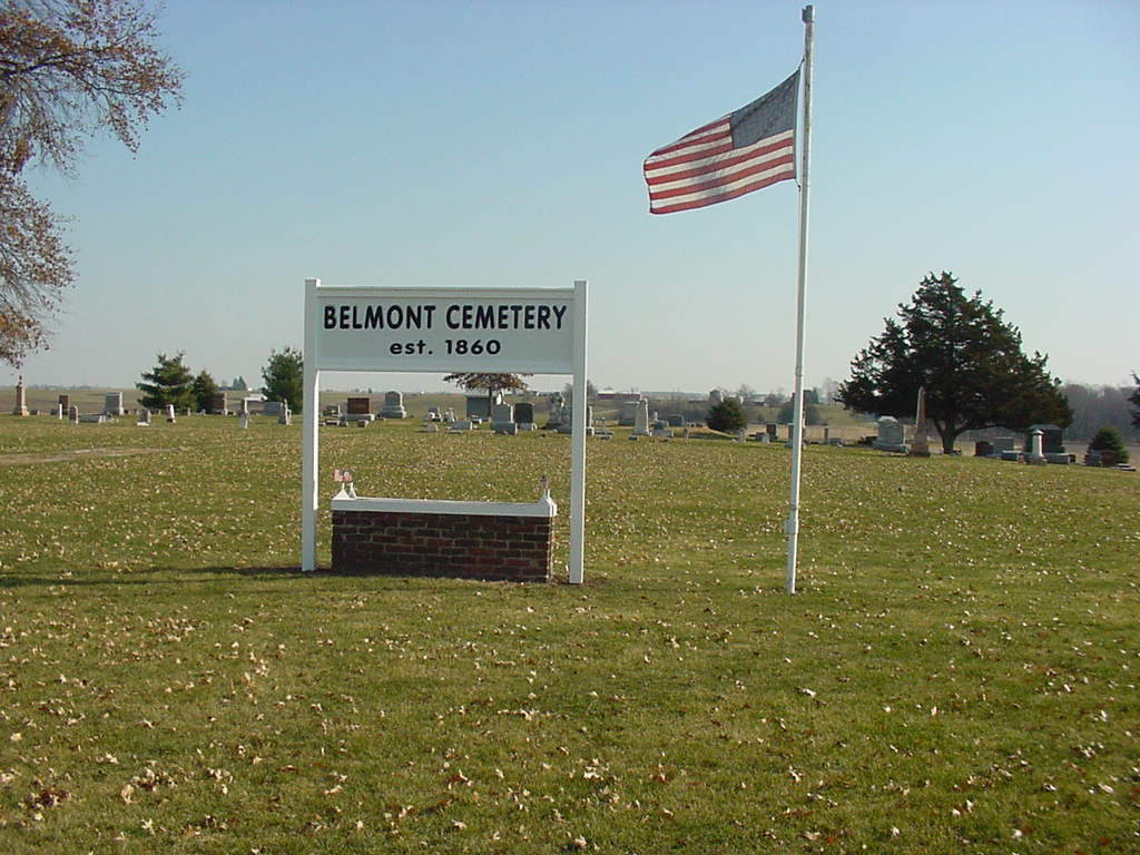
| Description | : | The cemetery is located on the northeast corner of the intersection of County Road 200 E (County Road 11) and County Road 2850 N. The U.S. Geological Survey (USGS) Geographic Names Information System (GNIS) feature ID for the cemetery is 1968240 (Belmont Cemetery). |
frequently asked questions (FAQ):
-
Where is Belmont Cemetery?
Belmont Cemetery is located at County Road 200 E (County Road 11) and County Road 2850 N Bald Bluff, Henderson County ,Illinois , 61453USA.
-
Belmont Cemetery cemetery's updated grave count on graveviews.com?
9 memorials
-
Where are the coordinates of the Belmont Cemetery?
Latitude: 41.0491714
Longitude: -90.8041687
Nearby Cemetories:
1. Hawkins Cemetery
Seaton, Mercer County, USA
Coordinate: 41.0696983, -90.8475037
2. McClure Cemetery
Seaton, Mercer County, USA
Coordinate: 41.0920700, -90.8146300
3. Little York Cemetery
Little York, Warren County, USA
Coordinate: 41.0118800, -90.7461300
4. Cedar Creek Cemetery
Little York, Warren County, USA
Coordinate: 41.0200386, -90.7270813
5. Fall Creek Cemetery
Rozetta, Henderson County, USA
Coordinate: 40.9742930, -90.8093190
6. Pleasant Green Cemetery
Little York, Warren County, USA
Coordinate: 40.9743996, -90.7941971
7. Coghill Cemetery
Henderson County, USA
Coordinate: 40.9768982, -90.8416977
8. Main Cemetery
Mercer County, USA
Coordinate: 41.1269195, -90.8362619
9. Candor Cemetery
Seaton, Mercer County, USA
Coordinate: 41.1347008, -90.7797012
10. Pioneer Cemetery
Henderson County, USA
Coordinate: 41.0037700, -90.9190000
11. Saint Marys Cemetery
Keithsburg, Mercer County, USA
Coordinate: 41.0995260, -90.9171760
12. Keithsburg Greenmound Cemetery
Keithsburg, Mercer County, USA
Coordinate: 41.0995670, -90.9208670
13. Stockton Cemetery
Henderson County, USA
Coordinate: 40.9528008, -90.8632965
14. Brownlee Cemetery
Mercer County, USA
Coordinate: 41.0758018, -90.6669006
15. Sunbeam United Presbyterian Cemetery
Sunbeam, Mercer County, USA
Coordinate: 41.1427100, -90.7350300
16. McPherren Cemetery
Aledo, Mercer County, USA
Coordinate: 41.1488991, -90.7260971
17. Sugar Tree Grove Cemetery
Warren County, USA
Coordinate: 40.9557991, -90.7082977
18. Rozetta Cemetery
Rozetta, Henderson County, USA
Coordinate: 40.9392014, -90.8645020
19. Reed Cemetery
Henderson County, USA
Coordinate: 40.9211006, -90.8452988
20. Spring Grove Cemetery
Woodvale, Warren County, USA
Coordinate: 41.0081200, -90.6312500
21. Norwood Cemetery
Mercer County, USA
Coordinate: 41.0890800, -90.6296970
22. Brick Cemetery
Joy, Mercer County, USA
Coordinate: 41.1824989, -90.8494034
23. Smith Creek Cemetery
Henderson County, USA
Coordinate: 40.9085999, -90.8067017
24. Peniel Cemetery
Joy, Mercer County, USA
Coordinate: 41.1861350, -90.8512980