
| Memorials | : | 0 |
| Location | : | Shubuta, Clarke County, USA |
| Coordinate | : | 31.9417000, -88.5580978 |
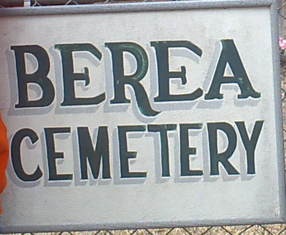
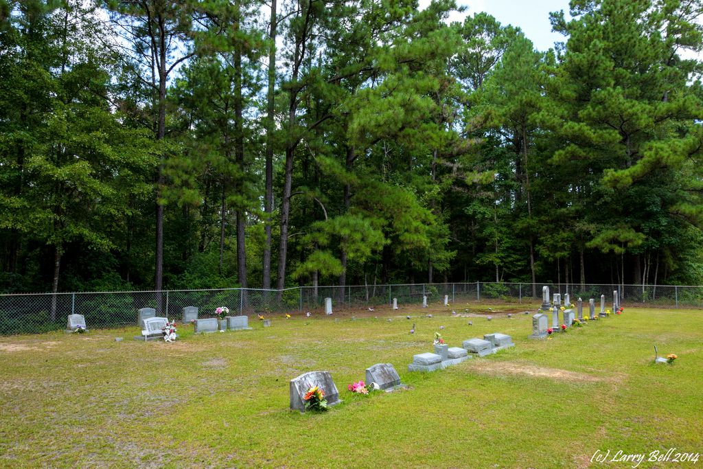
| Description | : | Berea Cemetery is on CR 626 at CR 630 in Shubuta MS countryside. It is surrounded by a chainlink fence and outside that the piney woods stand sentinel. The cemetery is still active with the most recent interment about 4 years ago. Total gravestone count is about 40. |
frequently asked questions (FAQ):
-
Where is Berea Cemetery?
Berea Cemetery is located at on CR 626 at CR 630 Shubuta, Clarke County ,Mississippi ,USA.
-
Berea Cemetery cemetery's updated grave count on graveviews.com?
0 memorials
-
Where are the coordinates of the Berea Cemetery?
Latitude: 31.9417000
Longitude: -88.5580978

Nearby Cemetories:
1. Providence Cemetery
Clarke County, USA
Coordinate: 31.9419003, -88.5603027
2. Center Ridge Cemetery
Clarke County, USA
Coordinate: 31.9319000, -88.5398000
3. Shady Grove Cemetery
Clarke County, USA
Coordinate: 31.9575005, -88.5402985
4. Andrews Chapel Cemetery
Clarke County, USA
Coordinate: 31.9524994, -88.5875015
5. Carmichael Cemetery
Clarke County, USA
Coordinate: 31.9650002, -88.5413971
6. Parker Family Cemetery
Langsdale, Clarke County, USA
Coordinate: 31.9076730, -88.5820130
7. Calvary Hill Missionary Baptist Church Cemetery
Langsdale, Clarke County, USA
Coordinate: 31.9076000, -88.5819480
8. Pierces Springs Methodist Church Cemetery
Clarke County, USA
Coordinate: 31.9696570, -88.5124030
9. Mount Olive Methodist Church Cemetery
Carmichael, Clarke County, USA
Coordinate: 31.9211111, -88.6116667
10. Jehu Oscar Everitt Family Cemetery
Langsdale, Clarke County, USA
Coordinate: 31.8967677, -88.5906333
11. Stroud Cemetery
Clarke County, USA
Coordinate: 31.9610996, -88.4989014
12. Liberty Cemetery
Langsdale, Clarke County, USA
Coordinate: 31.9210360, -88.6181500
13. White Liberty Cemetery
Clarke County, USA
Coordinate: 31.9206009, -88.6183014
14. Langsdale Cemetery
Langsdale, Clarke County, USA
Coordinate: 31.8902750, -88.5823990
15. Bass Everett Cemetery
Clarke County, USA
Coordinate: 31.9964008, -88.5355988
16. Shady Grove Baptist Church Cemetery
Crandall, Clarke County, USA
Coordinate: 31.9664345, -88.4961166
17. Manassa Cemetery
Clarke County, USA
Coordinate: 31.9978008, -88.5792007
18. Old Elam Cemetery
Mannassa, Clarke County, USA
Coordinate: 31.9961010, -88.5920840
19. Matheny-Birch Cemetery
Clarke County, USA
Coordinate: 31.8860120, -88.5131550
20. Mount Levy Cemetery
Clarke County, USA
Coordinate: 31.8713300, -88.5671700
21. Davis Cemetery
Matherville, Wayne County, USA
Coordinate: 31.8844450, -88.5083480
22. Zion Chapel Cemetery
Clarke County, USA
Coordinate: 31.9293995, -88.4753036
23. Poplar Springs Cemetery
Waynesboro, Wayne County, USA
Coordinate: 31.8824650, -88.5062910
24. Mount Pisgah Cemetery
Quitman, Clarke County, USA
Coordinate: 31.9361000, -88.4692001