
| Memorials | : | 0 |
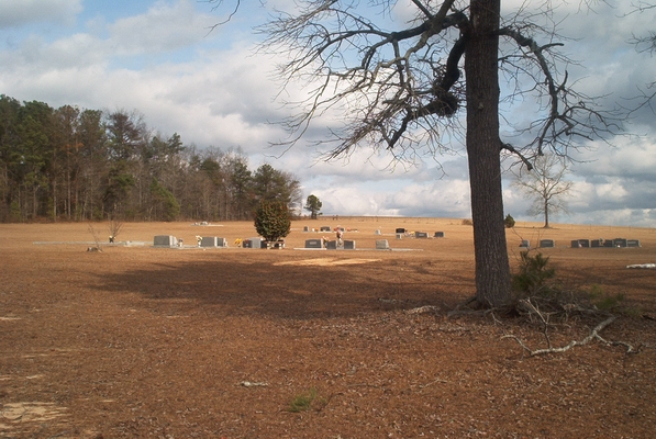
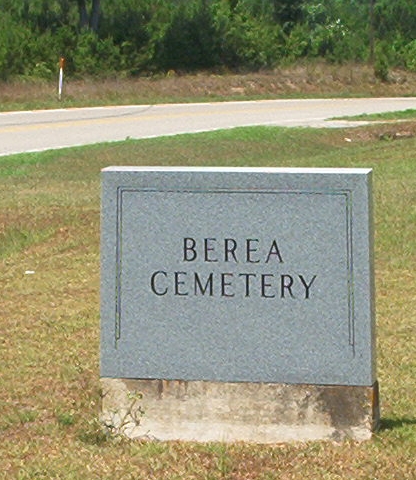
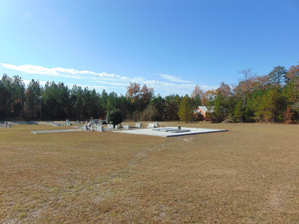
| Location | : | Panola, Crenshaw County, USA |
| Coordinate | : | 31.9643993, -86.3435974 |
| Description | : | On County Road 4, between Highland Home and Panola. |
frequently asked questions (FAQ):
-
Where is Berea Church of Christ Cemetery?
Berea Church of Christ Cemetery is located at Panola, Crenshaw County ,Alabama ,USA.
-
Berea Church of Christ Cemetery cemetery's updated grave count on graveviews.com?
0 memorials
-
Where are the coordinates of the Berea Church of Christ Cemetery?
Latitude: 31.9643993
Longitude: -86.3435974


Nearby Cemetories:
1. Rocky Mount Cemetery
Highland Home, Crenshaw County, USA
Coordinate: 31.9655991, -86.3116989
2. Cauthens Cemetery
Highland Home, Crenshaw County, USA
Coordinate: 31.9377995, -86.3336029
3. New Ebeneezer Baptist Church Cemetery
Highland Home, Crenshaw County, USA
Coordinate: 31.9242001, -86.3535995
4. Sugar Ridge Church Cemetery
Magnolia Shores, Crenshaw County, USA
Coordinate: 31.9509830, -86.2974050
5. New Hope Baptist Church Cemetery
Montgomery, Montgomery County, USA
Coordinate: 31.9758700, -86.2943040
6. Panola Cemetery
Panola, Crenshaw County, USA
Coordinate: 31.9633007, -86.3957977
7. Cool Spring Primitive Baptist Church Cemetery
Panola, Crenshaw County, USA
Coordinate: 31.9489590, -86.4003960
8. Fair Prospect Cemetery
Naftel, Montgomery County, USA
Coordinate: 32.0111008, -86.2891998
9. Salem Church Of Christ Cemetery
Danielsville, Crenshaw County, USA
Coordinate: 31.9040390, -86.3783710
10. Sardis Cemetery
Magnolia Shores, Crenshaw County, USA
Coordinate: 31.9013996, -86.3153000
11. Danielville Baptist Church Cemetery
Danielsville, Crenshaw County, USA
Coordinate: 31.9205380, -86.4070410
12. Buck's Graveyard
Sardis, Crenshaw County, USA
Coordinate: 31.8967300, -86.3128900
13. Mount Olive Missionary Baptist Church Cemetery
Clearview, Crenshaw County, USA
Coordinate: 32.0326580, -86.3748830
14. Flatwoods Church of Christ Cemetery
Lowndes County, USA
Coordinate: 31.9795590, -86.4306020
15. Armstrong Cemetery
Crenshaw County, USA
Coordinate: 32.0344009, -86.3796997
16. Rockdale Missionary Baptist Church Cemetery
Crenshaw County, USA
Coordinate: 31.9630520, -86.2511180
17. Old Philadelphia Cemetery
Lapine, Montgomery County, USA
Coordinate: 31.9675007, -86.2510986
18. Hillside Missionary Baptist Church Cemetery
Crenshaw County, USA
Coordinate: 32.0386200, -86.3823800
19. Dry Cemetery
Crenshaw County, USA
Coordinate: 31.8924999, -86.3974991
20. Hudson Cemetery
Crenshaw County, USA
Coordinate: 31.9368992, -86.2474976
21. Magnolia Baptist Church Cemetery
Clearview, Crenshaw County, USA
Coordinate: 32.0454580, -86.3845160
22. El Bethel Christian Church Cemetery
Bradleyton, Crenshaw County, USA
Coordinate: 31.8954080, -86.2769350
23. Bethlehem Primitive Baptist Church Cemetery
Lapine, Montgomery County, USA
Coordinate: 32.0556810, -86.3431840
24. Old Saville Churchyard Cemetery
Saville, Crenshaw County, USA
Coordinate: 31.8717390, -86.3356370