
| Memorials | : | 0 |
| Location | : | High Hickory, Hart County, USA |
| Coordinate | : | 37.4392014, -85.8918991 |
| Description | : | This is a very small, rural cemetery next to Leesville Cemetery, Hart County, Kentucky, USA. |
frequently asked questions (FAQ):
-
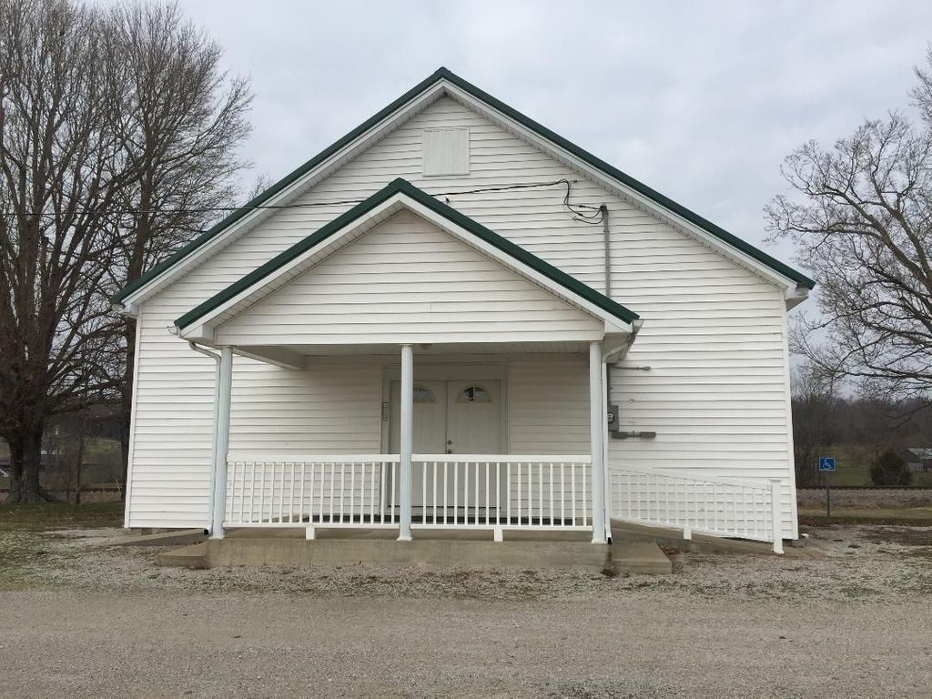
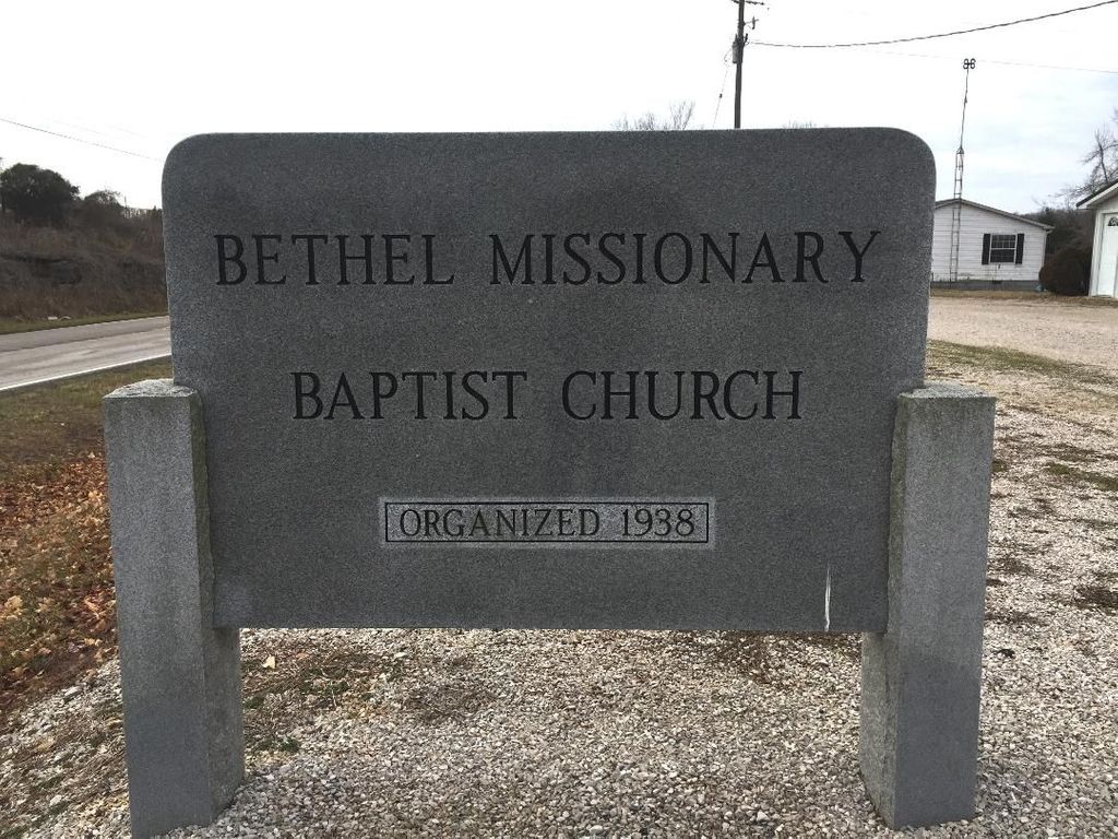
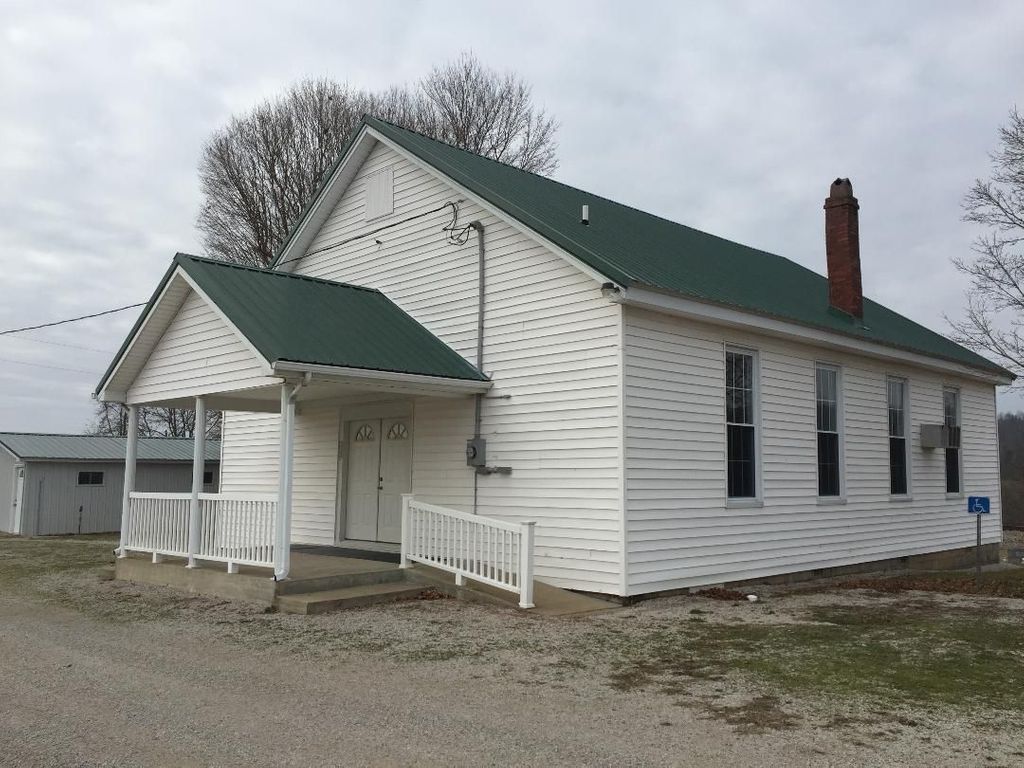
Where is Bethel Missionary Baptist Church Cemetery?
Bethel Missionary Baptist Church Cemetery is located at 31W (S. Walnut Street), south of Upton, Hart County, Kentucky, USA High Hickory, Hart County ,Kentucky ,USA.
-
Bethel Missionary Baptist Church Cemetery cemetery's updated grave count on graveviews.com?
0 memorials
-
Where are the coordinates of the Bethel Missionary Baptist Church Cemetery?
Latitude: 37.4392014
Longitude: -85.8918991
Nearby Cemetories:
1. Leesville Cemetery
Hart County, USA
Coordinate: 37.4392014, -85.8918991
2. Upton Cemetery
Upton, Hardin County, USA
Coordinate: 37.4615900, -85.8921100
3. Upton Colored Cemetery
Upton, Hardin County, USA
Coordinate: 37.4650002, -85.8933334
4. Jameson-Wyatt-Arnett Cemetery
Bonnieville, Hart County, USA
Coordinate: 37.4130240, -85.8964760
5. Upton Family Cemetery
Upton, Hardin County, USA
Coordinate: 37.4594000, -85.9211000
6. Big Springs Cemetery
Upton, Hardin County, USA
Coordinate: 37.4693985, -85.9057999
7. Hodge Cemetery
Hart County, USA
Coordinate: 37.4146996, -85.8553009
8. Quinn Cemetery
Bonnieville, Hart County, USA
Coordinate: 37.3954310, -85.9039170
9. Brashear Cemetery
Upton, Hardin County, USA
Coordinate: 37.4789009, -85.9269028
10. McCandless Cemetery
LaRue County, USA
Coordinate: 37.4822006, -85.8585968
11. Brackett Cemetery
Hardin County, USA
Coordinate: 37.4516983, -85.9574966
12. Memory Park Cemetery
Bonnieville, Hart County, USA
Coordinate: 37.3820690, -85.9007380
13. Weldon Cemetery
Bonnieville, Hart County, USA
Coordinate: 37.3835790, -85.9235330
14. Cleaver
Upton, Hardin County, USA
Coordinate: 37.4494080, -85.9696730
15. Sandy Creek Cemetery
Hardin County, USA
Coordinate: 37.4865825, -85.9435992
16. Bonnieville Catholic Cemetery
Bonnieville, Hart County, USA
Coordinate: 37.3704720, -85.9058850
17. Gaddie Cemetery
Bonnieville, Hart County, USA
Coordinate: 37.4015270, -85.8163790
18. Oak Hill Baptist Cemetery
LaRue County, USA
Coordinate: 37.4703360, -85.8066630
19. Camp Ground Cemetery
Bonnieville, Hart County, USA
Coordinate: 37.3753014, -85.9417038
20. John A Hodges Cemetery
Bonnieville, Hart County, USA
Coordinate: 37.3646320, -85.8791920
21. Mount Vernon Cemetery
Bonnieville, Hart County, USA
Coordinate: 37.3656490, -85.9150230
22. Hammondsville Cemetery
Hart County, USA
Coordinate: 37.4160000, -85.7974000
23. Joey Mabe Farm Cemetery
Sonora, Hardin County, USA
Coordinate: 37.4917563, -85.9654822
24. Three Forks Baptist Church Cemetery
Hammonville, Hart County, USA
Coordinate: 37.4159800, -85.7971600