
| Memorials | : | 2 |
| Location | : | Bethel Acres, Pottawatomie County, USA |
| Coordinate | : | 35.3050500, -97.0275300 |
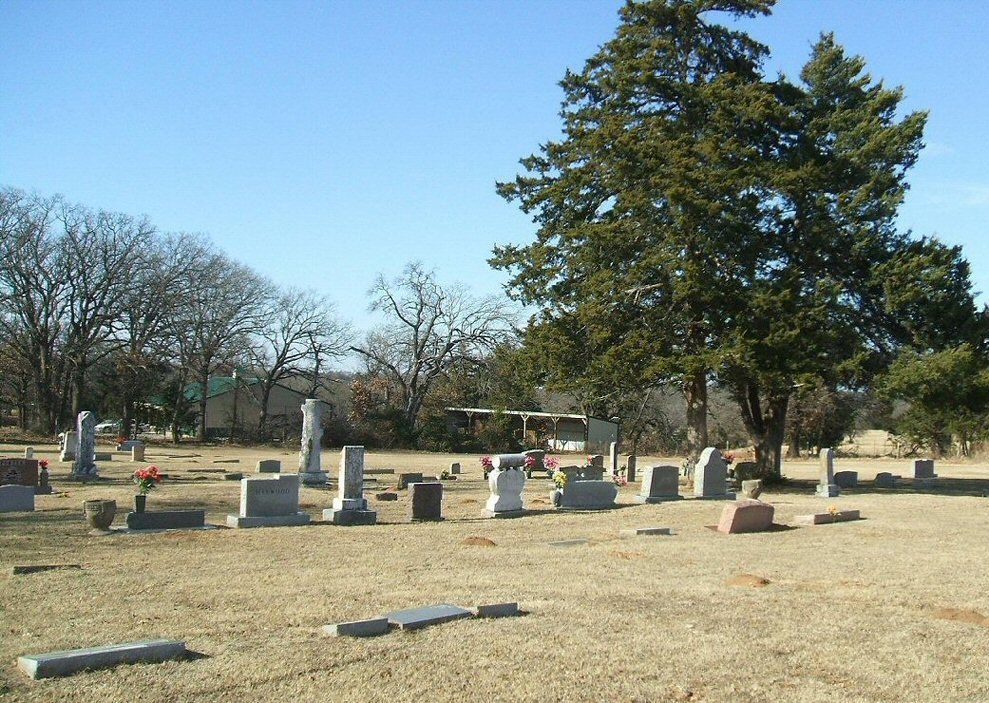
| Description | : | Bethel United Methodist Church Cemetery was created from a land donation from the Knight family. The cemetery is one of two located within 75 yards of each other. Both cemeteries are sometimes casually refereed to as "the Bethel Cemetery" by various funeral homes and newspapers, but that is not accurate. The Bethel United Methodist Church Cemetery is located behind the Bethel United Methodist Church on the North side of Hardesty road. The other cemetery is the Hopewell Cemetery located across the street on the South side of Hardesty road. |
frequently asked questions (FAQ):
-
Where is Bethel United Methodist Church Cemetery?
Bethel United Methodist Church Cemetery is located at Bethel Acres, Pottawatomie County ,Oklahoma ,USA.
-
Bethel United Methodist Church Cemetery cemetery's updated grave count on graveviews.com?
2 memorials
-
Where are the coordinates of the Bethel United Methodist Church Cemetery?
Latitude: 35.3050500
Longitude: -97.0275300
Nearby Cemetories:
1. Hopewell Cemetery
Bethel Acres, Pottawatomie County, USA
Coordinate: 35.3041100, -97.0275400
2. Blackburn Chapel Cemetery
Bethel Acres, Pottawatomie County, USA
Coordinate: 35.3330000, -97.0121000
3. New Hope Cemetery
Tecumseh, Pottawatomie County, USA
Coordinate: 35.2759000, -96.9917000
4. Brown Family Cemetery
Shawnee, Pottawatomie County, USA
Coordinate: 35.3039200, -97.0813800
5. Plantz Family Cemetery
Bethel Acres, Pottawatomie County, USA
Coordinate: 35.2752650, -97.0711610
6. Brown Cemetery
Bethel Acres, Pottawatomie County, USA
Coordinate: 35.2613983, -97.0627975
7. Ray Cemetery
Pottawatomie County, USA
Coordinate: 35.3182600, -97.1075600
8. Black Cemetery
Pink, Pottawatomie County, USA
Coordinate: 35.2752991, -97.1069031
9. Calvary Cemetery
Shawnee, Pottawatomie County, USA
Coordinate: 35.3509760, -96.9595490
10. Kaskuske Family Cemetery
Shawnee, Pottawatomie County, USA
Coordinate: 35.3747400, -97.0049400
11. Byers Family Cemetery
Shawnee, Pottawatomie County, USA
Coordinate: 35.2316000, -97.0127000
12. Oak Grove Cemetery #2
Pottawatomie County, USA
Coordinate: 35.2317920, -96.9988380
13. Dale Cemetery
Dale, Pottawatomie County, USA
Coordinate: 35.3772011, -97.0618973
14. Citizen Potawatomi Nation Cemetery
Shawnee, Pottawatomie County, USA
Coordinate: 35.2979180, -96.9292110
15. Tecumseh Cemetery
Tecumseh, Pottawatomie County, USA
Coordinate: 35.2927800, -96.9263200
16. Saint Gregory's Abbey Cemetery
Shawnee, Pottawatomie County, USA
Coordinate: 35.3669440, -96.9532800
17. Mack Family Cemetery
Pottawatomie County, USA
Coordinate: 35.2327000, -97.0892000
18. Emmanuel Episcopal Church Columbarium
Shawnee, Pottawatomie County, USA
Coordinate: 35.3327000, -96.9235000
19. Highland Cemetery
Pink, Pottawatomie County, USA
Coordinate: 35.2178001, -97.0539017
20. Mount Zion Cemetery
Pottawatomie County, USA
Coordinate: 35.2174260, -97.0636430
21. Watson Family Cemetery
Pink, Pottawatomie County, USA
Coordinate: 35.2425700, -97.1158800
22. Absentee Shawnee Tribal Cemetery
Pottawatomie County, USA
Coordinate: 35.2461000, -97.1204000
23. Centerville Cemetery
Pottawatomie County, USA
Coordinate: 35.4007988, -96.9997025
24. Fairview Cemetery
Shawnee, Pottawatomie County, USA
Coordinate: 35.3436300, -96.9078400