| Memorials | : | 1 |
| Location | : | Graham, Randolph County, USA |
| Coordinate | : | 33.4752680, -85.3313260 |
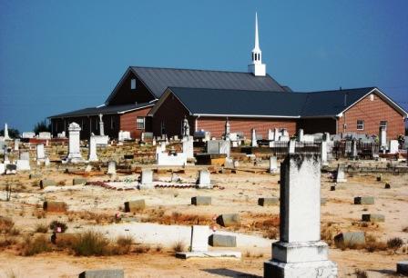
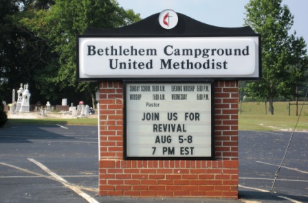
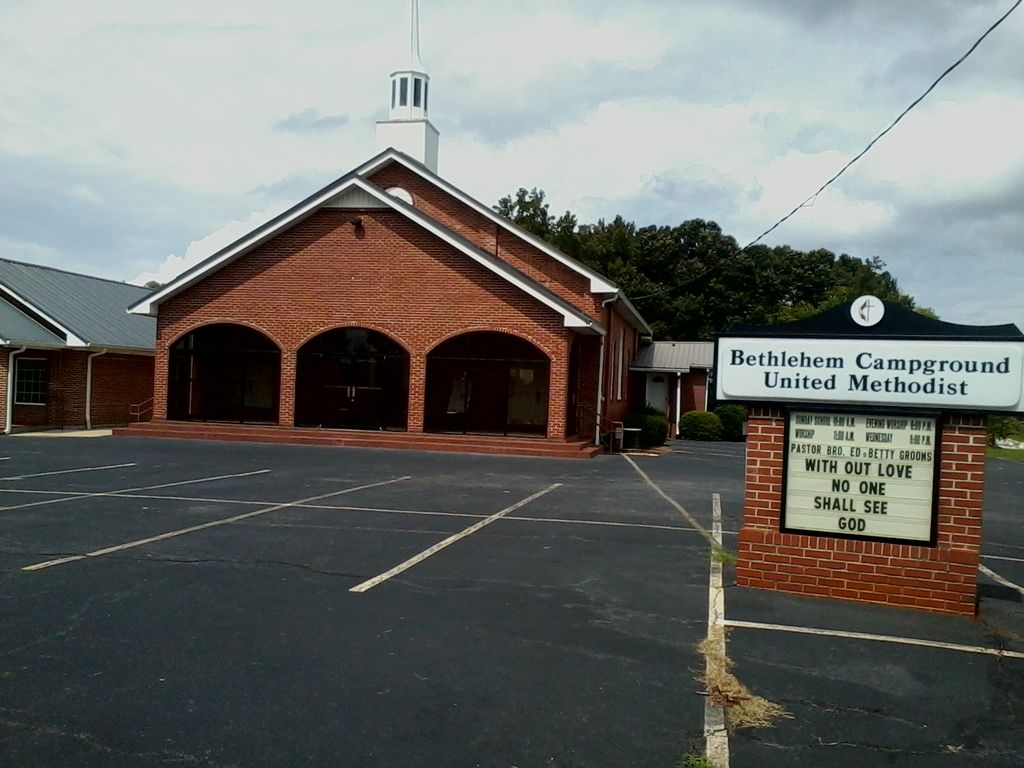
| Description | : | Originally called the Old Brockville Camp Ground – Bethlehem Methodist Church was established in 1852. Many of the settlers were pioneers from Virginia, Carolinas, and the Indian Lands of Georgia. This cemetery is fairly large, having several sections, Section III being an African American section. On the survey performed in 1991, there was a total of 258 unmarked graves in Section 1 alone. Section III has an indeterminate amount of unmarked graves. Cemetery is well kept and maintained. Directions: From I-20 in Georgia: I-20 West towards Birmingham. Take Exit 5 GA-100 South. Continue on GA-100 S to Bowden. In Bowden, turn right onto GA-166... Read More |
frequently asked questions (FAQ):
-
Where is Bethlehem Campground United Methodist Cemetery?
Bethlehem Campground United Methodist Cemetery is located at Graham, Randolph County ,Alabama ,USA.
-
Bethlehem Campground United Methodist Cemetery cemetery's updated grave count on graveviews.com?
1 memorials
-
Where are the coordinates of the Bethlehem Campground United Methodist Cemetery?
Latitude: 33.4752680
Longitude: -85.3313260
Nearby Cemetories:
1. Bethena Church Cemetery
Randolph County, USA
Coordinate: 33.4594002, -85.3411026
2. Shiloh Baptist Church Cemetery
Randolph County, USA
Coordinate: 33.4575530, -85.3229580
3. Saint James New Beginning Church Cemetery
Graham, Randolph County, USA
Coordinate: 33.4552224, -85.3094125
4. Old Shiloh Church Cemetery
Graham, Randolph County, USA
Coordinate: 33.4488983, -85.3488998
5. Buchanan Cemetery
Bowdon, Carroll County, USA
Coordinate: 33.4713900, -85.2941600
6. Faith Christian Worship Center Cemetery
Bowdon, Carroll County, USA
Coordinate: 33.4592220, -85.2951070
7. New Covenant Church of God Cemetery
Carroll County, USA
Coordinate: 33.4592018, -85.2947006
8. Midway Community Church Cemetery
Bowdon, Carroll County, USA
Coordinate: 33.4947014, -85.2861023
9. Gold Ridge Baptist Church Cemetery
Randolph County, USA
Coordinate: 33.4884200, -85.3861500
10. Bethlehem Primitive Baptist Church Cemetery
Bowdon, Carroll County, USA
Coordinate: 33.4930992, -85.2778015
11. Sandy Flat Cemetery
Bowdon, Carroll County, USA
Coordinate: 33.5175018, -85.3007965
12. Ranburne First Baptist Church Cemetery
Ranburne, Cleburne County, USA
Coordinate: 33.5239983, -85.3452988
13. Mount Olive Cemetery
Carroll County, USA
Coordinate: 33.4561300, -85.2750700
14. Sardis Baptist Church Cemetery
Carroll County, USA
Coordinate: 33.4427986, -85.2833023
15. Corinth Missionary Baptist Church Cemetery
Bowdon, Carroll County, USA
Coordinate: 33.5017014, -85.2761002
16. Pine Hill Christian Church Cemetery
Randolph County, USA
Coordinate: 33.4629700, -85.4025500
17. Daniel-McDow Cemetery
Graham, Randolph County, USA
Coordinate: 33.4088000, -85.3214800
18. Stewart Cemetery
Carrollton, Carroll County, USA
Coordinate: 33.4654230, -85.2480700
19. Cleburne Memorial Gardens
Union Hill, Cleburne County, USA
Coordinate: 33.5367012, -85.3732986
20. Pine Hill Church of Christ Cemetery
Randolph County, USA
Coordinate: 33.4460600, -85.4085100
21. Hudson Cemetery
Bowdon, Carroll County, USA
Coordinate: 33.5134500, -85.2598300
22. Corinth Cemetery
Ranburne, Cleburne County, USA
Coordinate: 33.5466995, -85.3478012
23. McLeod Family Cemetery
Randolph County, USA
Coordinate: 33.4598700, -85.4200700
24. Bowdon Community Cemetery
Bowdon, Carroll County, USA
Coordinate: 33.5220990, -85.2599410


