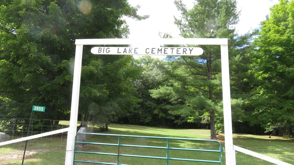
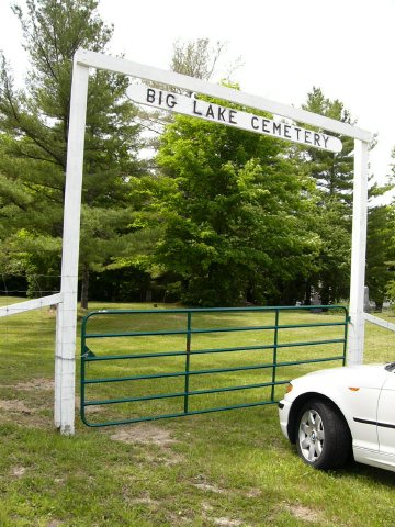
| Memorials | : | 80 |
| Location | : | Manitoulin, Manitoulin District, Canada |
| Coordinate | : | 45.7457500, -82.0575900 |
| Description | : | On the 23 of August 1883 a tract of land 13 rods square was granted to the Trustees of Bethel Congregation of the Methodist Church of Canada for the purpose of the Big Lake Cemetery. The land was situated on part of Lot 19, Concession 8 at Big Lake in the Township of Sandfield. This parcel of land was purchased from an early settler, Henry Trowbridge for the sum of Ten Dollars. The land was cleared by the early settlers including Charles Moody and his team of Oxen. The first trustees,all from the Township of Sandfield were Josiah Johnston, A.I. Brown, Thomas... Read More |
frequently asked questions (FAQ):
-
Where is Big Lake Cemetery?
Big Lake Cemetery is located at Hwy 542 Manitoulin, Manitoulin District ,Ontario ,Canada.
-
Big Lake Cemetery cemetery's updated grave count on graveviews.com?
80 memorials
-
Where are the coordinates of the Big Lake Cemetery?
Latitude: 45.7457500
Longitude: -82.0575900
Nearby Cemetories:
1. Mindemoya Cemetery
Mindemoya, Manitoulin District, Canada
Coordinate: 45.7473100, -82.1928000
2. Fairview Cemetery
Tehkummah, Manitoulin District, Canada
Coordinate: 45.6564280, -82.0034580
3. M'Chigeeng Cemetery
West Bay, Manitoulin District, Canada
Coordinate: 45.8163400, -82.1601200
4. Green Bay United Church Cemetery
Manitoulin, Manitoulin District, Canada
Coordinate: 45.8603520, -82.0223110
5. Cold Springs Cemetery
Cold Springs, Manitoulin District, Canada
Coordinate: 45.8595060, -82.1087820
6. Hilly Grove Cemetery
Hilly Grove, Manitoulin District, Canada
Coordinate: 45.6789600, -81.8764700
7. Providence Bay Cemetery
Providence Bay, Manitoulin District, Canada
Coordinate: 45.6728600, -82.2664600
8. Sheguiandah Reserve Cemetery
Sheguiandah, Manitoulin District, Canada
Coordinate: 45.8809640, -81.9049780
9. St. Paul's Anglican Cemetery
Manitowaning, Manitoulin District, Canada
Coordinate: 45.7447912, -81.8061589
10. Elm View Cemetery
Howland, Manitoulin District, Canada
Coordinate: 45.9045270, -81.9204550
11. Grimesthorpe Cemetery
Grimsthorpe, Manitoulin District, Canada
Coordinate: 45.7098120, -82.3246620
12. Buzwah Cemetery
Buzwah, Manitoulin District, Canada
Coordinate: 45.7660100, -81.7644500
13. Kagawong Cedars Cemetery
Kagawong, Manitoulin District, Canada
Coordinate: 45.9089600, -82.2568300
14. Sucker Creek Cemetery
Sucker Creek, Manitoulin District, Canada
Coordinate: 45.9604060, -81.9764140
15. Mountain View Cemetery
Little Current, Manitoulin District, Canada
Coordinate: 45.9604400, -81.9523100
16. Long Bay Cemetery
Long Bay, Manitoulin District, Canada
Coordinate: 45.8056680, -82.3795380
17. Holy Trinity Anglican Cemetery
Little Current, Manitoulin District, Canada
Coordinate: 45.9677590, -81.9439240
18. St. Bernard's Catholic Cemetery
Little Current, Manitoulin District, Canada
Coordinate: 45.9789170, -81.9596700
19. Gordon Cemetery
Gordon, Manitoulin District, Canada
Coordinate: 45.8757300, -82.4724300
20. Burpee Mills Cemetery
Burpee and Mills, Manitoulin District, Canada
Coordinate: 45.7685100, -82.5328800
21. Birch Island Cemetery
Birch Island, Manitoulin District, Canada
Coordinate: 46.0676300, -81.7714000
22. Whitefish River First Nation Cemetery
Birch Island, Manitoulin District, Canada
Coordinate: 46.0676300, -81.7714000
23. Sagamok New Cemetery
Sagamok, Algoma District, Canada
Coordinate: 46.1582040, -82.1007238
24. Spanish River First Nations Cemetery
Massey, Sudbury District, Canada
Coordinate: 46.1701900, -82.1068600


