| Memorials | : | 0 |
| Location | : | Tappen, Kidder County, USA |
| Coordinate | : | 47.0224080, -99.6288710 |
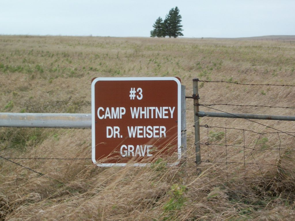
| Description | : | "More than one hundred years later, the battlefield is now quiet farmland with scant evidence of the conflict. The place where Dr. Weiser was killed is marked by a stone fence and granite headstone mounted on a boulder." Their webpage is at http://history.nd.gov/historicsites/sibleysully/bmb.html However, the Camp Whitney site http://history.nd.gov/historicsites/sibleysully/whitney.html also speaks of the burials being at that location. An attempt will be made to clarify this matter. |
frequently asked questions (FAQ):
-
Where is Big Mound Battlefield State Historic Site?
Big Mound Battlefield State Historic Site is located at 27th Street SE Tappen, Kidder County ,North Dakota , 58487USA.
-
Big Mound Battlefield State Historic Site cemetery's updated grave count on graveviews.com?
0 memorials
-
Where are the coordinates of the Big Mound Battlefield State Historic Site?
Latitude: 47.0224080
Longitude: -99.6288710
Nearby Cemetories:
1. Buckeye Lutheran Cemetery
Tappen, Kidder County, USA
Coordinate: 46.9950600, -99.6710000
2. Weiser Cemetery
Kidder County, USA
Coordinate: 47.0430984, -99.5646973
3. Fairview Cemetery
Lake Williams, Kidder County, USA
Coordinate: 47.0816803, -99.6518784
4. Pettibone Bethlehem Cemetery
Pettibone, Kidder County, USA
Coordinate: 47.1102982, -99.5239029
5. Saint Marys Cemetery
Lake Williams, Kidder County, USA
Coordinate: 47.1357500, -99.6127300
6. Fisher Cemetery
Tappen, Kidder County, USA
Coordinate: 46.8941994, -99.6374969
7. Bethany Cemetery
Robinson, Kidder County, USA
Coordinate: 47.1392300, -99.7351000
8. Tappen Cemetery
Tappen, Kidder County, USA
Coordinate: 46.8783000, -99.6375000
9. Kleve Cemetery
Robinson, Kidder County, USA
Coordinate: 47.1112800, -99.8404200
10. Dawson Cemetery
Kidder County, USA
Coordinate: 46.8642006, -99.7200012
11. Crystal Springs Cemetery
Crystal Springs, Kidder County, USA
Coordinate: 46.8709590, -99.4541220
12. Allen Cemetery
Kidder County, USA
Coordinate: 46.9155998, -99.8647003
13. Evangelical German Lutheran Zion Cemetery
Pettibone, Kidder County, USA
Coordinate: 47.2192840, -99.5867090
14. Seventh Day Adventist Cemetery
Robinson, Kidder County, USA
Coordinate: 47.2129500, -99.7148400
15. Petersville Cemetery
Kidder County, USA
Coordinate: 47.2264000, -99.5443000
16. Gem Cemetery
Woodworth, Stutsman County, USA
Coordinate: 47.1306000, -99.3339005
17. Woodlawn Cemetery
Steele, Kidder County, USA
Coordinate: 46.8806000, -99.9094009
18. Seventh Day Adventist Cemetery
Pettibone, Kidder County, USA
Coordinate: 47.2555350, -99.5219330
19. Liberty Cemetery
Kidder County, USA
Coordinate: 46.7846985, -99.7110977
20. Koestler Cemetery
Tappen, Kidder County, USA
Coordinate: 46.7845600, -99.7112000
21. Holy Cross Cemetery
Tuttle, Kidder County, USA
Coordinate: 47.1408005, -99.9464035
22. Skudesness Lutheran Cemetery
Kidder County, USA
Coordinate: 47.0466995, -100.0072021
23. Holy Cross Cemetery
Steele, Kidder County, USA
Coordinate: 46.8463400, -99.9115500
24. Medina Cemetery
Medina, Stutsman County, USA
Coordinate: 46.8870700, -99.3007700

