
| Memorials | : | 0 |
| Location | : | Butler County, USA |
| Coordinate | : | 31.6969700, -86.8928800 |
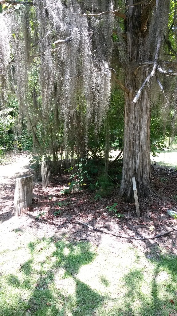
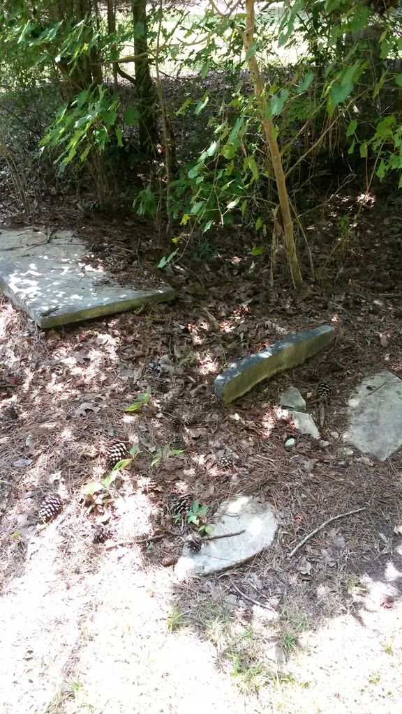
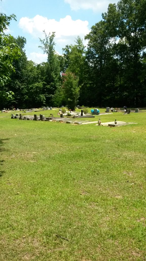
| Description | : | According to the pastor of Big Pine Level Church, this cemetery has both white and African Americans buried in it, in two different seections. The cemetery is located at the end of Gandy Loop Road, where he says the church used to stand. The church is now located a short drive away on the opposite side of HWY 106. This is also the site of the original, or, "old" Bethel Church Cemetery. (Bethel West Cemetery is nearby.) When Bethel moved, they may have given the old location to Big Pine Level, which explains why there are white people from the 1800's... Read More |
frequently asked questions (FAQ):
-
Where is Big Pine Level Missionary Baptist Church Cemetery?
Big Pine Level Missionary Baptist Church Cemetery is located at Gandy Loop Road Butler County ,Alabama ,USA.
-
Big Pine Level Missionary Baptist Church Cemetery cemetery's updated grave count on graveviews.com?
0 memorials
-
Where are the coordinates of the Big Pine Level Missionary Baptist Church Cemetery?
Latitude: 31.6969700
Longitude: -86.8928800
Nearby Cemetories:
1. Old Bethel West Cemetery
Georgiana, Butler County, USA
Coordinate: 31.6972020, -86.8928570
2. Bethel West Cemetery
Bethel, Conecuh County, USA
Coordinate: 31.7017002, -86.9152985
3. Mount Pisgah Baptist Church Cemetery
Butler County, USA
Coordinate: 31.7199993, -86.8600006
4. Pleasant Hill Baptist Church Cemetery
Butler County, USA
Coordinate: 31.6607240, -86.9032290
5. Springhill Missionary Baptist Church Cemetery
Butler County, USA
Coordinate: 31.6471710, -86.8736600
6. Salem Cemetery
Midway, Monroe County, USA
Coordinate: 31.7528000, -86.9111023
7. First Mount Zion Baptist Church Cemetery
Conecuh County, USA
Coordinate: 31.6599020, -86.9515420
8. Hey Buck Cemetery
Starlington, Butler County, USA
Coordinate: 31.7242200, -86.8239480
9. New Hope Baptist Church Cemetery
Mixonville, Conecuh County, USA
Coordinate: 31.6582139, -86.9538678
10. Middleton Cemetery
Monroe County, USA
Coordinate: 31.7341995, -86.9552994
11. Providence Cemetery
Georgiana, Butler County, USA
Coordinate: 31.7230630, -86.8227670
12. Stamps Cemetery
Georgiana, Butler County, USA
Coordinate: 31.6592007, -86.8285980
13. Concord Cemetery
Mixonville, Conecuh County, USA
Coordinate: 31.6341991, -86.9278030
14. Loves Way Cemetery
Georgiana, Butler County, USA
Coordinate: 31.7430050, -86.8269540
15. Mixonville Community Church Cemetery
Mixonville, Conecuh County, USA
Coordinate: 31.6323400, -86.9379000
16. Mount Olive West Baptist Church Cemetery
Grace, Butler County, USA
Coordinate: 31.6105995, -86.8807983
17. Joyner Cemetery
Owassa, Conecuh County, USA
Coordinate: 31.6107998, -86.9235992
18. Shackleville Cemetery
Butler County, USA
Coordinate: 31.7761002, -86.8339005
19. Asbury Methodist Church Cemetery
Conecuh County, USA
Coordinate: 31.7127991, -87.0028000
20. Morrow School House Cemetery
Georgiana, Butler County, USA
Coordinate: 31.6599998, -86.7842026
21. Bransford Cemetery
Georgiana, Butler County, USA
Coordinate: 31.6397220, -86.7911110
22. Reeves Cemetery
Lyeffion, Conecuh County, USA
Coordinate: 31.6196170, -86.9795000
23. Butler Springs Cemetery
Butler Springs, Butler County, USA
Coordinate: 31.8011300, -86.8635400
24. Bethlehem Cemetery
Monroe County, USA
Coordinate: 31.7646999, -86.9906006