
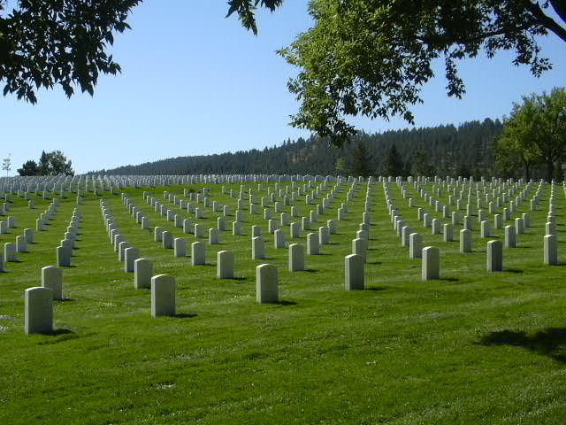
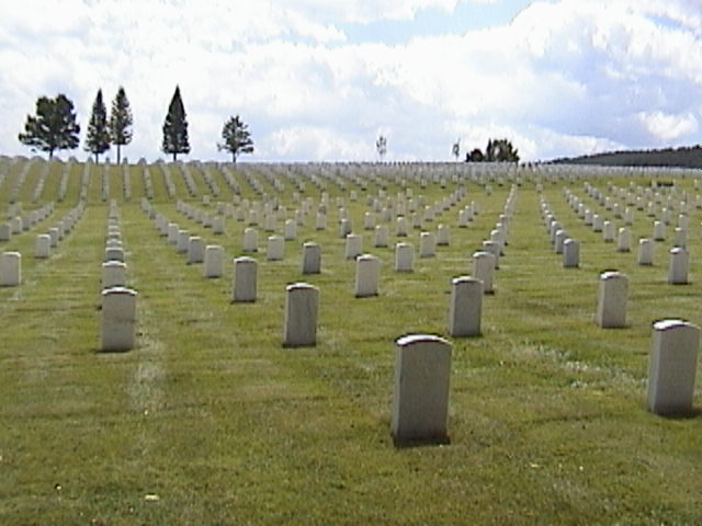
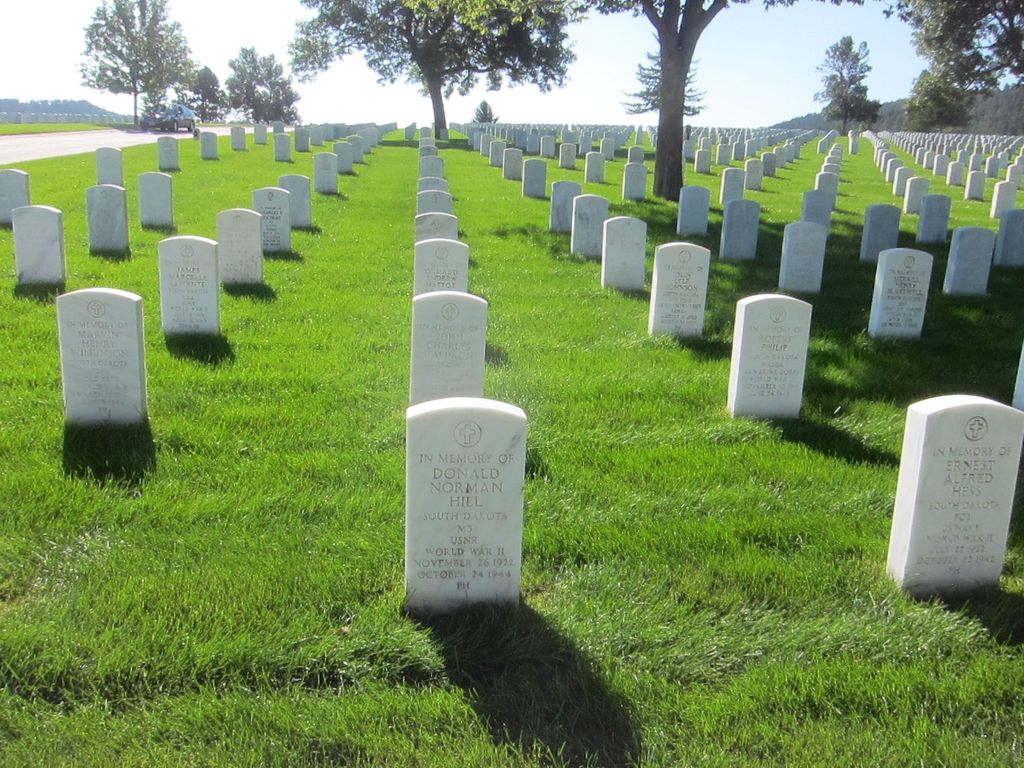
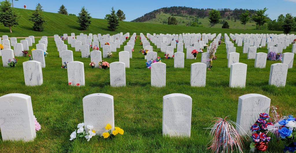
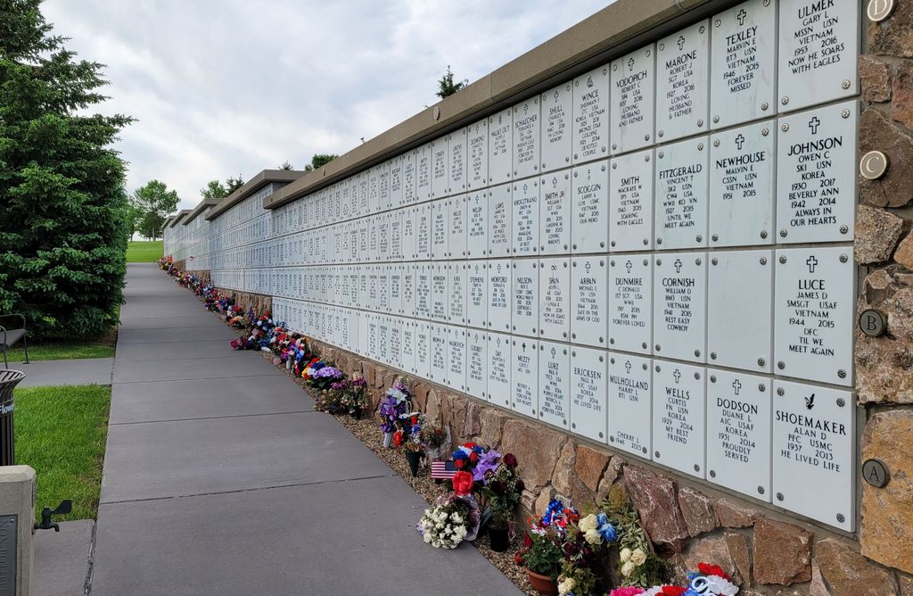
| Memorials | : | 10849 |
| Location | : | Sturgis, Meade County, USA |
| Phone | : | 605-347-3830 |
| Coordinate | : | 44.3689003, -103.4753036 |
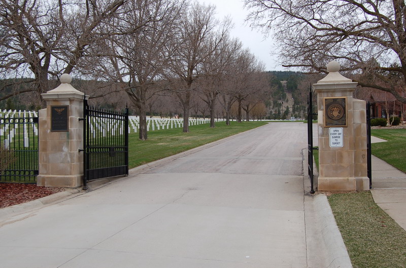
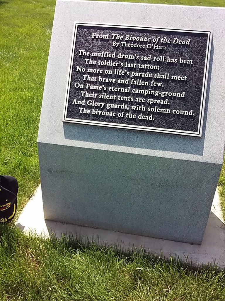
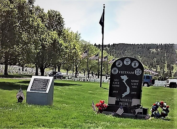
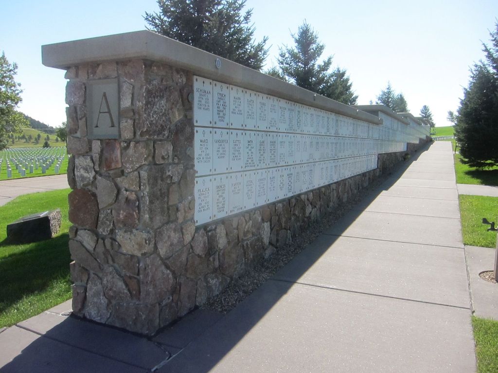
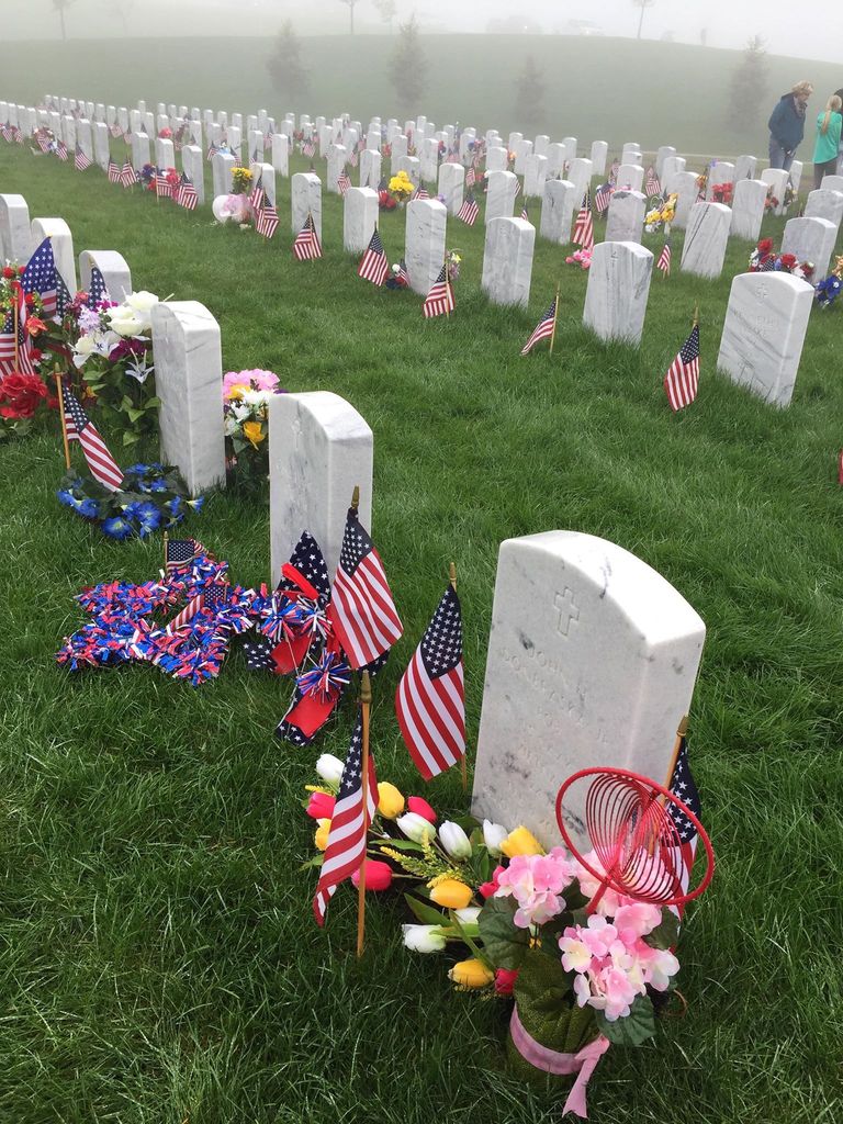
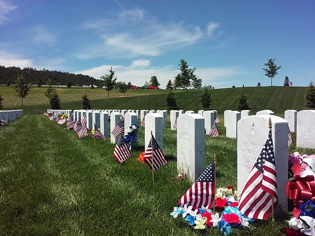
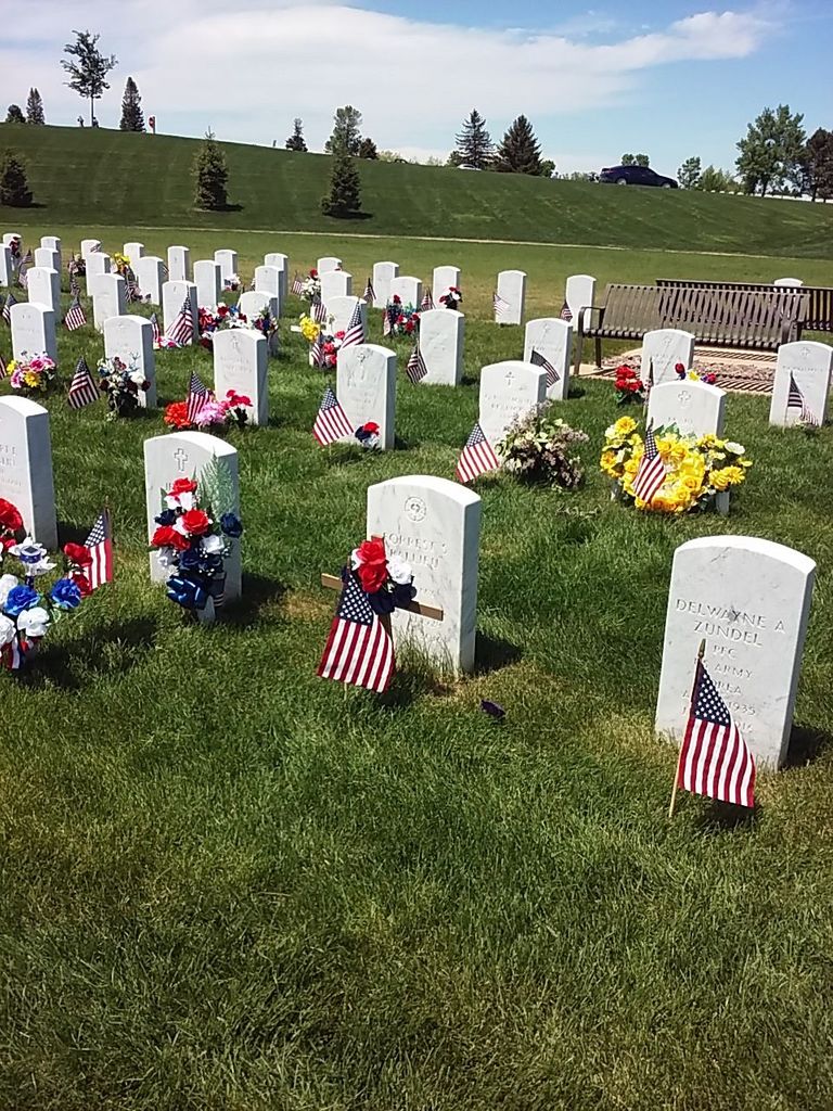
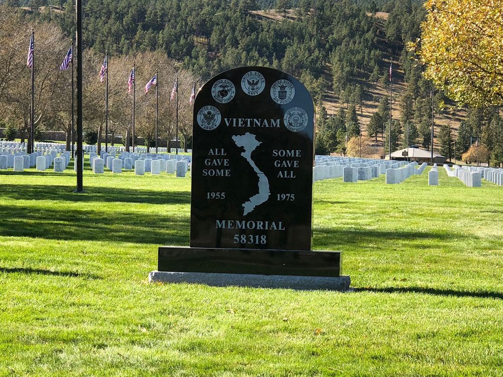
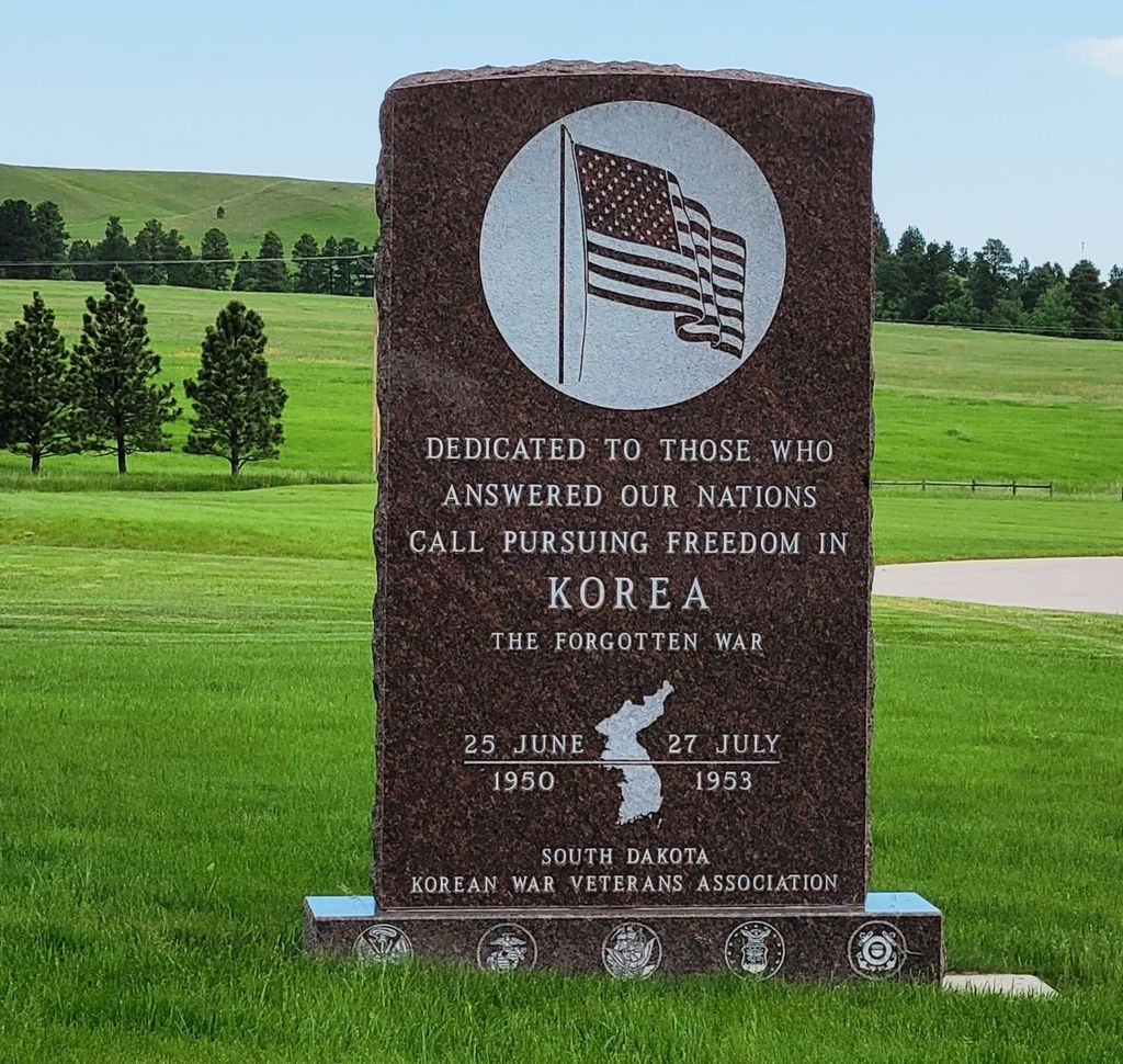
| Description | : | FAX: 605-347-0269 In the late 19th and early 20th centuries, new railroads were laid across the Dakotas and aided in the development of numerous communities. In 1890, Pierre was chosen as the permanent capital of South Dakota. Twelve years later, in 1902, the Battle Mountain Sanitarium was established in nearby Hot Springs to aid in the care of veterans within the region. Cemeteries at both the Fort Meade Military Reservation and the former sanitarium eventually became a part of the National Cemetery System in 1973. Monuments and Memorials In 1990, a memorial carillon was dedicated at the cemetery. It was... Read More |
frequently asked questions (FAQ):
-
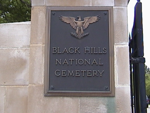
Where is Black Hills National Cemetery?
Black Hills National Cemetery is located at 20901 Pleasant Valley Drive Sturgis, Meade County ,South Dakota , 57785USA.
-
Black Hills National Cemetery cemetery's updated grave count on graveviews.com?
10772 memorials
-
Where are the coordinates of the Black Hills National Cemetery?
Latitude: 44.3689003
Longitude: -103.4753036


Nearby Cemetories:
1. Curley Grimes Memorial Cemetery
Sturgis, Meade County, USA
Coordinate: 44.3764500, -103.4691300
2. Fort Meade National Cemetery
Sturgis, Meade County, USA
Coordinate: 44.4021988, -103.4757996
3. Bear Butte Cemetery
Sturgis, Meade County, USA
Coordinate: 44.4111595, -103.4947968
4. Saint Aloysius Cemetery
Sturgis, Meade County, USA
Coordinate: 44.4141340, -103.5193420
5. Pleasant Valley Cemetery
Tilford, Meade County, USA
Coordinate: 44.3192500, -103.3531160
6. Galena Cemetery
Galena, Lawrence County, USA
Coordinate: 44.3349220, -103.6438410
7. Crook City Cemetery
Crook City, Lawrence County, USA
Coordinate: 44.4432100, -103.6241500
8. Piedmont Cemetery
Piedmont, Meade County, USA
Coordinate: 44.2425780, -103.3871730
9. Oak Ridge Cemetery
Deadwood, Lawrence County, USA
Coordinate: 44.3891983, -103.6766968
10. Whitewood Cemetery
Whitewood, Lawrence County, USA
Coordinate: 44.4617820, -103.6330030
11. Roubaix Cemetery
Roubaix, Lawrence County, USA
Coordinate: 44.2789380, -103.6656600
12. Mount Moriah Cemetery
Deadwood, Lawrence County, USA
Coordinate: 44.3760986, -103.7253036
13. Saint Ambrose Cemetery
Deadwood, Lawrence County, USA
Coordinate: 44.3821983, -103.7266998
14. Nemo Cemetery
Nemo, Lawrence County, USA
Coordinate: 44.1872800, -103.5066410
15. Anderson Cemetery
Lawrence County, USA
Coordinate: 44.4747009, -103.6896973
16. South Lead Cemetery
Lead, Lawrence County, USA
Coordinate: 44.3478510, -103.7606260
17. Little Dane Cemetery
Saint Onge, Lawrence County, USA
Coordinate: 44.5252500, -103.6705540
18. Mountain Meadow Cemetery
Lawrence County, USA
Coordinate: 44.2038994, -103.6557999
19. West Lead Cemetery
Lead, Lawrence County, USA
Coordinate: 44.3484001, -103.7779999
20. Gate of Heaven Cemetery
Saint Onge, Lawrence County, USA
Coordinate: 44.5353000, -103.7237000
21. Terry Cemetery
Terry, Lawrence County, USA
Coordinate: 44.3344290, -103.8165110
22. Vale Cemetery
Vale, Butte County, USA
Coordinate: 44.6138992, -103.4052963
23. Holy Cross Cemetery
Englewood, Lawrence County, USA
Coordinate: 44.2818985, -103.8047028
24. Mountain Lawn Cemetery
Englewood, Lawrence County, USA
Coordinate: 44.2818985, -103.8047028