
| Memorials | : | 1 |
| Location | : | Moxee City, Yakima County, USA |
| Coordinate | : | 46.5111084, -119.9985962 |
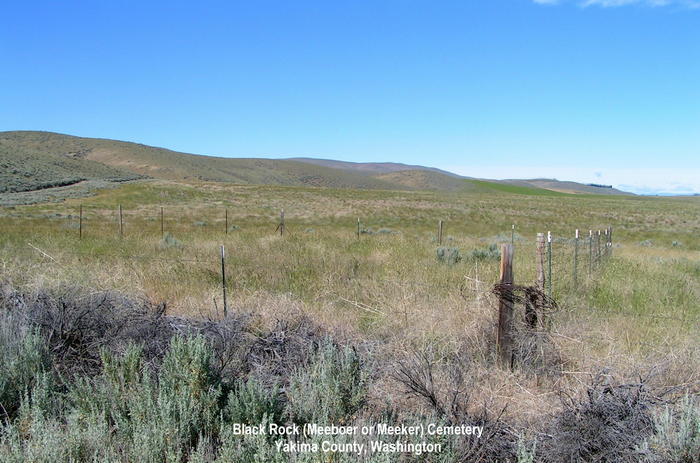
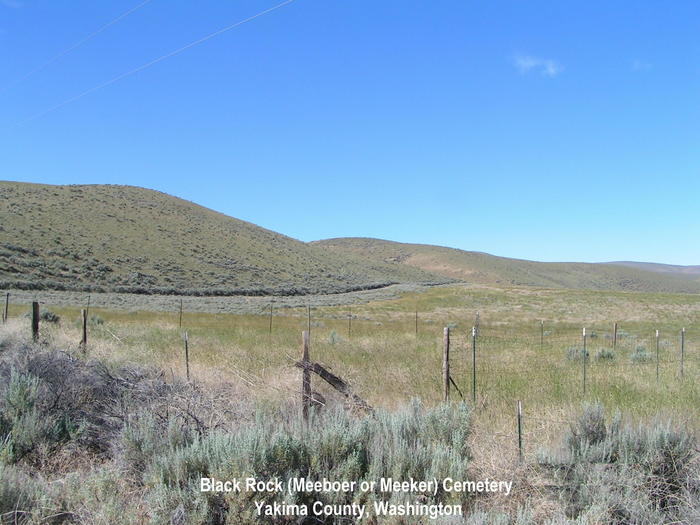
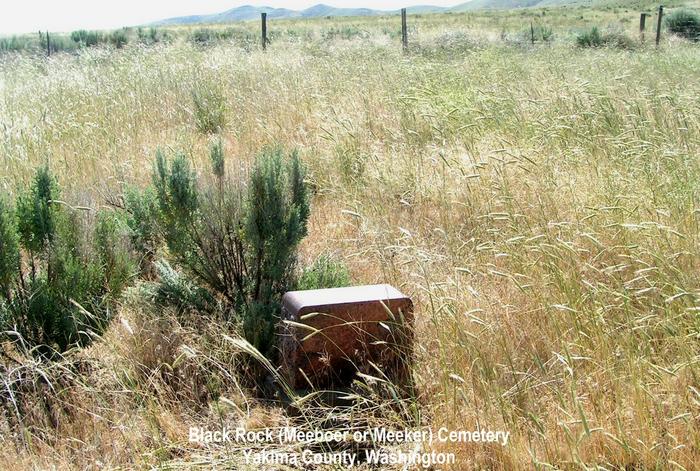
| Description | : | BLACK ROCK (or Meeboer or Meeker) CEMETERY Metzker's map of Yakima County has the name of this abandoned cemetery as the Black Rock Cemetery. However, other Yakima County sources call it Meeker Cemetery, for the Meeboer family, who changed their name to Meeker. This Cemetery served the Black Rock area named "Divide", a farming development and village at the turn of the century which was heavily promoted but did not prosper due to lack of water. The cemetery is on the eastern edge of Section 24, T. 12N, R22E, 3/4 mile south of Highway 24, six miles west of the junction of Highway... Read More |
frequently asked questions (FAQ):
-
Where is Black Rock Cemetery?
Black Rock Cemetery is located at Hanford Road (Washington 24) Moxee City, Yakima County ,Washington , 98936USA.
-
Black Rock Cemetery cemetery's updated grave count on graveviews.com?
1 memorials
-
Where are the coordinates of the Black Rock Cemetery?
Latitude: 46.5111084
Longitude: -119.9985962
Nearby Cemetories:
1. Lower Valley Memorial Gardens
Sunnyside, Yakima County, USA
Coordinate: 46.3450012, -120.0117035
2. Holy Trinity Episcopal Close
Sunnyside, Yakima County, USA
Coordinate: 46.3235000, -120.0158500
3. Outlook Cemetery
Yakima, Yakima County, USA
Coordinate: 46.3208008, -120.0811005
4. Zillah German Baptist Cemetery
Zillah, Yakima County, USA
Coordinate: 46.4128550, -120.2506400
5. Zillah Cemetery
Zillah, Yakima County, USA
Coordinate: 46.4055202, -120.2726072
6. McCoy Cemetery
Toppenish, Yakima County, USA
Coordinate: 46.3835983, -120.2755966
7. Holy Rosary Cemetery
Moxee City, Yakima County, USA
Coordinate: 46.5531006, -120.3585968
8. Grandview Cemetery
Grandview, Yakima County, USA
Coordinate: 46.2658005, -119.8902969
9. Smohalla Cemetery
Toppenish, Yakima County, USA
Coordinate: 46.3009660, -120.2186250
10. Winnier Cemetery
Toppenish, Yakima County, USA
Coordinate: 46.3590060, -120.3192450
11. Elmwood Cemetery
Toppenish, Yakima County, USA
Coordinate: 46.3673830, -120.3334530
12. Holland Cemetery
Moxee City, Yakima County, USA
Coordinate: 46.5766983, -120.3861008
13. Mabton Cemetery
Mabton, Yakima County, USA
Coordinate: 46.2285995, -119.9852982
14. Pioneer Cemetery
Union Gap, Yakima County, USA
Coordinate: 46.5578003, -120.4697037
15. Terrace Heights Memorial Park
Yakima, Yakima County, USA
Coordinate: 46.6068600, -120.4598900
16. Union Gap Cemetery
Yakima County, USA
Coordinate: 46.5209084, -120.4850998
17. Prosser Pioneer Cemetery
Prosser, Benton County, USA
Coordinate: 46.1947937, -119.8095245
18. Lewis Family Cemetery
Yakima, Yakima County, USA
Coordinate: 46.5390013, -120.5052581
19. Prosser Cemetery
Prosser, Benton County, USA
Coordinate: 46.2047539, -119.7541504
20. Tahoma Cemetery
Yakima, Yakima County, USA
Coordinate: 46.5753610, -120.5332320
21. Reservation Community Memorial Park
Wapato, Yakima County, USA
Coordinate: 46.4484291, -120.5375519
22. Calvary Cemetery
Yakima, Yakima County, USA
Coordinate: 46.5790740, -120.5407420
23. Selah Pioneer Cemetery
Selah, Yakima County, USA
Coordinate: 46.6720000, -120.5140000
24. Yemowat Cemetery
Yakima County, USA
Coordinate: 46.5475006, -120.5730972