
| Memorials | : | 0 |
| Location | : | Chestnut Mound, Smith County, USA |
| Coordinate | : | 36.2058296, -85.8167038 |
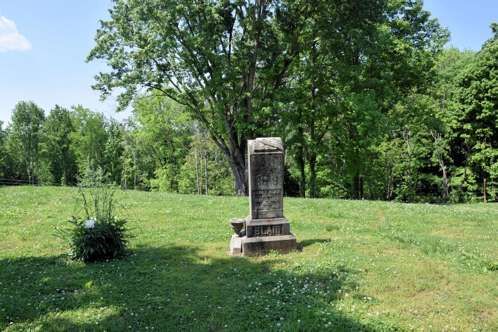
| Description | : | The Blair Cemetery is a single tombstone located about 25 foot from the south side of Hwy 70 in Chestnut Mound. |
frequently asked questions (FAQ):
-
Where is Blair Cemetery?
Blair Cemetery is located at Chestnut Mound, Smith County ,Tennessee ,USA.
-
Blair Cemetery cemetery's updated grave count on graveviews.com?
0 memorials
-
Where are the coordinates of the Blair Cemetery?
Latitude: 36.2058296
Longitude: -85.8167038
Nearby Cemetories:
1. Chestnut Mound Missionary Baptist Church Cemetery
Chestnut Mound, Smith County, USA
Coordinate: 36.2034730, -85.8169980
2. Knight Cemetery
Chestnut Mound, Smith County, USA
Coordinate: 36.2053080, -85.8222990
3. Chestnut Mound United Methodist Church Cemetery
Chestnut Mound, Smith County, USA
Coordinate: 36.2034210, -85.8220200
4. Wyatt Cemetery
Chestnut Mound, Smith County, USA
Coordinate: 36.2036920, -85.8258930
5. Harris Cemetery
Chestnut Mound, Smith County, USA
Coordinate: 36.2119400, -85.8083500
6. Old Church Cemetery
Chestnut Mound, Smith County, USA
Coordinate: 36.2041660, -85.8314390
7. Gross Cemetery
Chestnut Mound, Smith County, USA
Coordinate: 36.2084380, -85.8332100
8. Brown Cemetery
Chestnut Mound, Smith County, USA
Coordinate: 36.2025300, -85.8358900
9. Winfrey Cemetery
Chestnut Mound, Smith County, USA
Coordinate: 36.2025800, -85.8360600
10. Glover Cemetery
Chestnut Mound, Smith County, USA
Coordinate: 36.2196870, -85.8278670
11. Bennett Cemetery
Smith County, USA
Coordinate: 36.1897700, -85.8104400
12. Draper Cemetery
Chestnut Mound, Smith County, USA
Coordinate: 36.2219610, -85.8237250
13. Robinson Cemetery
Chestnut Mound, Smith County, USA
Coordinate: 36.1887290, -85.8109240
14. Confederate Soldiers Gravesite
Smith County, USA
Coordinate: 36.1874730, -85.8154110
15. Young-McDonald Cemetery
Cookeville, Putnam County, USA
Coordinate: 36.2081840, -85.7919060
16. McKinney Cemetery
Chestnut Mound, Smith County, USA
Coordinate: 36.2166800, -85.8378000
17. John Watts Cemetery
Chestnut Mound, Smith County, USA
Coordinate: 36.1895420, -85.7992740
18. Brown Cemetery
Smith County, USA
Coordinate: 36.2159600, -85.7928400
19. Fitzpatrick Cemetery
Chestnut Mound, Smith County, USA
Coordinate: 36.1855300, -85.8287710
20. Fitzpatrick Cemetery
Smith County, USA
Coordinate: 36.1827060, -85.8201630
21. High Cemetery
Chestnut Mound, Smith County, USA
Coordinate: 36.2097800, -85.8452900
22. Thompson Cemetery
Chestnut Mound, Smith County, USA
Coordinate: 36.2185170, -85.7903060
23. Vaden Cemetery
Chestnut Mound, Smith County, USA
Coordinate: 36.2096020, -85.8484130
24. Apple-Ditty-Madewell Family Cemetery
Buffalo Valley, Putnam County, USA
Coordinate: 36.1808740, -85.8041080