
| Memorials | : | 0 |
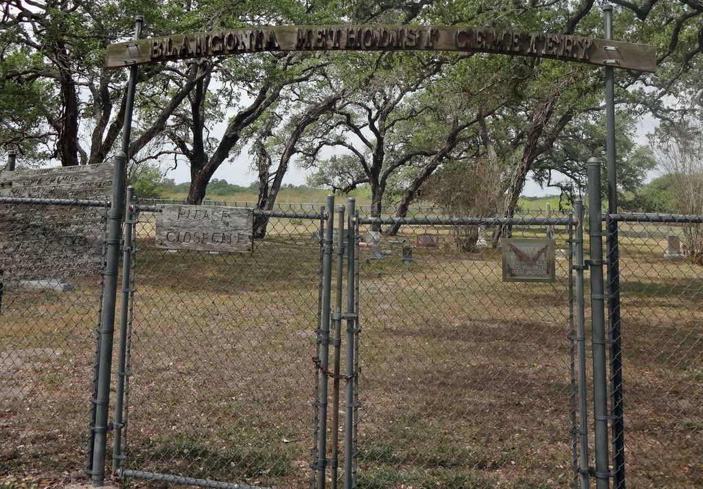
| Location | : | Blanconia, Bee County, USA |
| Coordinate | : | 28.3743910, -97.4086050 |
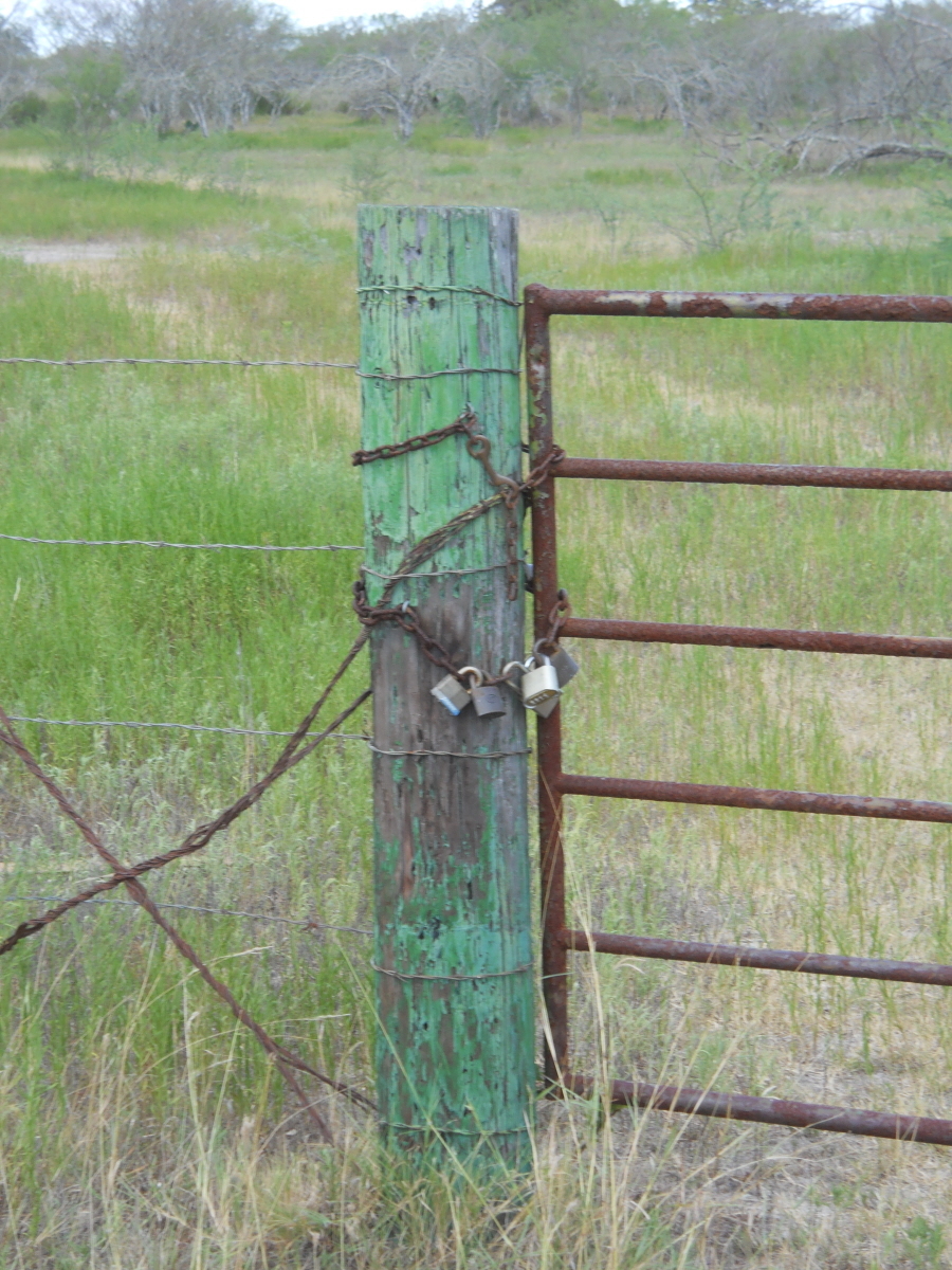
| Description | : | From Refugio, From intersection of 202 and 183 to CR424, 10.4 miles, From intersection of CR424 and 202 to gate .6 miles, From gate to Cemetery. Note: Blanconia formerly called Dark Corner. Note: Cemetery Formerly named Pleasant Grove Cemetery. |
frequently asked questions (FAQ):
-
Where is Blanconia Methodist Cemetery?
Blanconia Methodist Cemetery is located at Blanconia, Bee County ,Texas ,USA.
-
Blanconia Methodist Cemetery cemetery's updated grave count on graveviews.com?
0 memorials
-
Where are the coordinates of the Blanconia Methodist Cemetery?
Latitude: 28.3743910
Longitude: -97.4086050

Nearby Cemetories:
1. Blanconia Baptist Church Cemetery
Blanconia, Bee County, USA
Coordinate: 28.4008640, -97.4111320
2. Taber Cemetery
Goliad, Goliad County, USA
Coordinate: 28.4036000, -97.3950000
3. McGuill Cemetery
Goliad County, USA
Coordinate: 28.4036007, -97.3949966
4. Sarco Cemetery
Goliad County, USA
Coordinate: 28.5111008, -97.4019012
5. Mucorrera Cemetery
Goliad County, USA
Coordinate: 28.4916992, -97.5250015
6. Moya Cemetery
Berclair, Goliad County, USA
Coordinate: 28.4918900, -97.5255060
7. Myers Cemetery
Goliad County, USA
Coordinate: 28.5146999, -97.5560989
8. Campo Santo Cemetery
Bee County, USA
Coordinate: 28.2917004, -97.6089020
9. Berclair Cemetery
Berclair, Goliad County, USA
Coordinate: 28.5352330, -97.5808000
10. Papalote Protestant Cemetery
Papalote, Bee County, USA
Coordinate: 28.1711200, -97.5777730
11. Evergreen Cemetery
Skidmore, Bee County, USA
Coordinate: 28.2742004, -97.6928024
12. San Fernando De Los Flores Cemetery
Goliad, Goliad County, USA
Coordinate: 28.6443996, -97.3874969
13. Fannin Burial Monument
Goliad, Goliad County, USA
Coordinate: 28.6460500, -97.3803830
14. La Bahia Cemetery
Goliad, Goliad County, USA
Coordinate: 28.6465880, -97.3801640
15. Cristo Rey Cemetery
Goliad County, USA
Coordinate: 28.6465000, -97.3774620
16. Old Papalote Cemetery
Bee County, USA
Coordinate: 28.1616993, -97.6085968
17. Beeville Memorial Park
Beeville, Bee County, USA
Coordinate: 28.4249992, -97.7174988
18. Our Lady of Victory Cemetery #2
Beeville, Bee County, USA
Coordinate: 28.4218998, -97.7213974
19. Bar J Ranch Family Cemetery
Beeville, Bee County, USA
Coordinate: 28.4121220, -97.7232390
20. Whitby Cemetery
Goliad, Goliad County, USA
Coordinate: 28.6594009, -97.4128036
21. Saint Joseph Catholic Cemetery
Beeville, Bee County, USA
Coordinate: 28.4116993, -97.7339020
22. Saint Rose Cemetery
Beeville, Bee County, USA
Coordinate: 28.4113998, -97.7343979
23. Lott Cemetery
Goliad County, USA
Coordinate: 28.6067009, -97.2125015
24. San Jacinto Cemetery
Goliad County, USA
Coordinate: 28.6425100, -97.5366900