| Memorials | : | 4 |
| Location | : | Achille, Bryan County, USA |
| Coordinate | : | 33.7872550, -96.3745010 |
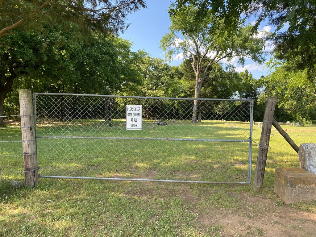
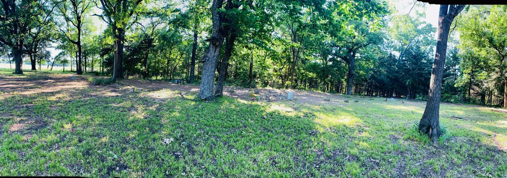
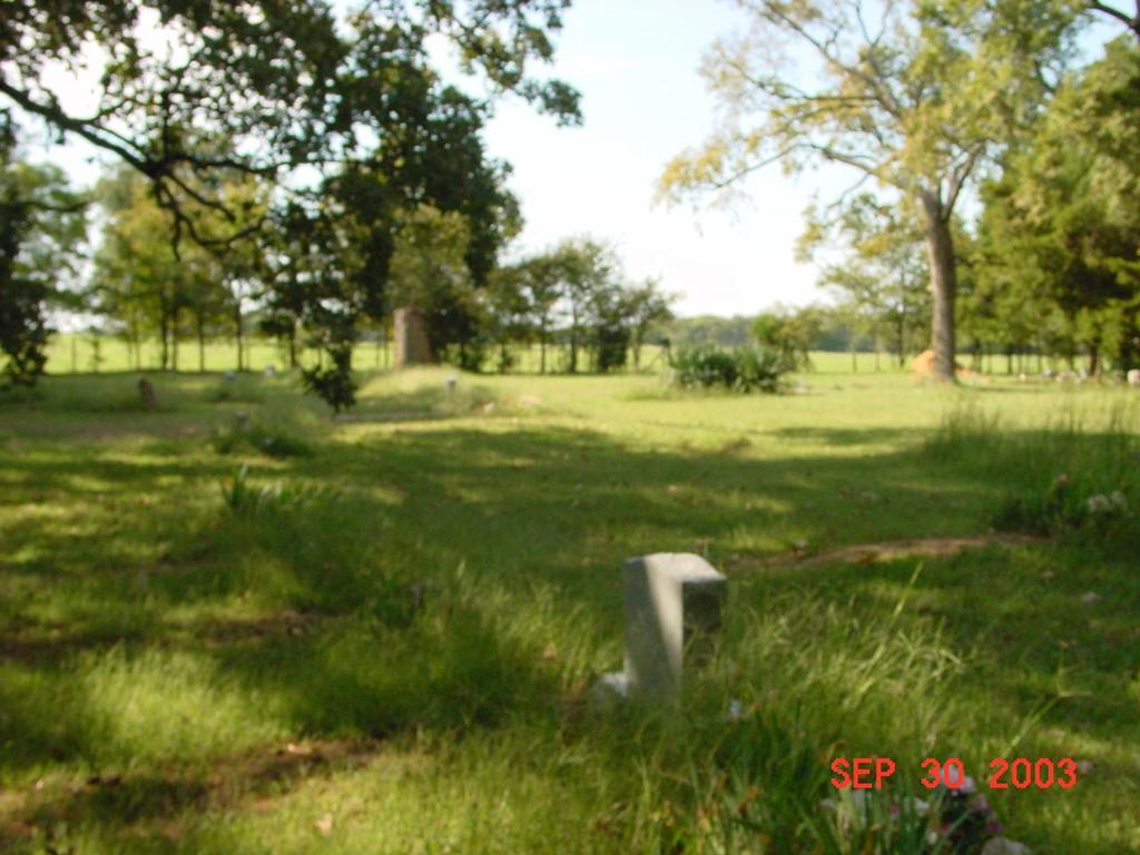
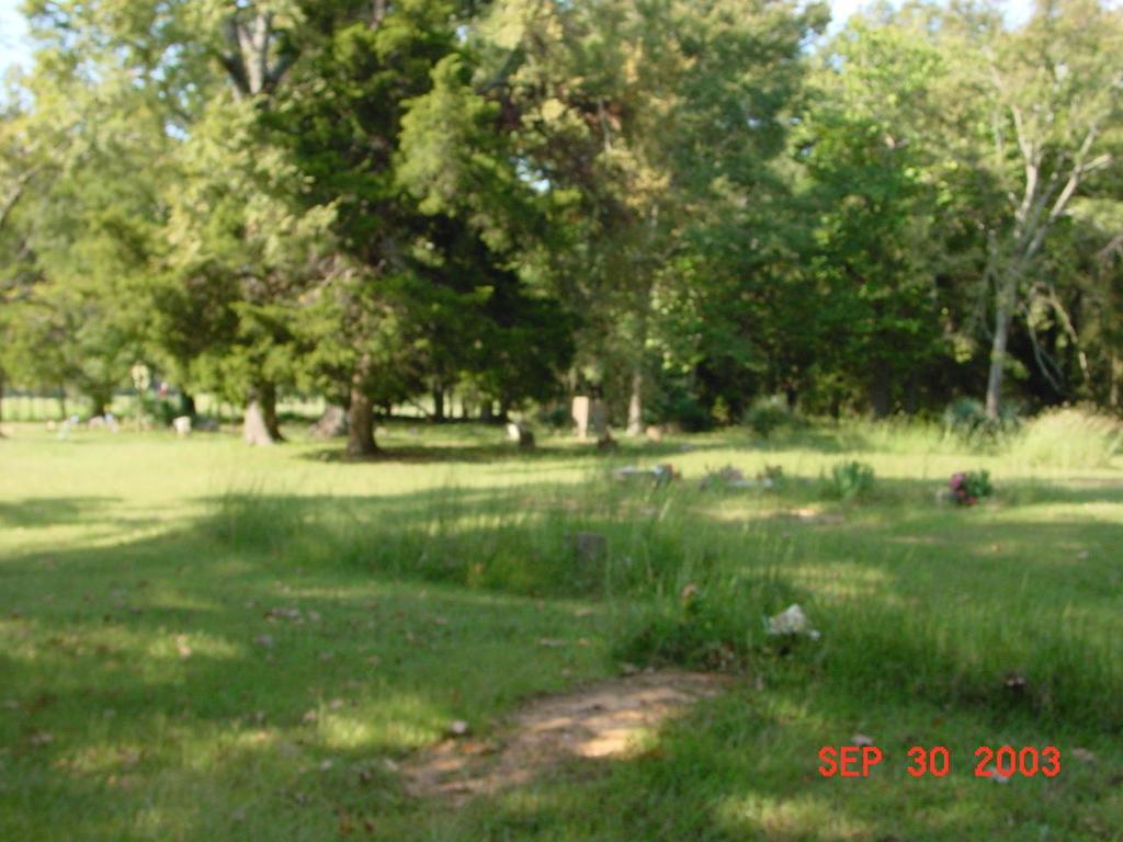
| Description | : | Bloomfield Colored Cemetery is located south of Achille in Section 9, Township 9, Range 9. Go south on Highway 78 through Achille. As the highway makes a sharp curve to the east, go straight ahead (south) for 1 1/2 miles. The road will end at a pasture gate, which is locked. To reach the cemetery go about 1/2 mile across the pasture to the east and northeast. |
frequently asked questions (FAQ):
-
Where is Bloomfield Colored Cemetery?
Bloomfield Colored Cemetery is located at Achille, Bryan County ,Oklahoma ,USA.
-
Bloomfield Colored Cemetery cemetery's updated grave count on graveviews.com?
4 memorials
-
Where are the coordinates of the Bloomfield Colored Cemetery?
Latitude: 33.7872550
Longitude: -96.3745010
Nearby Cemetories:
1. Bloomfield Cemetery
Hendrix, Bryan County, USA
Coordinate: 33.7907982, -96.3835983
2. Kemp Cemetery
Kemp, Bryan County, USA
Coordinate: 33.7732010, -96.3500214
3. Old Kemp Cemetery
Kemp, Bryan County, USA
Coordinate: 33.7678730, -96.3529410
4. Kemp-Reynolds Cemetery
Bryan County, USA
Coordinate: 33.7567787, -96.3681030
5. Greenwood Cemetery
Kemp, Bryan County, USA
Coordinate: 33.7617900, -96.3273100
6. Rosewood Cemetery
Achille, Bryan County, USA
Coordinate: 33.8386116, -96.3850021
7. Oakridge Cemetery
Denison, Grayson County, USA
Coordinate: 33.7545013, -96.4336166
8. Kemp Perry Cemetery
Kemp, Bryan County, USA
Coordinate: 33.7439700, -96.3101200
9. Lankford Cemetery
Grayson County, USA
Coordinate: 33.7606010, -96.4713974
10. Turley Cemetery
Denison, Grayson County, USA
Coordinate: 33.7408060, -96.4620350
11. Yarnaby Cemetery
Yarnaby, Bryan County, USA
Coordinate: 33.7881012, -96.2699966
12. Jeremiah Cemetery
Denison, Grayson County, USA
Coordinate: 33.7342800, -96.4619140
13. Burney Cemetery
Bryan County, USA
Coordinate: 33.8650017, -96.3189011
14. Camp Cemetery
Grayson County, USA
Coordinate: 33.7264320, -96.4585240
15. Cherry Mound Cemetery
Bells, Grayson County, USA
Coordinate: 33.7050018, -96.4285965
16. Mulberry Cemetery
Mulberry, Fannin County, USA
Coordinate: 33.7285000, -96.2746000
17. Eastside Cemetery
Colbert, Bryan County, USA
Coordinate: 33.8438300, -96.4924400
18. Johnson Cemetery
Fannin County, USA
Coordinate: 33.6967010, -96.2846985
19. Union Cemetery
Ravenna, Fannin County, USA
Coordinate: 33.7181015, -96.2574997
20. Shaw Cemetery
Bells, Grayson County, USA
Coordinate: 33.6676400, -96.4070680
21. Dugan-Whiting Cemetery
Bells, Grayson County, USA
Coordinate: 33.6749992, -96.4359970
22. Bush Cemetery
Grayson County, USA
Coordinate: 33.6627998, -96.3889008
23. Oakwood Cemetery
Denison, Grayson County, USA
Coordinate: 33.7614600, -96.5290500
24. Bell-Youree Cemetery
Fannin County, USA
Coordinate: 33.6561810, -96.3695510

