
| Memorials | : | 15 |
| Location | : | Pitkin, Vernon Parish, USA |
| Coordinate | : | 30.9333000, -92.9187000 |
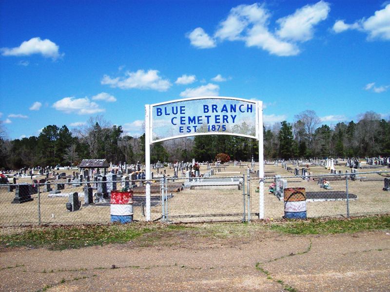
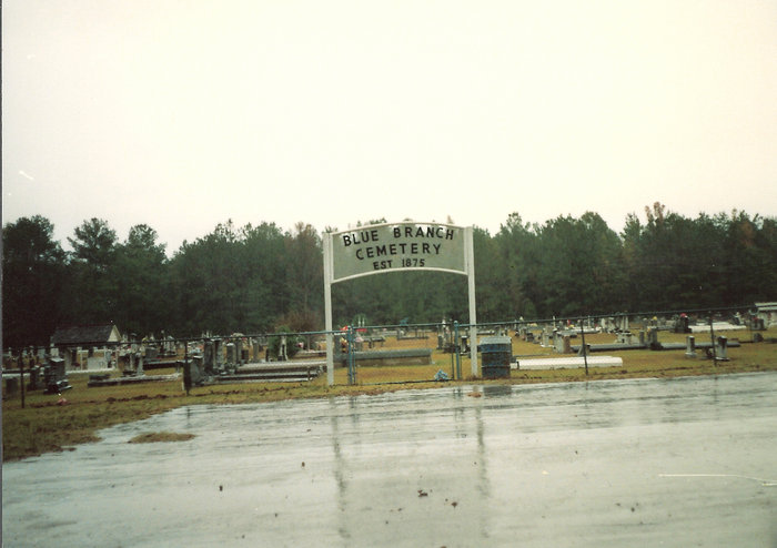
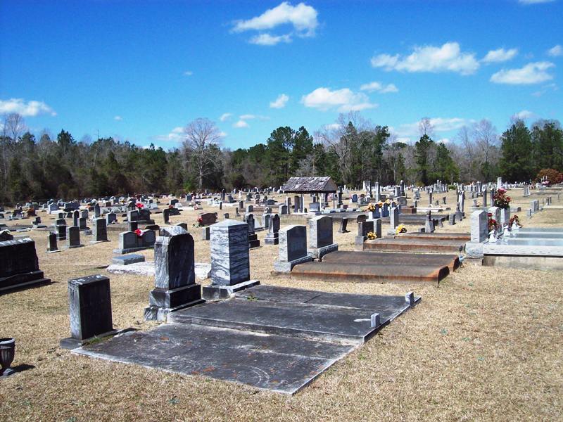
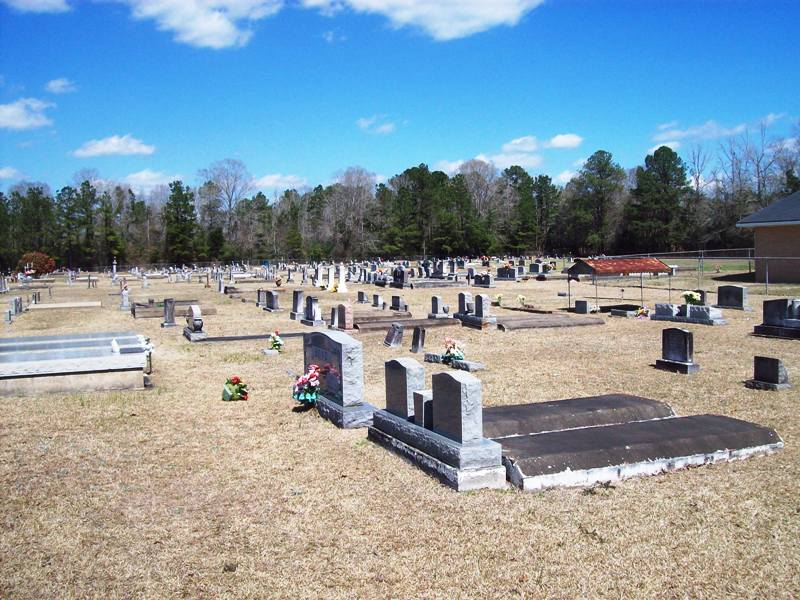
| Description | : | Blue Branch Cemetery is located in Pitkin on LA Hwy. 10, approximately .7 miles West of LA Hwy. 113 junction, behind Mt. Olive Baptist Church. Early settlers of the Pitkin area organized the Church in 1862. The first log structure was located about five miles East of Pitkin on Brushy Creek. In 1877, the congregation moved to a more central location on Blue Branch Creek where they erected a new church. In 1890, a building first used by the Methodists and then sold to Isaac Watson for a schoolhouse, was purchased for use by Mt. Olive Baptist Church. In 1910... Read More |
frequently asked questions (FAQ):
-
Where is Blue Branch Cemetery?
Blue Branch Cemetery is located at Pitkin, Vernon Parish ,Louisiana ,USA.
-
Blue Branch Cemetery cemetery's updated grave count on graveviews.com?
13 memorials
-
Where are the coordinates of the Blue Branch Cemetery?
Latitude: 30.9333000
Longitude: -92.9187000
Nearby Cemetories:
1. Hill-Mathis Cemetery
Vernon Parish, USA
Coordinate: 30.9347000, -92.9436035
2. Occupy #2 Cemetery
Vernon Parish, USA
Coordinate: 30.9432000, -92.8504000
3. Arkadelphia Cemetery
Allen Parish, USA
Coordinate: 30.8619000, -92.9282000
4. Sirman Cemetery
Fort Polk, Vernon Parish, USA
Coordinate: 31.0086000, -92.9136000
5. Buck Martin Cemetery
Allen Parish, USA
Coordinate: 30.8574560, -92.9303130
6. Crowder Family Cemetery
Fullerton, Vernon Parish, USA
Coordinate: 31.0027000, -92.9704000
7. Fullerton Cemetery
Pitkin, Vernon Parish, USA
Coordinate: 31.0027000, -92.9704000
8. Blackjack Cemetery
Grant, Allen Parish, USA
Coordinate: 30.8508000, -92.9022000
9. West Cemetery
Pitkin, Vernon Parish, USA
Coordinate: 30.8969000, -92.8258000
10. West Cemetery
Elizabeth, Allen Parish, USA
Coordinate: 30.8933835, -92.8225922
11. Occupy No.1 Cemetery
Glenmora, Rapides Parish, USA
Coordinate: 30.9731750, -92.8200640
12. Fullerton West Cemetery
Fullerton, Vernon Parish, USA
Coordinate: 31.0190000, -92.9930000
13. Smith-Maddox Cemetery
Fort Polk, Vernon Parish, USA
Coordinate: 31.0436690, -92.9213330
14. Smith Cemetery
Vernon Parish, USA
Coordinate: 31.0442009, -92.9206009
15. Wisby Memorial Cemetery
Vernon Parish, USA
Coordinate: 30.9178009, -93.0575027
16. Canada Memorial Gardens
Elizabeth, Allen Parish, USA
Coordinate: 30.8768997, -92.7949982
17. Talbert-Pierson Cemetery
Vernon Parish, USA
Coordinate: 30.8901000, -93.0507000
18. Hampton Memorial Cemetery
Elizabeth, Allen Parish, USA
Coordinate: 30.8652992, -92.8007965
19. Sugartown Baptist Church Cemetery
Sugartown, Beauregard Parish, USA
Coordinate: 30.8418999, -93.0147018
20. Gravel Hill Cemetery
Vernon Parish, USA
Coordinate: 30.9916706, -93.0502777
21. Old Camp Ground Cemetery
Beauregard Parish, USA
Coordinate: 30.8246994, -92.9989014
22. New Campground Cemetery
Beauregard Parish, USA
Coordinate: 30.8255997, -93.0006027
23. Paul Family Cemetery
Rapides Parish, USA
Coordinate: 30.9550000, -92.7622510
24. Drakes Fork Cemetery
Cravens, Vernon Parish, USA
Coordinate: 30.9449997, -93.0802994