| Memorials | : | 1 |
| Location | : | Miami, Saline County, USA |
| Coordinate | : | 39.3357100, -93.2007100 |
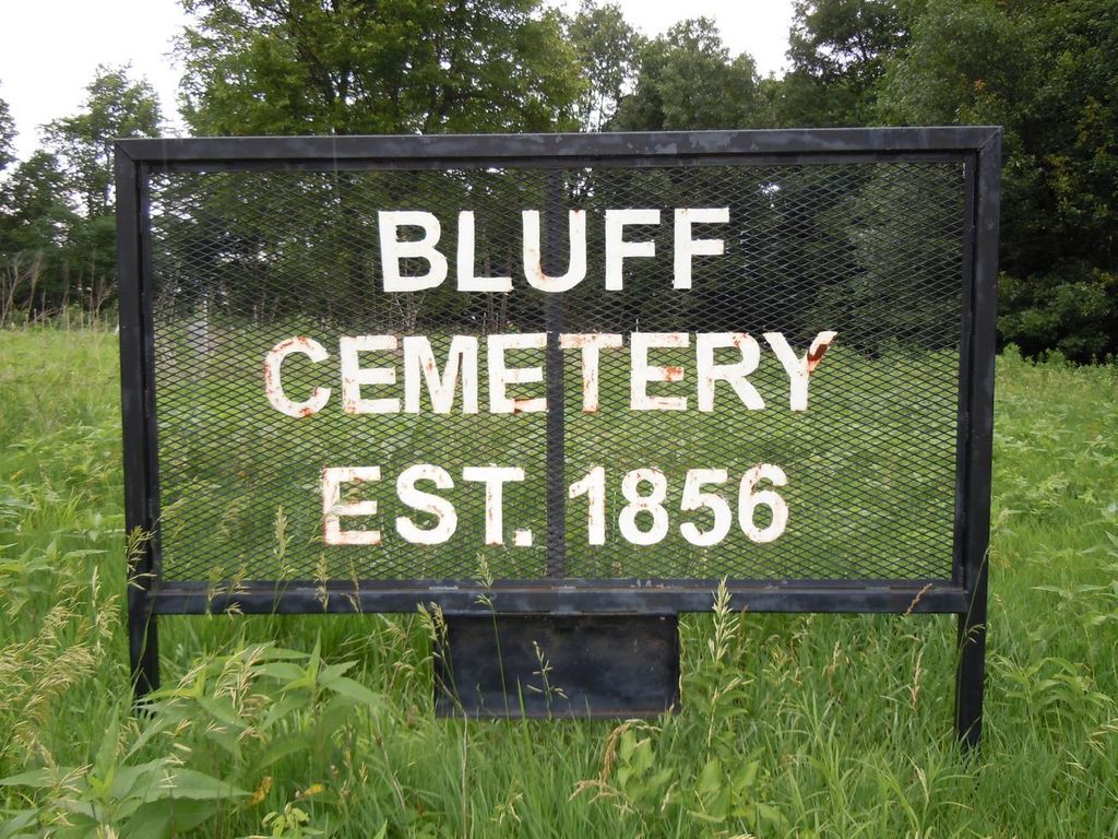
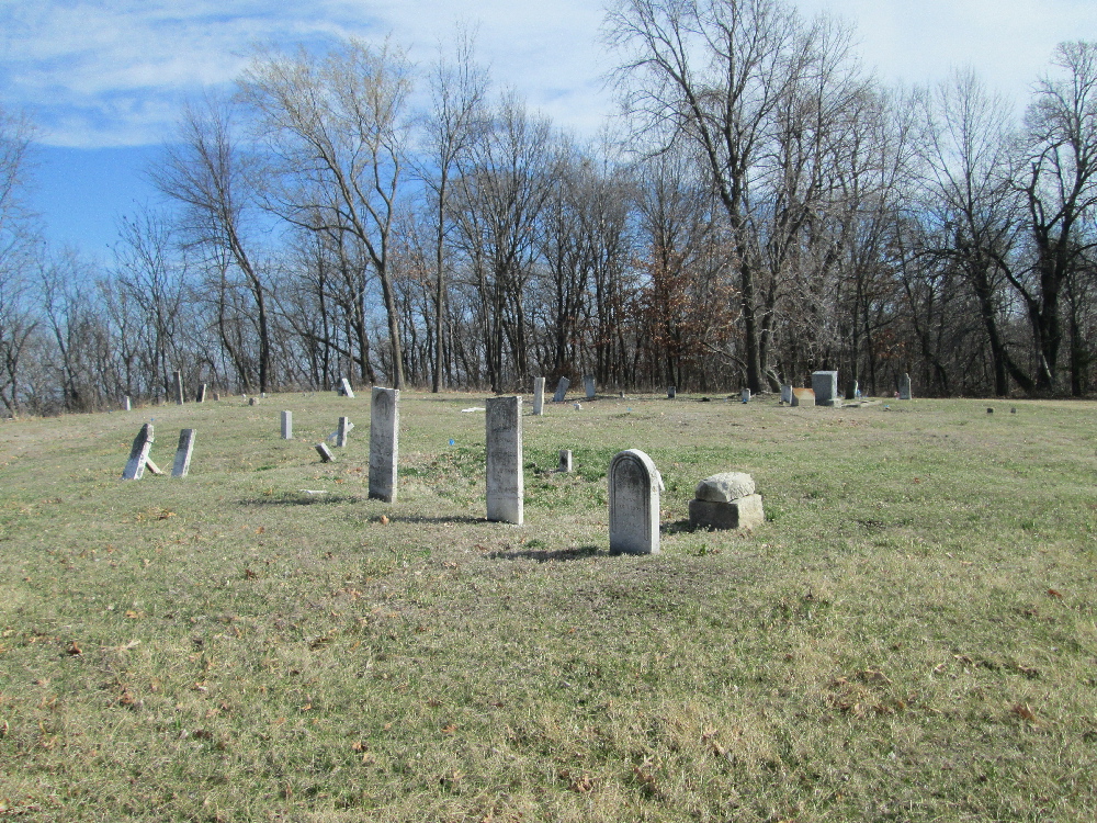
| Description | : | Twp 49, R 21, Sec 22 located off County Road "F", east of Miami, Saline County, Missouri. Travel north out of Miami, and just before you reach the Missouri River bridge (50 yards or so) turn right on County Road "F". Bluff Cemetery is located 1.4 miles on the left (north) side of the road, and is marked by a black-colored metal sign on a small ridge above the road. Bluff Cemetery is in very poor condition, with most of the stones/markers having been knocked over and then piled up at the east end of the cemetery. A few markers are... Read More |
frequently asked questions (FAQ):
-
Where is Bluff Cemetery?
Bluff Cemetery is located at Miami, Saline County ,Missouri ,USA.
-
Bluff Cemetery cemetery's updated grave count on graveviews.com?
1 memorials
-
Where are the coordinates of the Bluff Cemetery?
Latitude: 39.3357100
Longitude: -93.2007100
Nearby Cemetories:
1. Miami Cemetery
Miami, Saline County, USA
Coordinate: 39.3201700, -93.2254600
2. Christian Cemetery
Miami, Saline County, USA
Coordinate: 39.2957993, -93.2205963
3. Shiloh Church Cemetery
Miami, Saline County, USA
Coordinate: 39.3439133, -93.1424227
4. Harmony Church Cemetery
Miami, Saline County, USA
Coordinate: 39.3558577, -93.1463118
5. Old DeWitt Cemetery
De Witt, Carroll County, USA
Coordinate: 39.3801900, -93.2317100
6. Miami Station Cemetery
Carroll County, USA
Coordinate: 39.3454018, -93.2649994
7. De Witt Cemetery
De Witt Township, Carroll County, USA
Coordinate: 39.3898010, -93.2136002
8. Evergreen Cemetery
De Witt, Carroll County, USA
Coordinate: 39.3922005, -93.2225037
9. Bethel Cemetery
Sharon, Saline County, USA
Coordinate: 39.3025600, -93.1349300
10. White Rock Cemetery
Carroll County, USA
Coordinate: 39.3339005, -93.2844009
11. Harris Cemetery
Slater, Saline County, USA
Coordinate: 39.3098010, -93.0944170
12. Old Pleasant Park Cemetery
De Witt, Carroll County, USA
Coordinate: 39.3950000, -93.2914000
13. Elder Cemetery
Carroll County, USA
Coordinate: 39.3527985, -93.3197021
14. Darr Cemetery
Carroll County, USA
Coordinate: 39.3712997, -93.3188019
15. Cannon Cemetery
Carroll County, USA
Coordinate: 39.3539009, -93.3289032
16. Wolfskill Cemetery
Saline County, USA
Coordinate: 39.2889167, -93.0845000
17. Fairville Cemetery
Fairville, Saline County, USA
Coordinate: 39.2317400, -93.2047900
18. Douglas Cemetery
Brunswick Township, Chariton County, USA
Coordinate: 39.4291992, -93.1264038
19. Salem Cemetery
Carroll County, USA
Coordinate: 39.3530998, -93.3452988
20. William Allega Cemetery
Brunswick Township, Chariton County, USA
Coordinate: 39.4424390, -93.1482330
21. Unnamed Cemetery #73
Carroll County, USA
Coordinate: 39.4429016, -93.2534027
22. High Hill Cemetery
Gilliam, Saline County, USA
Coordinate: 39.3046989, -93.0569000
23. Elliott Grove Cemetery
Brunswick Township, Chariton County, USA
Coordinate: 39.4343987, -93.1228027
24. Turner Cemetery
Brunswick, Chariton County, USA
Coordinate: 39.4300995, -93.1104965


