| Memorials | : | 2 |
| Location | : | Fall Creek Township, Adams County, USA |
| Coordinate | : | 39.8169100, -91.3310800 |
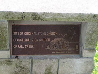
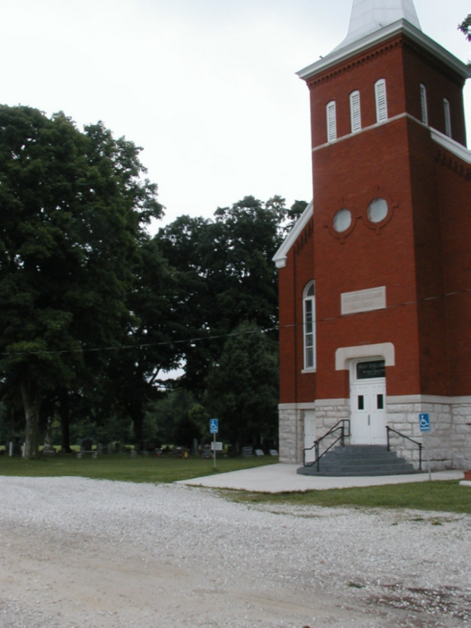
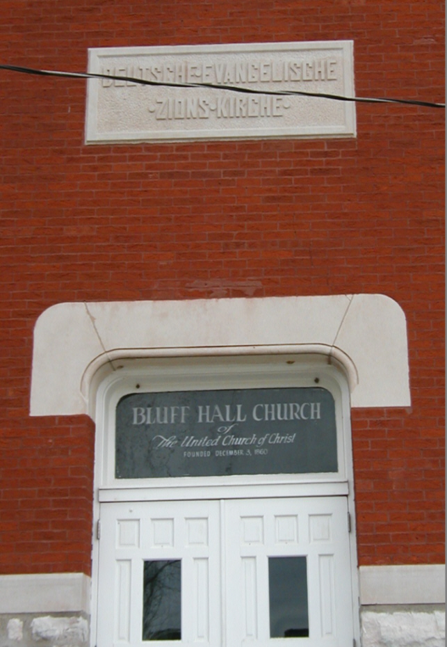
| Description | : | In Fall Creek Township, SW 1/4 of SE 1/4 Sec 9 T3S-R8W 4 PM, 3.0 mi NxNW of Fall Creek, IL. Located on county road N 400th AVE 750 feet east of the junction with HWY 57, at the site of the Bluff Hall Chuch - formerly the site of the old stone church known as the German Evangelical Zion (Lutheran) Church of Fall Creek. |
frequently asked questions (FAQ):
-
Where is Bluff Hall Cemetery?
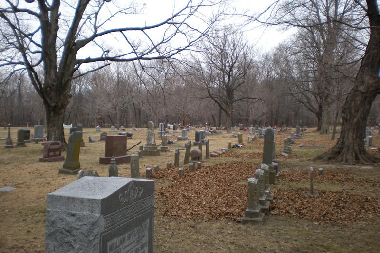
Bluff Hall Cemetery is located at 951 N 400th Ave Fall Creek Township, Adams County ,Illinois , 62360USA.
-
Bluff Hall Cemetery cemetery's updated grave count on graveviews.com?
2 memorials
-
Where are the coordinates of the Bluff Hall Cemetery?
Latitude: 39.8169100
Longitude: -91.3310800
Nearby Cemetories:
1. Craigtown Cemetery
Fall Creek Township, Adams County, USA
Coordinate: 39.8375015, -91.3022003
2. Hood Cemetery
Payson, Adams County, USA
Coordinate: 39.7892400, -91.3000200
3. Fall Creek Methodist Protestant Cemetery
Fall Creek Township, Adams County, USA
Coordinate: 39.7947006, -91.2846985
4. Thompson-Seehorn Cemetery
Fall Creek Township, Adams County, USA
Coordinate: 39.7808380, -91.2956161
5. Fall Creek Chapel Cemetery
Payson Township, Adams County, USA
Coordinate: 39.7907982, -91.2647018
6. Eeds Cemetery
Quincy, Adams County, USA
Coordinate: 39.8753014, -91.3399963
7. Payson New Cemetery
Payson, Adams County, USA
Coordinate: 39.8109480, -91.2466320
8. Payson Old Cemetery
Payson, Adams County, USA
Coordinate: 39.8156300, -91.2453900
9. Melrose Chapel Cemetery
Melrose Township, Adams County, USA
Coordinate: 39.8894010, -91.3585970
10. Nichols Cemetery
Payson, Adams County, USA
Coordinate: 39.8396988, -91.2296982
11. Saint Johns Cathedral Mausoleum
Quincy, Adams County, USA
Coordinate: 39.8968500, -91.3557000
12. Saint Anthony of Padua Parish Cemetery
Quincy, Adams County, USA
Coordinate: 39.9044300, -91.3198400
13. Pennewell Cemetery
Marion County, USA
Coordinate: 39.7924995, -91.4443970
14. Rush Cemetery
Marion County, USA
Coordinate: 39.7528000, -91.4194031
15. Rush Cemetery
Hannibal, Marion County, USA
Coordinate: 39.7528161, -91.4195886
16. Mount Carmel Cemetery
Quincy, Adams County, USA
Coordinate: 39.9130000, -91.3117100
17. Baskett Cemetery
Marion County, USA
Coordinate: 39.7724991, -91.4452972
18. Morton Cemetery
Burton Township, Adams County, USA
Coordinate: 39.8733680, -91.2226830
19. Saint Mary's Catholic Cemetery
Hannibal, Marion County, USA
Coordinate: 39.7249200, -91.3872400
20. Holy Family Cemetery
Hannibal, Marion County, USA
Coordinate: 39.7243996, -91.3878021
21. Kaiser Cemetery
Marion County, USA
Coordinate: 39.7769012, -91.4546967
22. Whaley Cemetery
Marion County, USA
Coordinate: 39.7569008, -91.4405975
23. Thrasher Chapel Cemetery
Marion County, USA
Coordinate: 39.7728004, -91.4531021
24. Greenmount Cemetery
Quincy, Adams County, USA
Coordinate: 39.9094009, -91.3944016


