
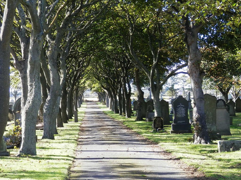
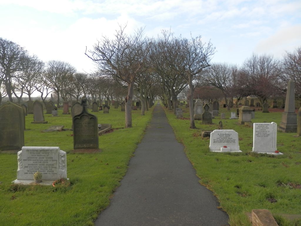
| Memorials | : | 57 |
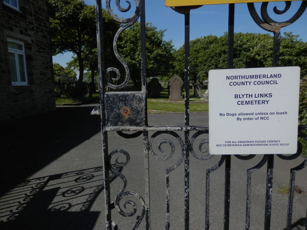
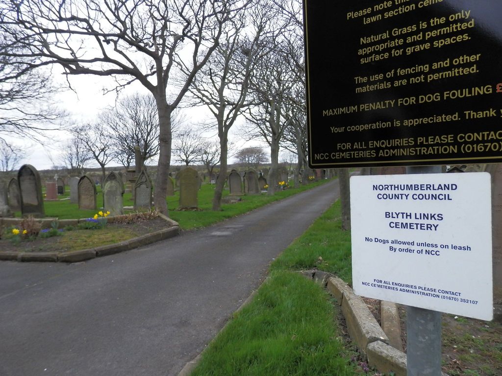
| Location | : | Blyth, Northumberland Unitary Authority, England |
| Coordinate | : | 55.1053800, -1.4997200 |
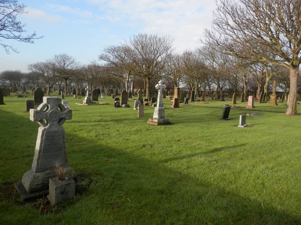
| Description | : | This is on the west side of the A193 road (Links Road) opposite the expanse of sandy beach known as Blyth Links. There are 20 Commonwealth burials of the 1914-18 war here and a further 32 of the 1939-45 war, of which 4 are unidentified sailors of the Royal Navy and 4 are unidentified seamen of the Merchant Navy. There is also a special memorial to three Northumberland Fusiliers of WWI who are buried in the nearby Cowpen Roman Catholic Burial Ground, and who now have individual headstones there provided and maintained by the Commonwealth War Graves Commission. |
frequently asked questions (FAQ):
-
Where is Blyth Links Cemetery?
Blyth Links Cemetery is located at Links Road Blyth, Northumberland Unitary Authority ,Northumberland ,England.
-
Blyth Links Cemetery cemetery's updated grave count on graveviews.com?
55 memorials
-
Where are the coordinates of the Blyth Links Cemetery?
Latitude: 55.1053800
Longitude: -1.4997200
Nearby Cemetories:
1. Saint Cuthbert's Churchyard
Blyth, Northumberland Unitary Authority, England
Coordinate: 55.1265800, -1.5031400
2. Cowpen Cemetery and Crematorium
Blyth, Northumberland Unitary Authority, England
Coordinate: 55.1311260, -1.5294460
3. Cowpen Roman Catholic Burial Ground
Blyth, Northumberland Unitary Authority, England
Coordinate: 55.1305300, -1.5386300
4. St. Mary's Churchyard
Horton, Northumberland Unitary Authority, England
Coordinate: 55.1106200, -1.5706200
5. Mayfield Cemetery
Cramlington, Northumberland Unitary Authority, England
Coordinate: 55.0837139, -1.5730931
6. Whitley Bay Cemetery and Crematorium
Whitley Bay, Metropolitan Borough of North Tyneside, England
Coordinate: 55.0636970, -1.4588430
7. St. Nicholas' Churchyard
Cramlington, Northumberland Unitary Authority, England
Coordinate: 55.0856460, -1.5834930
8. Earsdon Cemetery
Earsdon, Metropolitan Borough of North Tyneside, England
Coordinate: 55.0474600, -1.5007200
9. St. John the Baptist Catholic Churchyard
Cramlington, Northumberland Unitary Authority, England
Coordinate: 55.0675480, -1.5783300
10. St. John's Churchyard
Annitsford, Metropolitan Borough of North Tyneside, England
Coordinate: 55.0676900, -1.5785500
11. St. Cuthbert Churchyard
Bedlington, Northumberland Unitary Authority, England
Coordinate: 55.1303910, -1.5928880
12. St. Alban’s Churchyard
Earsdon, Metropolitan Borough of North Tyneside, England
Coordinate: 55.0461000, -1.5004000
13. St Peter Churchyard
Cambois, Northumberland Unitary Authority, England
Coordinate: 55.1615300, -1.5604100
14. Netherton Lane Cemetery
Bedlington, Northumberland Unitary Authority, England
Coordinate: 55.1318960, -1.6106800
15. North Seaton Cemetery
Ashington, Northumberland Unitary Authority, England
Coordinate: 55.1669770, -1.5575500
16. St. Paul's Churchyard
Whitley Bay, Metropolitan Borough of North Tyneside, England
Coordinate: 55.0415860, -1.4478140
17. St. Paul's Churchyard
Choppington, Northumberland Unitary Authority, England
Coordinate: 55.1494290, -1.6009780
18. Dudley Cemetery
Dudley, Metropolitan Borough of North Tyneside, England
Coordinate: 55.0566100, -1.6143420
19. Saint Aidens Churchyard
Ashington, Northumberland Unitary Authority, England
Coordinate: 55.1826900, -1.5781400
20. Preston Cemetery and Tynemouth Crematorium
North Shields, Metropolitan Borough of North Tyneside, England
Coordinate: 55.0175960, -1.4561910
21. North Gosforth Cemetery
Gosforth, Metropolitan Borough of Newcastle upon Tyne, England
Coordinate: 55.0407400, -1.6220700
22. Hazelrigg
Newcastle-upon-Tyne, Metropolitan Borough of Newcastle upon Tyne, England
Coordinate: 55.0410640, -1.6249120
23. St Andrew's Churchyard
Bothal, Northumberland Unitary Authority, England
Coordinate: 55.1731340, -1.6205890
24. Benton Cemetery
Benton, Metropolitan Borough of North Tyneside, England
Coordinate: 55.0161700, -1.5705300