
| Memorials | : | 0 |
| Location | : | Hannibal, Marion County, USA |
| Coordinate | : | 39.6999400, -91.3416600 |
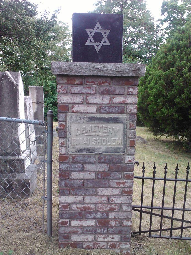
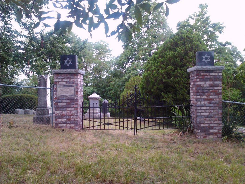
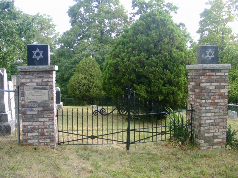
| Description | : | This cemetery is a gated and walled off section of the Riverside Cemetery. |
frequently asked questions (FAQ):
-
Where is Bnai Sholem Cemetery?
Bnai Sholem Cemetery is located at Hannibal, Marion County ,Missouri ,USA.
-
Bnai Sholem Cemetery cemetery's updated grave count on graveviews.com?
0 memorials
-
Where are the coordinates of the Bnai Sholem Cemetery?
Latitude: 39.6999400
Longitude: -91.3416600
Nearby Cemetories:
1. Riverside Cemetery
Hannibal, Marion County, USA
Coordinate: 39.7010994, -91.3435974
2. Mount Olivet Cemetery
Hannibal, Marion County, USA
Coordinate: 39.6893997, -91.3422012
3. Robinson Cemetery
Marion County, USA
Coordinate: 39.6903000, -91.3683014
4. Old Baptist Cemetery
Hannibal, Marion County, USA
Coordinate: 39.7157364, -91.3695450
5. Hope Cemetery
Hannibal, Ralls County, USA
Coordinate: 39.6814003, -91.3705978
6. Brinkmeier Cemetery
Ralls County, USA
Coordinate: 39.6719017, -91.3582993
7. Williams Family Cemetery
Hannibal, Ralls County, USA
Coordinate: 39.6775980, -91.3819380
8. Antioch Baptist Cemetery
Ralls County, USA
Coordinate: 39.6574100, -91.3485100
9. Saint Mary's Catholic Cemetery
Hannibal, Marion County, USA
Coordinate: 39.7249200, -91.3872400
10. Holy Family Cemetery
Hannibal, Marion County, USA
Coordinate: 39.7243996, -91.3878021
11. Marble Creek Cemetery
Ralls County, USA
Coordinate: 39.6582985, -91.3181000
12. Head Cemetery
Marion County, USA
Coordinate: 39.7230988, -91.4132996
13. Grand View Burial Park
Hannibal, Ralls County, USA
Coordinate: 39.6684900, -91.4153860
14. Glascock Family Cemetery
Ralls County, USA
Coordinate: 39.6342547, -91.3292257
15. Nelson Cemetery
Marion County, USA
Coordinate: 39.7261009, -91.4257965
16. Hascall Cemetery
Ralls County, USA
Coordinate: 39.6292000, -91.3022003
17. Minor-Sandage Cemetery
Hannibal, Marion County, USA
Coordinate: 39.7327995, -91.4336014
18. Dimmitt Cemetery
Ralls County, USA
Coordinate: 39.6542015, -91.4263992
19. Rush Cemetery
Marion County, USA
Coordinate: 39.7528000, -91.4194031
20. Rush Cemetery
Hannibal, Marion County, USA
Coordinate: 39.7528161, -91.4195886
21. Flint Hill Cemetery
Flint Hill, Ralls County, USA
Coordinate: 39.6206017, -91.3553009
22. Bear Creek Cemetery
Hannibal, Marion County, USA
Coordinate: 39.6967010, -91.4456024
23. Mount Zion Cemetery
Hannibal, Marion County, USA
Coordinate: 39.7397003, -91.4360962
24. Thompson-Seehorn Cemetery
Fall Creek Township, Adams County, USA
Coordinate: 39.7808380, -91.2956161