
| Memorials | : | 4 |
| Location | : | Elliott County, USA |
| Coordinate | : | 38.1491610, -82.9077370 |
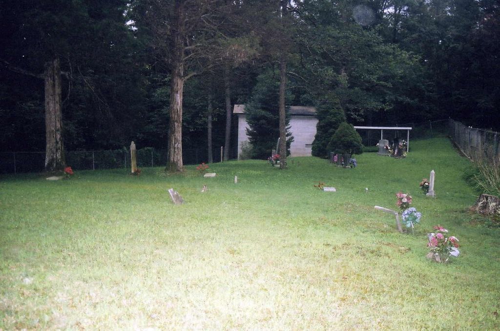
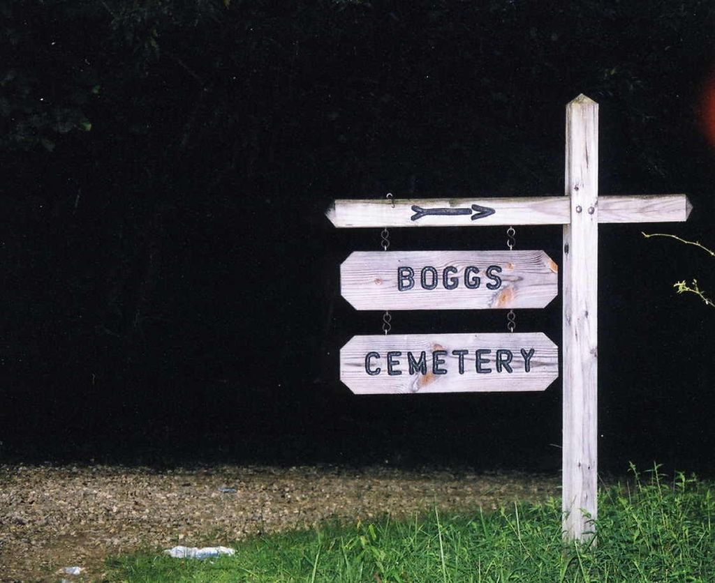
| Description | : | There are also eleven field stones in this cemetery. Directions: Take Route 486 South and turn onto Coffee Branch. Follow Coffee Branch to Doc Leadingham Road. Follow Doc Leadingham until it dead ends. Cemetery is up the hill to the right. The cemetery is located about 350 feet south of Doc Leadingham Road about 1.2 miles east of its intersection with Blaine Trace Road. The U.S. Geological Survey (USGS) Geographic Names Information System (GNIS) feature ID for the cemetery is 487618 (Boggs Cemetery). |
frequently asked questions (FAQ):
-
Where is Boggs Cemetery #1?
Boggs Cemetery #1 is located at Elliott County ,Kentucky ,USA.
-
Boggs Cemetery #1 cemetery's updated grave count on graveviews.com?
4 memorials
-
Where are the coordinates of the Boggs Cemetery #1?
Latitude: 38.1491610
Longitude: -82.9077370
Nearby Cemetories:
1. James Lee Wheeler Cemetery
Dobbins, Elliott County, USA
Coordinate: 38.1527410, -82.9311040
2. Adkins Family Cemetery #2
Dobbins, Elliott County, USA
Coordinate: 38.1454250, -82.9419280
3. Sloas-McDavid Cemetery
Dobbins, Elliott County, USA
Coordinate: 38.1684460, -82.9336300
4. McDavid Cemetery #2
Dobbins, Elliott County, USA
Coordinate: 38.1707670, -82.9407690
5. Pennington Family Cemetery
Beetle, Carter County, USA
Coordinate: 38.1927780, -82.9498890
6. Campbell Rice Memorial Cemetery
Carter County, USA
Coordinate: 38.2184982, -82.9056015
7. Jay Boggs Family Cemetery
Blaine, Lawrence County, USA
Coordinate: 38.0771647, -82.8944540
8. Alexander Cemetery
Cherokee, Lawrence County, USA
Coordinate: 38.0835760, -82.8506080
9. Frank Barker Cemetery
Culver, Elliott County, USA
Coordinate: 38.0829220, -82.9665590
10. Barker Cemetery
Culver, Elliott County, USA
Coordinate: 38.0836400, -82.9688400
11. Hall Cemetery
Carter, Carter County, USA
Coordinate: 38.2336006, -82.9068985
12. Barker Ross Cemetery
Elliott County, USA
Coordinate: 38.0802917, -82.9707260
13. Crabtree Cemetery
Lawrence County, USA
Coordinate: 38.1353800, -82.7963440
14. Kelly Cemetery
Cherokee, Lawrence County, USA
Coordinate: 38.0780000, -82.8380000
15. Field Cemetery #1
Carter County, USA
Coordinate: 38.2360000, -82.9451290
16. Boggs Cemetery
Lawrence County, USA
Coordinate: 38.0588970, -82.8786130
17. Hammond Cemetery
Lawrence County, USA
Coordinate: 38.1599998, -82.7891998
18. Wagoner-Lewis Cemetery
Bruin, Elliott County, USA
Coordinate: 38.1549500, -83.0280580
19. Fraley-Evans-Gray Cemetery
Bruin, Elliott County, USA
Coordinate: 38.1728000, -83.0260800
20. Gray Cemetery
Elliott County, USA
Coordinate: 38.1725006, -83.0267029
21. Young Cemetery
Cherokee, Lawrence County, USA
Coordinate: 38.0806007, -82.8182983
22. Adams Cemetery
Lawrence County, USA
Coordinate: 38.1035995, -82.7947006
23. Rose Family Cemetery
Bruin, Elliott County, USA
Coordinate: 38.1709605, -83.0344622
24. Coburn Cemetery
Lawrence County, USA
Coordinate: 38.2153015, -82.8075027