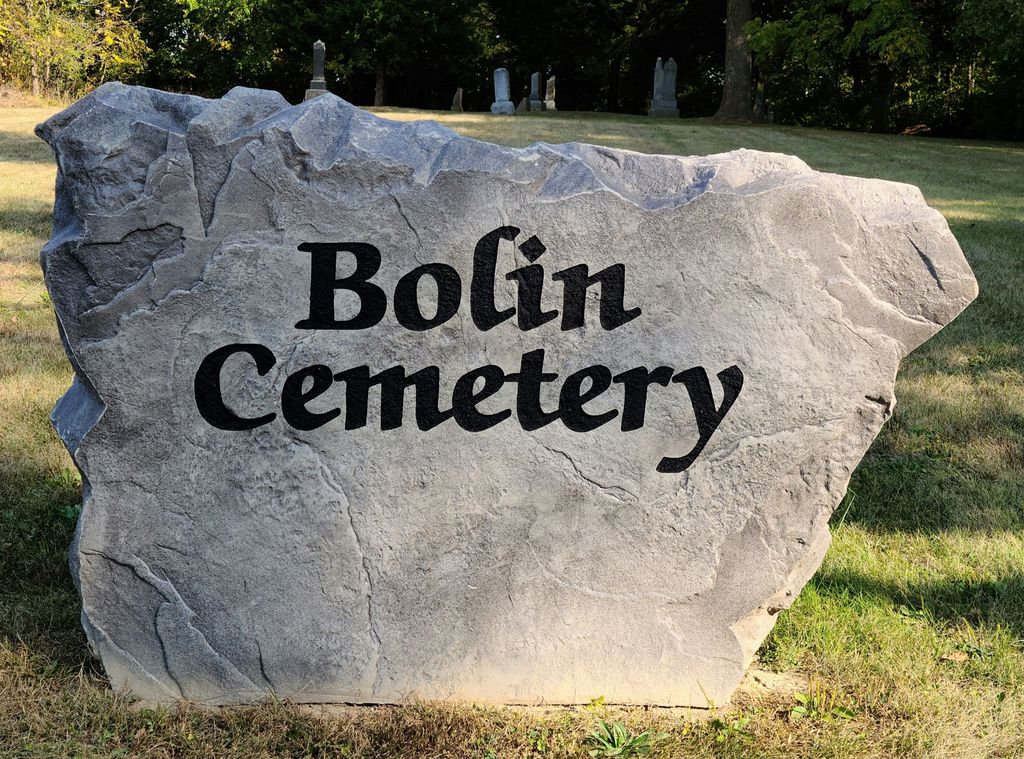
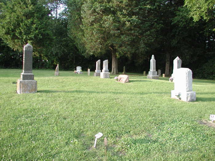
| Memorials | : | 2 |
| Location | : | Moultrie County, USA |
| Coordinate | : | 39.6116982, -88.5263977 |
| Description | : | The cemetery is located in Jonathan Creek Township on the north side of County Road 1425 N about 0.1 miles east of its intersection with Jonathan Creek Road. The U.S. Geological Survey (USGS) Geographic Names Information System (GNIS) feature ID for the cemetery is 1721069 (Bolin Cemetery). |
frequently asked questions (FAQ):
-
Where is Bolin Cemetery?
Bolin Cemetery is located at County Road 1425 N Moultrie County ,Illinois , 61951USA.
-
Bolin Cemetery cemetery's updated grave count on graveviews.com?
2 memorials
-
Where are the coordinates of the Bolin Cemetery?
Latitude: 39.6116982
Longitude: -88.5263977
Nearby Cemetories:
1. Jonathan Creek Cemetery
Sullivan, Moultrie County, USA
Coordinate: 39.6114807, -88.5288315
2. Illinois Masonic Home Cemetery
Sullivan, Moultrie County, USA
Coordinate: 39.5999985, -88.5571976
3. Herschberger Cemetery
Sullivan, Moultrie County, USA
Coordinate: 39.5852470, -88.5150790
4. Seass Cemetery
Moultrie County, USA
Coordinate: 39.6444016, -88.5289001
5. Daugherty Cemetery
East Nelson Township, Moultrie County, USA
Coordinate: 39.5914001, -88.5618973
6. Hagerman Cemetery
Moultrie County, USA
Coordinate: 39.6232986, -88.5783005
7. Purvis Cemetery
Allenville, Moultrie County, USA
Coordinate: 39.5718994, -88.5567017
8. Ginn-Ellis Cemetery
East Nelson Township, Moultrie County, USA
Coordinate: 39.5811160, -88.4644200
9. Greenhill Cemetery
Sullivan, Moultrie County, USA
Coordinate: 39.5978012, -88.5999985
10. Graham Chapel Cemetery
Allenville, Moultrie County, USA
Coordinate: 39.5567818, -88.4942703
11. French Cemetery
Allenville, Moultrie County, USA
Coordinate: 39.5508003, -88.5560989
12. Trinity Christian Fellowship Cemetery
Sullivan, Moultrie County, USA
Coordinate: 39.6666990, -88.4761040
13. Mount Zion General Baptist Cemetery
North Okaw Township, Coles County, USA
Coordinate: 39.5672493, -88.4602890
14. Gingerich Cemetery
Sullivan, Moultrie County, USA
Coordinate: 39.6797830, -88.5381920
15. Zoar Cemetery
North Okaw Township, Coles County, USA
Coordinate: 39.5715790, -88.4436722
16. Yoder Cemetery
Arthur, Douglas County, USA
Coordinate: 39.6608009, -88.4477997
17. Gearhart Cemetery
North Okaw Township, Coles County, USA
Coordinate: 39.5488250, -88.4531230
18. Pleasant Grove Cemetery
North Okaw Township, Coles County, USA
Coordinate: 39.5859299, -88.4144135
19. Camfield Cemetery
Sullivan, Moultrie County, USA
Coordinate: 39.5793991, -88.6374969
20. Smith Cemetery
North Okaw Township, Coles County, USA
Coordinate: 39.5744019, -88.4000015
21. Pleasant View Church Cemetery
Chesterville, Douglas County, USA
Coordinate: 39.6732292, -88.4136581
22. Monson Cemetery
Moultrie County, USA
Coordinate: 39.5058870, -88.5041540
23. Smyser Cemetery
Gays, Moultrie County, USA
Coordinate: 39.5026588, -88.5226669
24. Yoder Cemetery
Arthur, Douglas County, USA
Coordinate: 39.7105293, -88.4577026


