
| Memorials | : | 0 |
| Location | : | Lyford, Parke County, USA |
| Coordinate | : | 39.6365340, -87.3555030 |
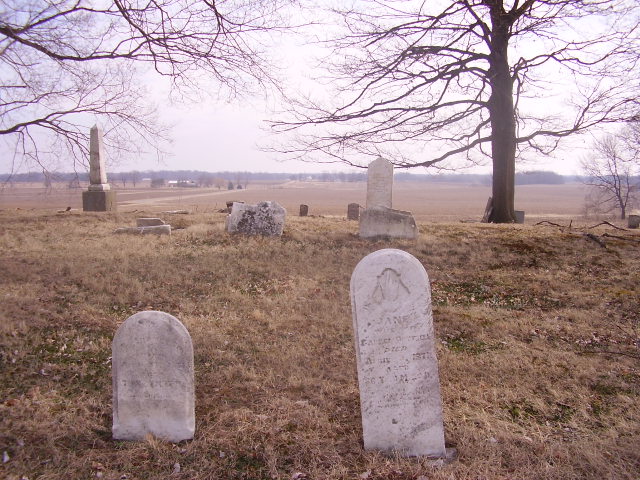
| Description | : | The cemetery is located in Florida Township (NW quadrant of the NE quadrant of the NE quadrant of Section 25 Township 14N Range 9W) about 150 feet east of County Road 625 W / County Road 7 about 300 feet south of its intersection with W County Road 900 S. Indiana Cemetery Locations, Volume 3, published by the Indiana Genealogical Society (April 2007), gives the primary cemetery name as Cheadle Cemetery with an alternate name of Sand Creek Cemetery. The cemetery is listed in the Cemetery and Burial Grounds Registry of the Indiana Department of Natural Resources (DNR)... Read More |
frequently asked questions (FAQ):
-
Where is Bound Cemetery?
Bound Cemetery is located at County Road 625 W / County Road 7 Lyford, Parke County ,Indiana , 47874USA.
-
Bound Cemetery cemetery's updated grave count on graveviews.com?
0 memorials
-
Where are the coordinates of the Bound Cemetery?
Latitude: 39.6365340
Longitude: -87.3555030
Nearby Cemetories:
1. Cottrell Cemetery
Numa, Parke County, USA
Coordinate: 39.6207314, -87.3457489
2. Lyford Cemetery
Lyford, Parke County, USA
Coordinate: 39.6513000, -87.3705000
3. Numa Cemetery
Parke County, USA
Coordinate: 39.6289530, -87.3782030
4. Laney Cemetery
Numa, Parke County, USA
Coordinate: 39.6340294, -87.3308716
5. Keltner Cemetery
Rosedale, Parke County, USA
Coordinate: 39.6531360, -87.3411540
6. Walker Cemetery
West Atherton, Parke County, USA
Coordinate: 39.6166350, -87.3636960
7. Mount Pleasant Cemetery
Rosedale, Parke County, USA
Coordinate: 39.6669250, -87.3365580
8. Boatman Cemetery
Florida Township, Parke County, USA
Coordinate: 39.6205830, -87.3137320
9. Joppa Cemetery
Otter Creek Junction, Vigo County, USA
Coordinate: 39.6015180, -87.3294030
10. Johnson Burying Grounds
Coxville, Parke County, USA
Coordinate: 39.6645584, -87.3148117
11. Riverside Cemetery
Clinton, Vermillion County, USA
Coordinate: 39.6671371, -87.3983994
12. Dailey Chapel Cemetery
Parke County, USA
Coordinate: 39.6815300, -87.3471909
13. Wood Cemetery
North Terre Haute, Vigo County, USA
Coordinate: 39.5872002, -87.3581009
14. Rukes Cemetery
Rosedale, Parke County, USA
Coordinate: 39.6112251, -87.2993164
15. Coxville Cemetery
Coxville, Parke County, USA
Coordinate: 39.6475105, -87.2917023
16. Walnut Grove Cemetery
Clinton, Vermillion County, USA
Coordinate: 39.6733017, -87.4002991
17. Orlea Cemetery
Coxville, Parke County, USA
Coordinate: 39.6808014, -87.3047028
18. Webster Burying Ground
Terre Haute, Vigo County, USA
Coordinate: 39.5788190, -87.3796730
19. Rosedale Cemetery
Rosedale, Parke County, USA
Coordinate: 39.6246986, -87.2753296
20. Shepherds Cemetery
Shepardsville, Vigo County, USA
Coordinate: 39.5959015, -87.4181976
21. Stevenson Cemetery
North Terre Haute, Vigo County, USA
Coordinate: 39.5713997, -87.3510971
22. Lyons Cemetery
North Terre Haute, Vigo County, USA
Coordinate: 39.5719380, -87.3815960
23. Chunn Cemetery
Clinton Township, Vermillion County, USA
Coordinate: 39.6075770, -87.4366350
24. Pence Cemetery
Mecca, Parke County, USA
Coordinate: 39.6927440, -87.2971790