
| Memorials | : | 3 |
| Location | : | Redbird, Gasconade County, USA |
| Coordinate | : | 38.1657982, -91.5472031 |
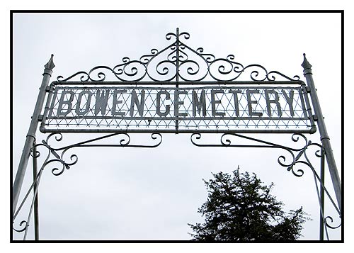
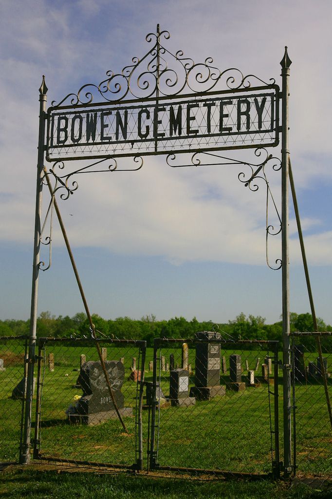
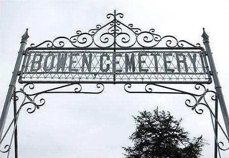
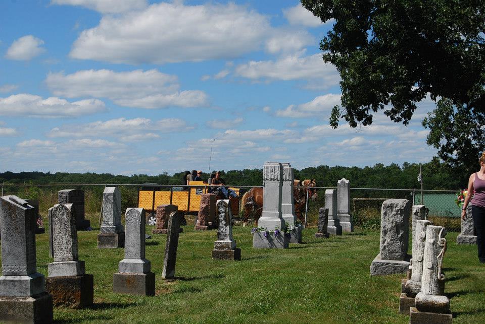
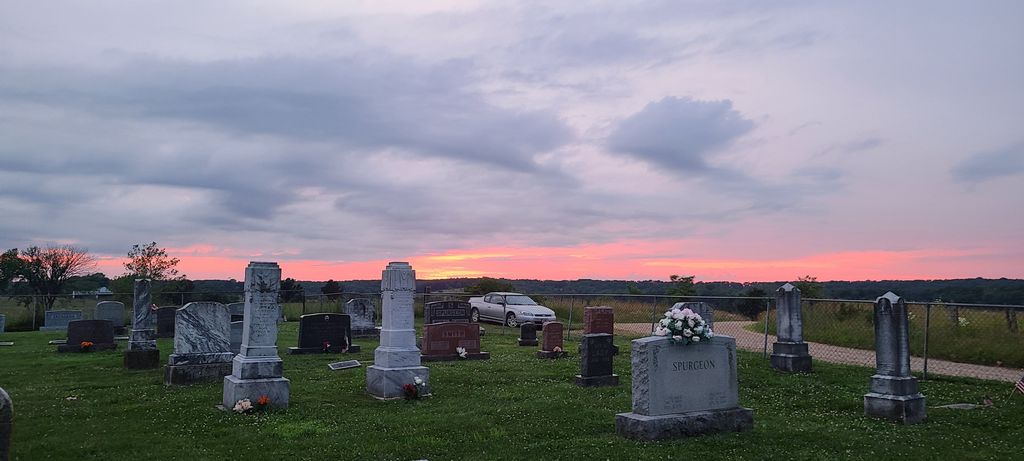
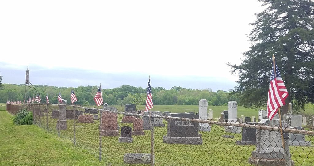
| Description | : | Bowen Cemetery was founded by the family of Isaiah Bowen who originally settled the land in 1829. Almost all of the people interred in the cemetery are descendants of Isaiah Bowen and Nancy Sturgeon Bowen. The cemetery is owned and maintained by the Bowen Cemetery Association, and governed by an elected board. If you have an ancestor or child buried in Bowen Cemetery, you are a voting member of the Bowen Cemetery Association. You can contact the association and join the mailing list at [email protected] Directions: From the towns of St. James or Bland take Hwy B and turn... Read More |
frequently asked questions (FAQ):
-
Where is Bowen Cemetery?
Bowen Cemetery is located at Redbird, Gasconade County ,Missouri ,USA.
-
Bowen Cemetery cemetery's updated grave count on graveviews.com?
2 memorials
-
Where are the coordinates of the Bowen Cemetery?
Latitude: 38.1657982
Longitude: -91.5472031
Nearby Cemetories:
1. Pope Cemetery
Gasconade County, USA
Coordinate: 38.1758003, -91.5483017
2. Oak Grove Cemetery
Saint James, Phelps County, USA
Coordinate: 38.1492230, -91.5544500
3. Jackson Cemetery
Redbird, Gasconade County, USA
Coordinate: 38.1821400, -91.5631800
4. Licklider Cemetery
Jake Prairie, Crawford County, USA
Coordinate: 38.1666985, -91.5149994
5. Matlock Cemetery #2
Dawson Township, Phelps County, USA
Coordinate: 38.1363460, -91.5479820
6. Scantlin Cemetery
Phelps County, USA
Coordinate: 38.1525002, -91.5817032
7. Fuhring Cemetery
Phelps County, USA
Coordinate: 38.1422005, -91.5808029
8. Sorrell Cemetery
Gasconade County, USA
Coordinate: 38.2028008, -91.5678024
9. Anderson Cemetery
Crawford County, USA
Coordinate: 38.1516991, -91.4985962
10. Union Chapel Cemetery
Jake Prairie, Crawford County, USA
Coordinate: 38.1602060, -91.4941410
11. Frederickson Family Cemetery
Jake Prairie, Crawford County, USA
Coordinate: 38.1455260, -91.4949840
12. McIntire Cemetery
Crawford County, USA
Coordinate: 38.1610985, -91.4847031
13. Smith Cemetery
Gasconade County, USA
Coordinate: 38.2042007, -91.5886002
14. LeDuc Methodist Church Cemetery
Owensville, Gasconade County, USA
Coordinate: 38.2140700, -91.5936600
15. Collier Cemetery
Gasconade County, USA
Coordinate: 38.2144012, -91.4997025
16. Oak Forest Cemetery
Redbird, Gasconade County, USA
Coordinate: 38.1720450, -91.6250910
17. Gibson Cemetery
Cuba, Crawford County, USA
Coordinate: 38.1747017, -91.4649963
18. Griffith Cemetery
Crawford County, USA
Coordinate: 38.1542015, -91.4591980
19. Dawson Cemetery
Phelps County, USA
Coordinate: 38.0952988, -91.5802994
20. Loeb Cemetery
Gasconade County, USA
Coordinate: 38.2224998, -91.4783020
21. Love Cemetery
Maries County, USA
Coordinate: 38.1666985, -91.6489029
22. Branstetter Cemetery
Phelps County, USA
Coordinate: 38.0861015, -91.5761032
23. McWilliams Cemetery
Crawford County, USA
Coordinate: 38.1349983, -91.4486008
24. Schweitzer Burial Site
Saint James, Phelps County, USA
Coordinate: 38.0822700, -91.5420060