| Memorials | : | 0 |
| Location | : | Johnson County, USA |
| Coordinate | : | 36.3452988, -81.9630966 |
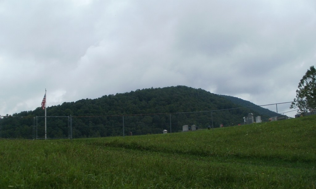
| Description | : | This cemetery was called Midway Cemetery in the 30's, 40's and 50's. It is now know as Bradley Cemetery. The Cemetery was listed by the TVA as Midway Cemetery when they created Watauga Lake. Driving Directions: Take Lakeview Road to Goose Bradley Lane. After the sharp left curve look for the metal gate that sits in the edge of the woods, follow gated road to top of hill and the cemetery is visible on the left. This cemetery was photographed and a memorial made for each headstone in July 2012. |
frequently asked questions (FAQ):
-
Where is Bradley Cemetery?
Bradley Cemetery is located at Johnson County ,Tennessee ,USA.
-
Bradley Cemetery cemetery's updated grave count on graveviews.com?
0 memorials
-
Where are the coordinates of the Bradley Cemetery?
Latitude: 36.3452988
Longitude: -81.9630966
Nearby Cemetories:
1. Silas Blackburn Cemetery
Butler, Johnson County, USA
Coordinate: 36.3475500, -81.9545300
2. Wagner Cemetery
Johnson County, USA
Coordinate: 36.3572006, -81.9617004
3. Glenn Cable Cemetery
Butler, Johnson County, USA
Coordinate: 36.3318100, -81.9593800
4. Carriger Cemetery
Johnson County, USA
Coordinate: 36.3373500, -81.9829100
5. Dry Hill Cemetery
Johnson County, USA
Coordinate: 36.3280983, -81.9539032
6. Trivett Family Cemetery
Dry Hill, Johnson County, USA
Coordinate: 36.3275600, -81.9546500
7. Greenwell Cemetery
Johnson County, USA
Coordinate: 36.3306007, -81.9785995
8. Wagner Cemetery
Dry Hill, Johnson County, USA
Coordinate: 36.3292007, -81.9822006
9. Dot Potter Cemetery
Johnson County, USA
Coordinate: 36.3681300, -81.9763600
10. Proffitt Cemetery
Johnson County, USA
Coordinate: 36.3678017, -81.9486008
11. Phillips Cemetery
Butler, Johnson County, USA
Coordinate: 36.3703800, -81.9752100
12. Noah Fletcher
Johnson County, USA
Coordinate: 36.3639700, -81.9873000
13. William Powell Burial Site
Butler, Johnson County, USA
Coordinate: 36.3195600, -81.9514900
14. James W. Fletcher Cemetery
Johnson County, USA
Coordinate: 36.3664100, -81.9850000
15. Sugar Grove Baptist Church Cemetery
Dry Hill, Johnson County, USA
Coordinate: 36.3174200, -81.9590100
16. Harmon Cemetery
Johnson County, USA
Coordinate: 36.3657340, -81.9883060
17. New Grindstaff Cemetery
Johnson County, USA
Coordinate: 36.3716300, -81.9815000
18. James Grayson Smith Home Cemetery
Johnson County, USA
Coordinate: 36.3719500, -81.9814500
19. Sink Valley Cemetery
Butler, Johnson County, USA
Coordinate: 36.3503100, -82.0011700
20. Thomas J Stout Cemetery
Johnson County, USA
Coordinate: 36.3741989, -81.9477997
21. Grindstaff Cemetery
Johnson County, USA
Coordinate: 36.3717003, -81.9408035
22. John Cable Cemetery
Dry Hill, Johnson County, USA
Coordinate: 36.3130989, -81.9606018
23. Jacob F. Grindstaff Cemetery
Butler, Johnson County, USA
Coordinate: 36.3717790, -81.9401380
24. Julius Dugger Cemetery
Dry Hill, Johnson County, USA
Coordinate: 36.3130989, -81.9580994

